Courtland in Southampton County, Virginia — The American South (Mid-Atlantic)
The 1831 Insurrection
An Overview
| — | Nat Turner Trail: 1831 Southampton Insurrection | — |

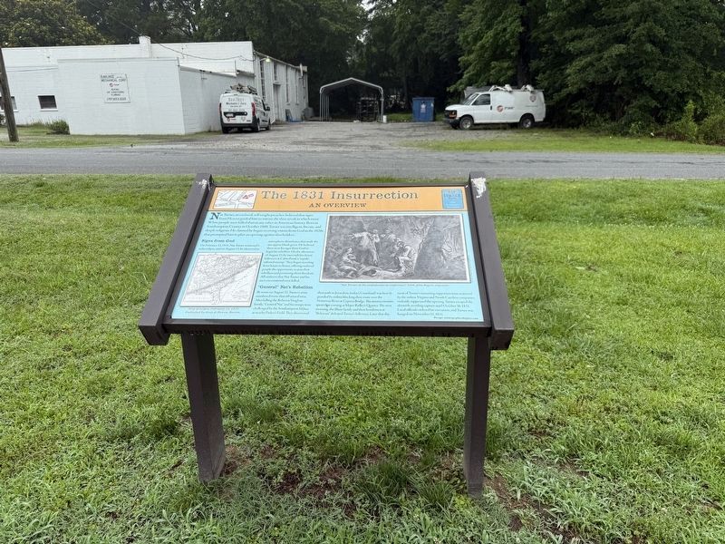
Nat Turner, an enslaved, self-taught preacher, believed that signs from Heaven guided him to initiate the slave revolt in which more White people were killed than in any other in American history. Born in Southampton County in October 1800, Turner was intelligent, literate, and deeply religious. He claimed he began receiving visions from God in the 1820s that prompted him to plan an uprising against slaveholders.
Signs from God
On February 12, 1831, Nat Turner witnessed a solar eclipse, and on August 13, he observed an atmospheric disturbance that made the sun appear bluish green. He believed these were his signs from God to begin his rebellion. On the afternoon of August 21, he met with his closest followers at Cabin Pond, a "reptile-infested swamp." They began traveling from house to house, offering enslaved people the opportunity to join their rebellion and promising them freedom. All enslavers that Nat Turner and his men encountered were killed.
"General" Nat's Rebellion
By noon on August 22, Turner's army numbered more than 60 armed men. After killing the Rebecca Vaughan family, "General Nat" and his troops
this page online
Erected by Nat Turner Insurrection Trail.
Topics and series. This historical marker is listed in these topic lists: Abolition & Underground RR • African Americans • Law Enforcement • Religion & Religious Structures. In addition, it is included in the Nat Turner Trail: 1831 Southampton Insurrection series list. A significant historical date for this entry is February 12, 1831.
Location. 36° 42.662′ N, 77° 3.462′ W. Marker is in Courtland, Virginia,

Regionally, this marker is in Coastal Virginia and in the Hampton Roads Metropolitan Area. It is also in the American South, specifically in the Upper South, and in the Tidewater. Globally, it is in North America, the Western Hemisphere, the Western World, and the Anglosphere. Historically, it finds itself in what was once the territory of the Mississippian Culture, one of the original Thirteen Colonies, one of the Confederate States of America, and the Antebellum South.
Other nearby markers. At least 8 other markers are within walking distance of this marker: Rebecca Vaughan House (here, next to this marker); Conditions of Slavery (a few steps from this marker); Slavery's Roots (a few steps from this marker); Slave Revolts (within shouting distance of this marker); St. Luke's Church (approx. half a mile away); Seven Gables (approx. half a mile away); Rochelle-Prince House (approx. half a mile away); Southampton County (approx. half a mile away). Touch for a list and map of all markers in Courtland.
Another marker is no longer nearby. The Rebecca Vaughan House (was a few steps from this marker but has been replaced with another marker now near it).
Credits. This page was last revised on June 24, 2025. It was originally submitted on June 24, 2025, by Devry Becker Jones of Washington, District of Columbia. This page has been viewed 204 times since then and 52 times this year. Photos: 1, 2. submitted on June 24, 2025, by Devry Becker Jones of Washington, District of Columbia.
