Tremont in Cleveland in Cuyahoga County, Ohio — The American Midwest (Great Lakes)
Sokolowski's Overlook
People on the Move: Immigration and Migration
⎯⎯⎯
People on the Move: Transportation
Photographed by Ian Lefkowitz, May 25, 2025
1. Immigration and Migration side of marker
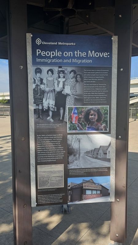
Immigration and Migration
The human story is a story of movement. From early hunter gatherers to modern job-seekers people have moved to find better resources or opportunities. Others have fled wars, famines, and harsh climates.
The Ohio area known as Tremont has attracted people on the move since pre-historic times. Indigenous people hunted and fished the area for centuries. In the early 1800s New Englanders, whose ancestors had immigrated from Old England in the 1600s, came here to settle in the Connecticut Western Reserve as farmers and entrepreneurs.
By the 1860s, as factories began to fill the valley the need for a large work force led to waves of immigration. Irish, Germans, Poles, Greeks, Syrians, Ukrainians, and Puerto Ricans are among the over 30 nationalities who have lived here. Their varied music, food, and religious traditions created a vibrant cultural landscape in the 20th century. In the early 21st century upscale condominiums, trendy restaurants and the proximities to the Ohio & Erie Canal Towpath Trail attracted young professionals to this ever-changing neighborhood.
Tremont area residents in the early 1800s from New England were drawn to the area by the promise of farmland. By the 1900s these farms had been subdivided and filled with houses for factory workers.
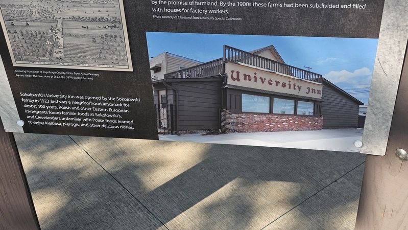
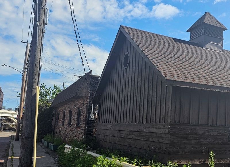
Sokolowski's University Inn was opened by the Sokolowski family in 1923 and was a neighborhood landmark for almost 100 years. Polish and other Eastern European immigrants found familiar food at Sokolowski's, and Clevelanders unfamiliar with Polish foods learned to enjoy kielbasa, pierogis, and other delicious dishes.
People on the Move:
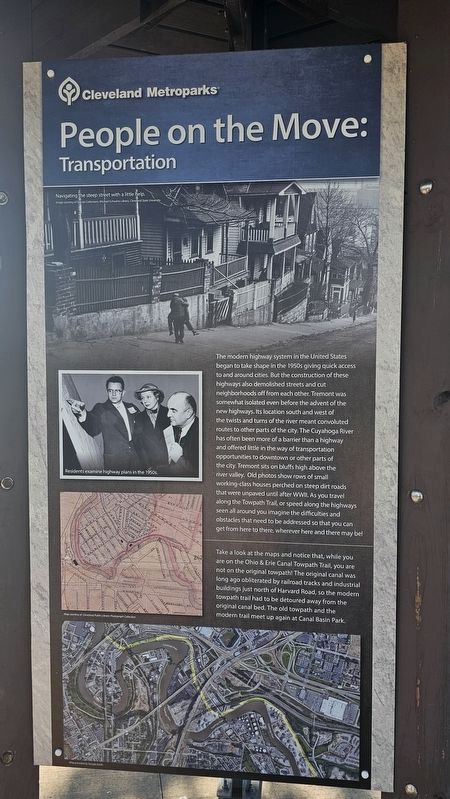
Transportation
Navigating the steep street with a little help.
Image courtesy of the Cleveland Press Collection, Cleveland State University
The modern highway system
this page online
Take a look at the maps and notice that, while you are on the Ohio & Erie Canal Towpath Trail, you are not on the original towpath! The original canal was long ago obliterated by railroad tracks and
Photographed by Ian Lefkowitz, May 25, 2025
2. Transportation side of marker
Erected by Cleveland Metroparks.
Topics. This historical marker is listed in these topic lists: Immigration • Waterways & Vessels. A significant historical year for this entry is 1923.
Location. 41° 29.102′ N, 81° 41.425′ W. Marker is in Cleveland, Ohio, in Cuyahoga County. It is in Tremont. It is on University Road near West 13th Place. Touch for map. Marker is at or near this postal address: 1203 University Road, Cleveland OH 44113, United States of America. Touch for directions.

Regionally, this marker is on Ohio’s Lake Erie Shore and in the Western Reserve. It is also in the American Midwest. Globally, it is in North America, on the Great Lakes, in the Western Hemisphere, in the Western World, and in the Anglosphere. Historically, it finds itself in what was once the Haudenosaunee (Iroquois) Confederacy, the territory of the Mississippian Culture, and the Northwest Territory.
Other nearby markers. At least
Photographed by Ian Lefkowitz, May 25, 2025
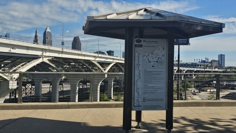
3. Sokolowski's Overlook Side of Marker
This side of the marker contains a map and rules of the park and the entire Ohio and Erie Canalway.
Another marker is no longer nearby. Camp Cleveland (was approx. 0.2 miles away but has been permanently removed).
Photographed by Ian Lefkowitz, May 25, 2025
4. Sokolowski's Inn
A closeup of the marker featuring the history of Sokolowski's University Inn.
Photographed by Ian Lefkowitz, May 25, 2025
5. Sokolowski's Inn
The former site of Sokolowski's University Inn, a beloved Eastern European tavern that served diners from 1923-2020.
Photographed by Ian Lefkowitz, May 25, 2025
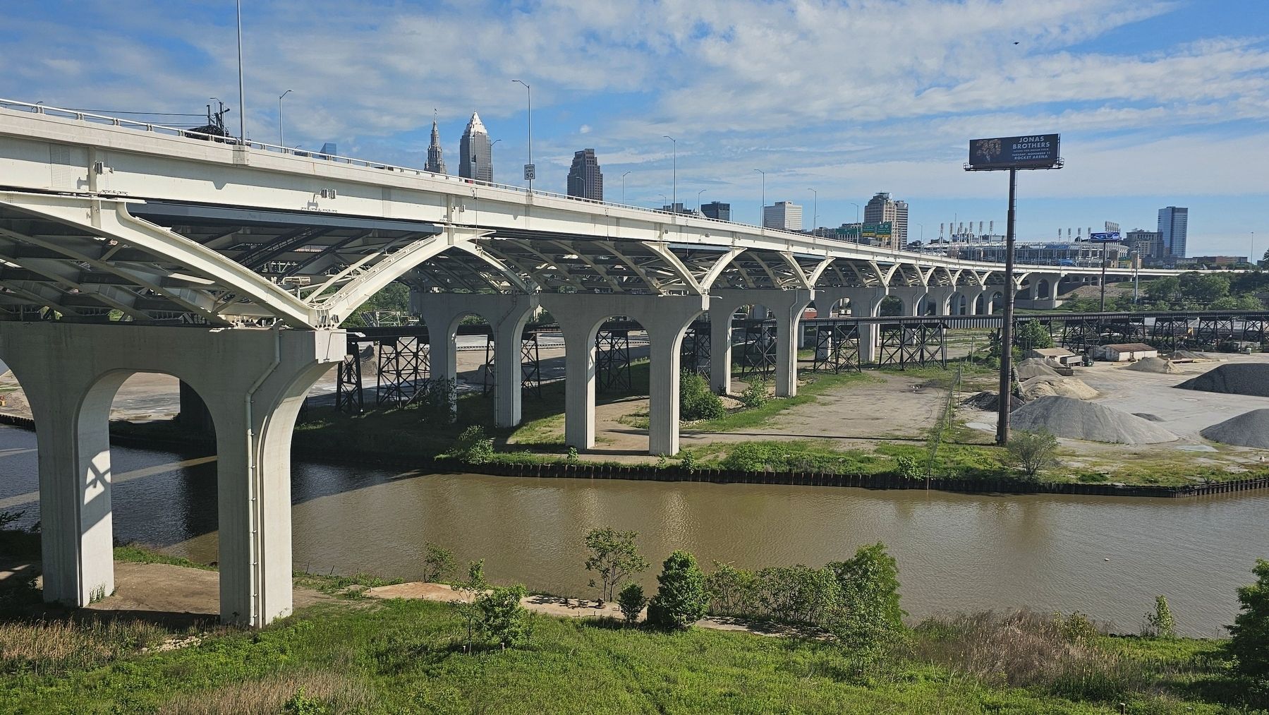
6. Sokolowski's Overlook
The point offers a view of the Cuyahoga River and downtown Cleveland behind the George V. Voinovich Bridges.
Credits. This page was last revised on July 10, 2025. It was originally submitted on June 26, 2025, by Ian Lefkowitz of New York, New York. This page has been viewed 150 times since then and 33 times this year. Photos: 1, 2, 3, 4, 5, 6. submitted on June 26, 2025, by Ian Lefkowitz of New York, New York. • Andrew Ruppenstein was the editor who published this page.
