Camden in Camden County, North Carolina — The American South (South Atlantic)
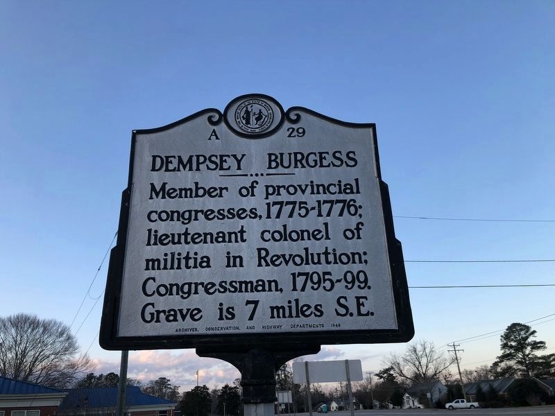
Dempsey Burgess
Erected 1948 by Archives Conservation and Highway Department. (Marker Number A29.)
Topics and series. This historical marker is listed in these topic lists: Cemeteries & Burial Sites • Colonial Era • Government & Politics • War, US Revolutionary. In addition, it is included in the North Carolina Division of Archives and History series list. A significant historical year for this entry is 1776.
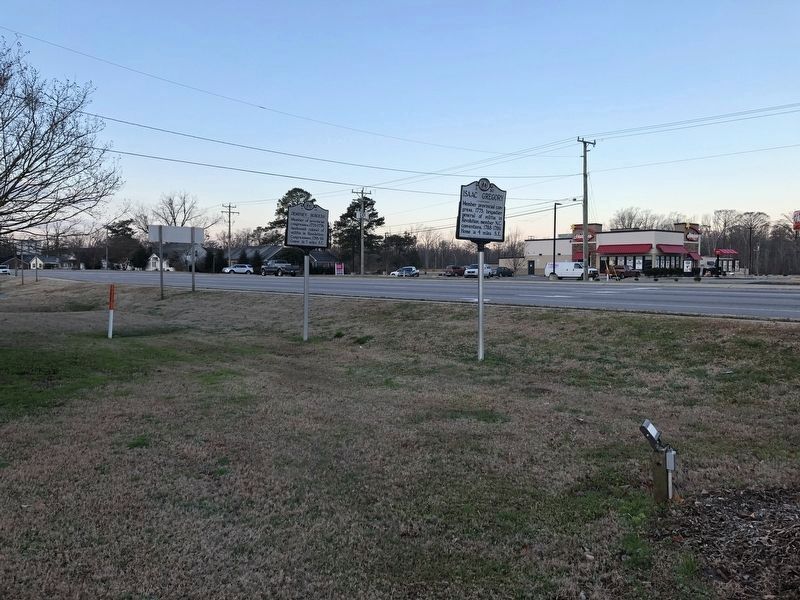
Location. 36° 19.656′ N, 76° 10.237′ W. Marker is in Camden, North Carolina, in Camden County. Marker is at the intersection of State Highway 343 and NC Highway 34 North (U.S. 158), on the left on State Highway 343. Touch for map. Marker is at or near this postal address: 109 N Carolina Hwy 343 S, Camden NC 27921, United States of America. Touch for directions.
Other nearby markers. At least 8 other markers are within 3 miles of this marker, measured as the crow flies. Isaac Gregory (within shouting distance of this marker); a different marker also named Isaac Gregory (about 400 feet away, measured in a direct line); Locks of the Dismal Swamp Canal (approx. ¼ mile away); Camden County Courthouse (approx. ¼ mile away); Camden County Jail (approx. ¼ mile away); Veterans Memorial (approx. ¼ mile away); Lemuel Sawyer (approx. one mile away); Former Site of Sawyer's Creek / Marian Anderson High School (approx. 2.3 miles away). Touch for a list and map of all markers in Camden.
Credits. This page was last revised on January 20, 2021. It was originally submitted on October 1, 2007, by Laura Troy of Burke, Virginia. This page has been viewed 2,074 times since then and 19 times this year. Photos: 1, 2. submitted on January 20, 2021, by Devry Becker Jones of Washington, District of Columbia. • J. J. Prats was the editor who published this page.
Editor’s want-list for this marker. Photo of Burgess grave. • Can you help?

