Aynor in Horry County, South Carolina — The American South (South Atlantic)
Waccamaw Tribal Grounds
Photographed by Charles Wright, June 27, 2025
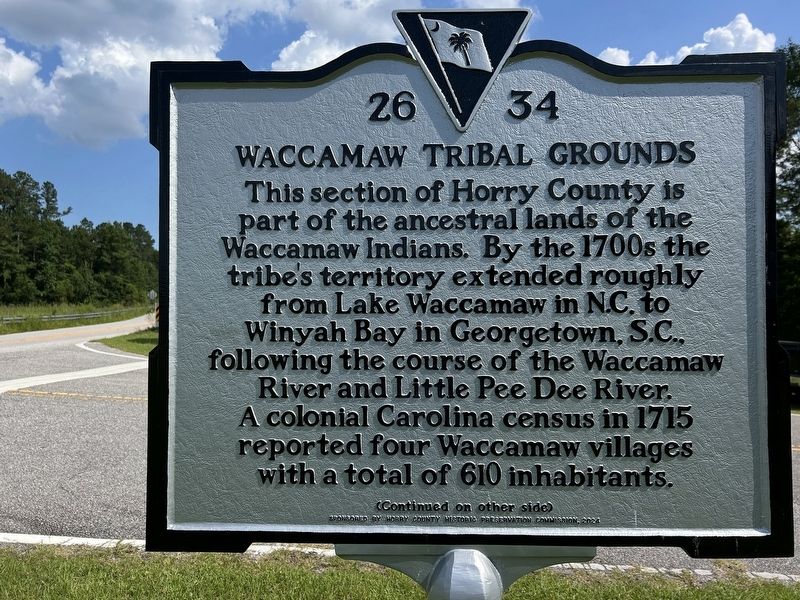
1. Waccamaw Tribal Grounds Marker, Side One
This section of Horry County is part of the ancestral lands of the Waccamaw Indians. By the 1700s the tribe's territory extended roughly from Lake Waccamaw in N.C. to Winyah Bay in Georgetown, S.C., following the course of the Waccamaw River and Little Pee Dee River. A colonial Carolina census in 1715 reported four Waccamaw villages with a total of 610 inhabitants.
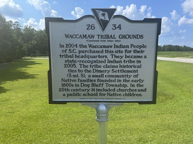
In 2004 the Wacamaw Indian People of S.C. purchased this site for their tribal headquarters. They became a state-recognized Indian tribe in 2005. The tribe claims historical ties to the Dimery Settlement (3 mi. S), a small community of Native families founded in the early 1800s in Dog Bluff Township. In the 20th century it included churches and a public school for Native children.
Erected 2024 by Horry County Historic Preservation Commission. (Marker Number 26 34.)
Topics. This historical marker is listed in these topic lists: Anthropology & Archaeology • Government & Politics • Indigenous Peoples and Communities • Settlements & Settlers. A significant historical year for this entry is 1715.
Location. 33° 58.856′ N, 79° 12.189′ W. Marker
this page online

Regionally, this marker is in the Pee Dee. It is also in the American South, specifically in the Deep South, and on the Eastern Seaboard. Globally, it is in the North Atlantic Region, North America, the Western Hemisphere, the Western World, and the Anglosphere. Historically, it finds itself in what was once the territory of the Mississippian Culture, one of the original Thirteen Colonies, one of the Confederate States of America, and the Antebellum South.
Other nearby markers. At least 8 other markers are within 11 miles of this marker, measured as the crow flies: Levister Elementary School (approx. 0.9 miles away); Galivants Ferry (approx. 5.7 miles away); Holliday Highway (approx. 5.7 miles away); Galivants Ferry Stump Meeting (approx. 5.8 miles away); Military Air Crash Site (approx. 6.7 miles away); St. James A.M.E. Church (approx. 8½ miles away); a different marker
Photographed by Charles Wright, June 27, 2025
2. Waccamaw Tribal Grounds Marker, Side Two
Another marker is no longer nearby. Battle of Blue Savannah (was approx. 8.2 miles away but has been replaced with another marker now near it).
Also see . . . Waccamaw Indian People (Wikipedia article). (Submitted on July 20, 2025, by Devry Becker Jones of Washington, District of Columbia.)
Photographed by Charles Wright, June 27, 2025
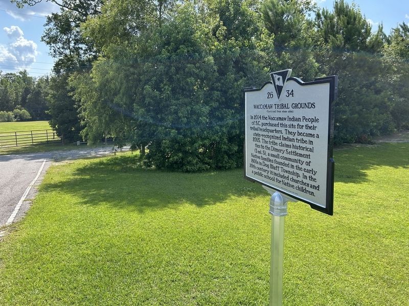
3. Waccamaw Tribal Grounds Marker
Photographed by Charles Wright, June 27, 2025
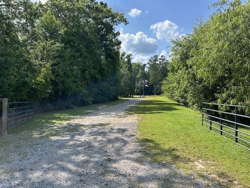
4. Waccamaw Tribal Grounds Marker
Credits. This page was last revised on July 20, 2025. It was originally submitted on June 27, 2025, by Charles Wright of Surfside Beach, South Carolina. This page has been viewed 1,792 times since then and 150 times this year. Photos: 1, 2, 3. submitted on June 27, 2025, by Charles Wright of Surfside Beach, South Carolina. 4. submitted on June 30, 2025, by Charles Wright of Surfside Beach, South Carolina. • Devry Becker Jones was the editor who published this page.
