Crosby in Crow Wing County, Minnesota — The American Midwest (Upper Plains)
Portsmouth Mine
Photographed by McGhiever
1. Portsmouth Mine Marker
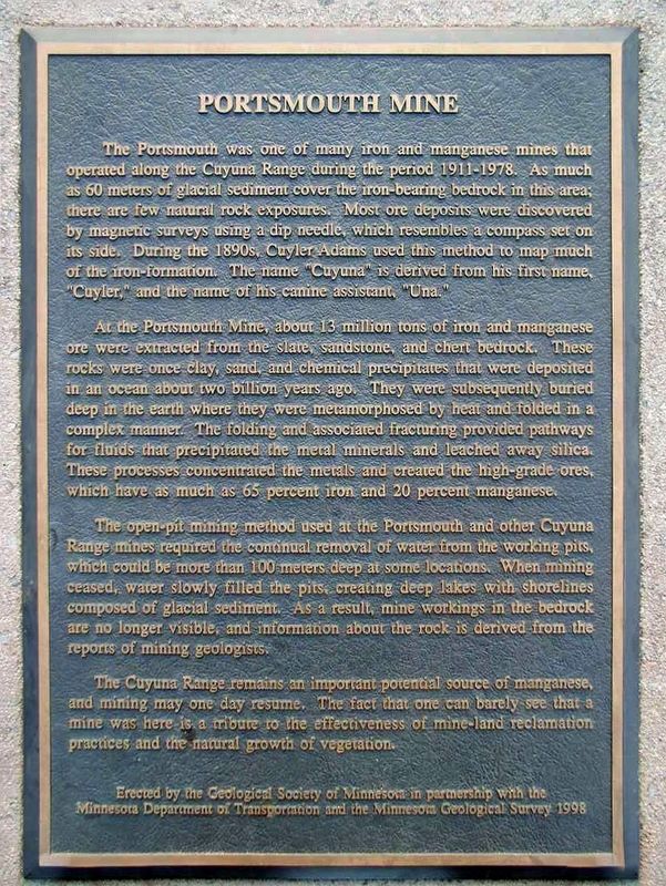
The Portsmouth was one of many iron and manganese mines that operated along the Cuyuna Range during the period 1911-1978. As much as 60 meters of glacial sediment cover the iron-bearing bedrock in this area; there are few natural rock exposures. Most ore deposits were discovered by magnetic surveys using a dip needle, which resembles a compass set on its side. During the 1890s, Cuyler Adams used this method to map much of the iron-formation. The name "Cuyuna" is derived from his first name, "Cuyler," and the name of his canine assistant, "Una."
At the Portsmouth Mine, about 13 million tons of iron and manganese ore were extracted from the slate, sandstone, and chert bedrock. These rocks were once clay, sand, and chemical precipitates that were deposited in an ocean about two billion years ago. They were subsequently buried deep in the earth where they were metamorphosed by heat and folded in a complex manner. The folding and associated fracturing provided pathways for fluids that precipitated the metal minerals and leached away the silica. These processes concentrated the metals and created the high-grade ores, which
this page online
The open-pit mining method used at the Portsmouth and other Cuyuna Range mines required the continual removal of water from the working pits, which could be more than 100 meters deep at some locations. When mining ceased, water slowly filled the pits, creating deep lakes with shorelines composed of glacial sediment. As a result, mine workings in the bedrock are no longer visible, and information about the rock is derived from the reports of mining geologists.
The Cuyuna Range remains an important potential source of manganese, and mining may one day resume. The fact that one can barely see that a mine was here is a tribute to the effectiveness of mine-land reclamation practices and the natural growth of vegetation.
Erected 1998 by Geological Society of Minnesota, Minnesota Department of Transportation, and Minnesota Geological Survey.
Topics and series. This historical marker is listed in these topic lists:
Photographed by McGhiever, June 27, 2025
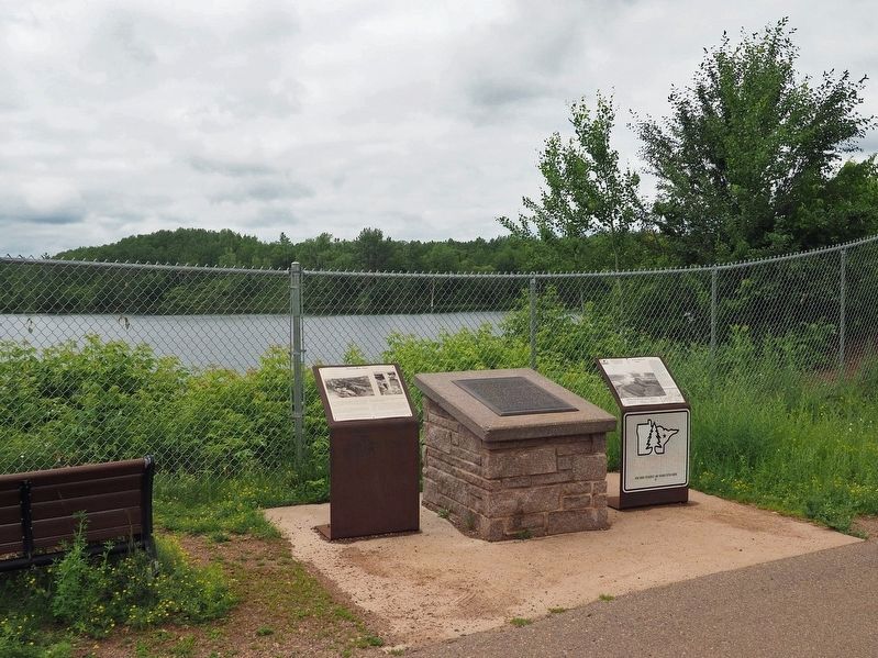
2. Portsmouth Mine Marker (center) at the Portsmouth Lake Overlook
Location. 46° 29.422′ N, 93° 57.454′ W. Marker is in Crosby, Minnesota, in Crow Wing County. It is at the intersection of the Cuyuna Lake Trail and State Highway 6 on the Cuyuna Lake Trail. Though signposted as a geological marker on southbound Highway 6, there is no longer a pullout here. It is possible to park on the shoulder and walk down to the marker. A safer option is a nearby parking lot at 23196 Yawkey Road and a short walk on the Cuyuna Lake Trail. Touch for map. Marker is at or near this postal address: 23065 State Highway 6, Crosby MN 56441, United States of America. Touch for directions.

Regionally, this marker is in the Northland. It is also in the American Midwest, in the Corn Belt, and in the Great River Road Region. Globally, it is in North America, the Great North Woods, the Western Hemisphere, the Western World, and the Anglosphere. Historically, it finds itself in what was once Rupert’s Land, the territory of the Mississippian Culture, and the Northwest Territory.
Other nearby markers. At least 8 other markers are within walking distance of this marker: A different marker also named Portsmouth Mine (here, next to this marker); a different marker also named Portsmouth Mine (here, next to this marker); Croft Mine Historical Park (approx. 0.3 miles away); Deerwood Mail Cart (approx. 0.6 miles away); Soo Line Depot (approx. 0.6 miles away); Fitger Brewing Company (approx. 0.6 miles away); Crosby Veterans Memorial (approx. ¾ mile away); Cuyuna Range Veterans Memorial (approx. 0.8 miles away). Touch for a list and map of all markers in Crosby.
Credits. This page was last revised on July 2, 2025. It was originally submitted on July 2, 2025, by McGhiever of Minneapolis, Minnesota. This page has been viewed 143 times since then and 38 times this year. Photos: 1. submitted on July 2, 2025, by McGhiever of Minneapolis, Minnesota. 2. submitted on June 30, 2025, by McGhiever of Minneapolis, Minnesota.
