
Medford in Middlesex County, Massachusetts — The American Northeast (New England)
The Slave Wall
Photographed by Mary Mangan, October 24, 2023
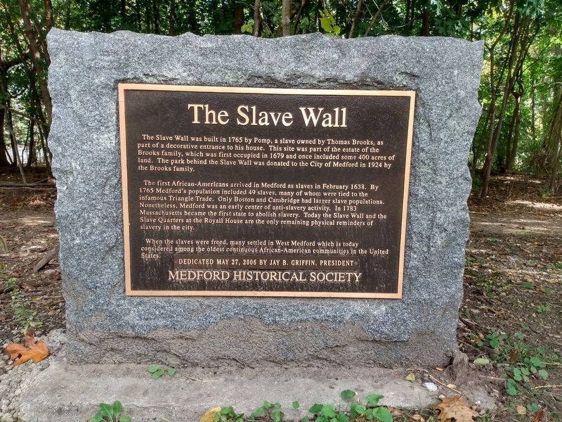
1. The Slave Wall Marker
The Slave Wall was built in 1765 by Pomp, a slave owned by Thomas Brooks, as a decorative entrance to his house. This site was part of the estate of the Brooks family, which was first occupied in 1679 and once included some 400 acres of land. The park behind the Slave Wall was donated to the City of Medford in 1924 by the Brooks family.
The first African-Americans arrived in Medford as slaves in February 1638. By 1765 Medford's population included 49 slaves, many of whom were tied to the infamous Triangle Trade. Only Boston and Cambridge had larger slave populations. Nonetheless, Medford was an early center of anti-slavery activity. In 1783 Massachusetts became the first state to abolish slavery. Today the Slave Wall and the Slave Quarters at the Royall House are the only remaining physical reminders of slavery in the city.
When the slaves were freed, many settled in West Medford which is today considered among the oldest continuous African-American communities in the United States.
Medford Historical Society
Erected 2006 by Medford Historical Society.
this page online
Topics. This historical marker is listed in these topic lists: Abolition & Underground RR • African Americans • Colonial Era. A significant historical year for this entry is 1765.
Location. 42° 25.527′ N, 71° 8.325′ W. Marker is in Medford, Massachusetts, in Middlesex County. It is at the intersection of Grove Street and Ravine Road, on the right when traveling north on Grove Street. Touch for map. Marker is in this post office area: Medford MA 02155, United States of America. Touch for directions.

Regionally, this marker is in Historic Boston and specifically in Greater Boston. It is also in the American Northeast, in New England, and on the Eastern Seaboard. Globally, it is in the North Atlantic Region, North America, the Western Hemisphere, the Western World, and the Anglosphere. Historically, it finds itself in what was once one of the original Thirteen Colonies.
Other nearby markers. At least 8 other markers are within 2 miles of this marker, measured as the crow flies: Cooper’s Tavern (approx. one mile away); Samuel Whittemore (approx. one mile away); Whittemore Park (approx. one mile away); Old Men of Menotomy
Photographed by Mary Mangan, October 24, 2023
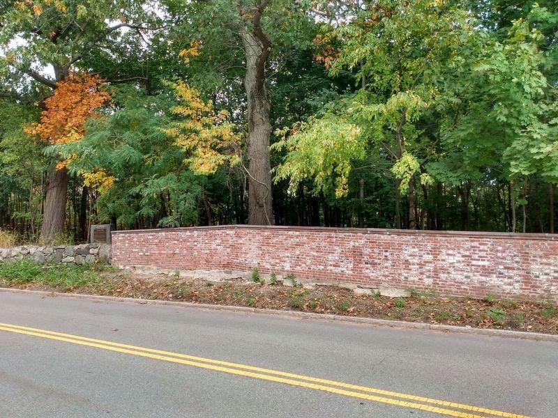
2. The Slave Wall Marker
adjacent to the restored wall
adjacent to the restored wall
Additional keywords. Enslaved people, brick worker
Credits. This page was last revised on July 8, 2025. It was originally submitted on July 2, 2025, by Mary Mangan of Somerville, Massachusetts. This page has been viewed 479 times since then and 203 times this year. Photos: 1, 2. submitted on July 2, 2025, by Mary Mangan of Somerville, Massachusetts. • Michael Herrick was the editor who published this page.
