Stoney Ridge in Dayton in Montgomery County, Ohio — The American Midwest (Great Lakes)
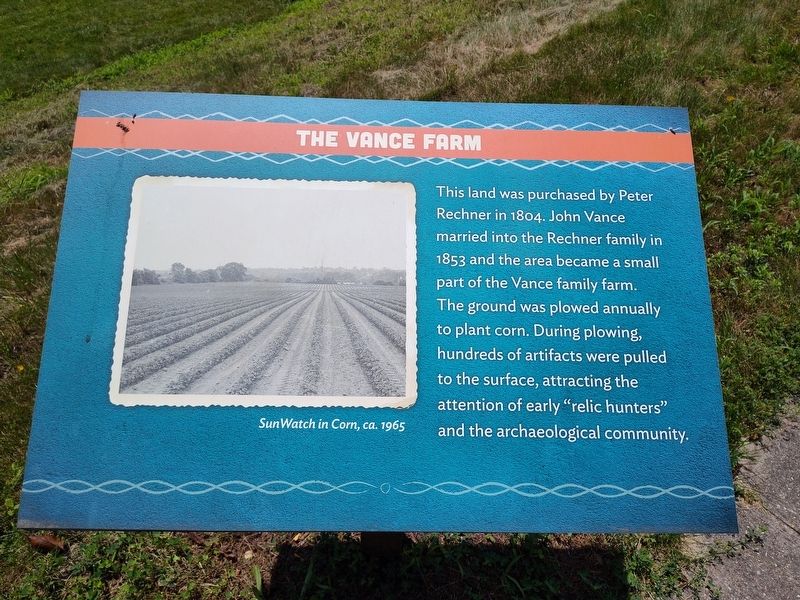
The Vance Farm
| — | SunWatch Indian Village | — |
Photographed by Craig Doda, June 28, 2025
1. The Vance Farm Marker
The ground was plowed annually to plant corn. During plowing, hundreds of artifacts were pulled to the surface, attracting the attention of early "relic hunters" and the archaeological community.
Topics. This historical marker is listed in these topic lists: Anthropology & Archaeology • Indigenous Peoples and Communities.
Location. 39° 42.977′ N, 84° 13.932′ W. Marker is in Dayton, Ohio, in Montgomery County. It is in Stoney Ridge. It can be reached from West River Road half a mile south of Guthrie Road, on the right when traveling south. Touch for map. Marker is at or near this postal address: 2301 W River Road, Dayton OH 45417, United States of America. Touch for directions.

Regionally, this marker is in Ohio’s Miami Valley. It is also in the American Midwest and in the Corn Belt. Globally, it is in North America, the Western Hemisphere, the Western World, and the Anglosphere. Historically,
this page online
Other nearby markers. At least 8 other markers are within walking distance of this marker: Early Investigations (a few steps from this marker); The Incinerator Site (a few steps from this marker); J. Heilman (within shouting distance of this marker); Virginia Kettering (within shouting distance of this marker); What Is Fort Ancient Culture? (within shouting distance of this marker); Who Lived Here And How Long Ago? (within shouting distance of this marker); SunWatch (within shouting distance of this marker); Late Woodland A.D. 450-1000 (within shouting distance of this marker). Touch for a list and map of all markers in Dayton.
Photographed by Craig Doda, June 28, 2025
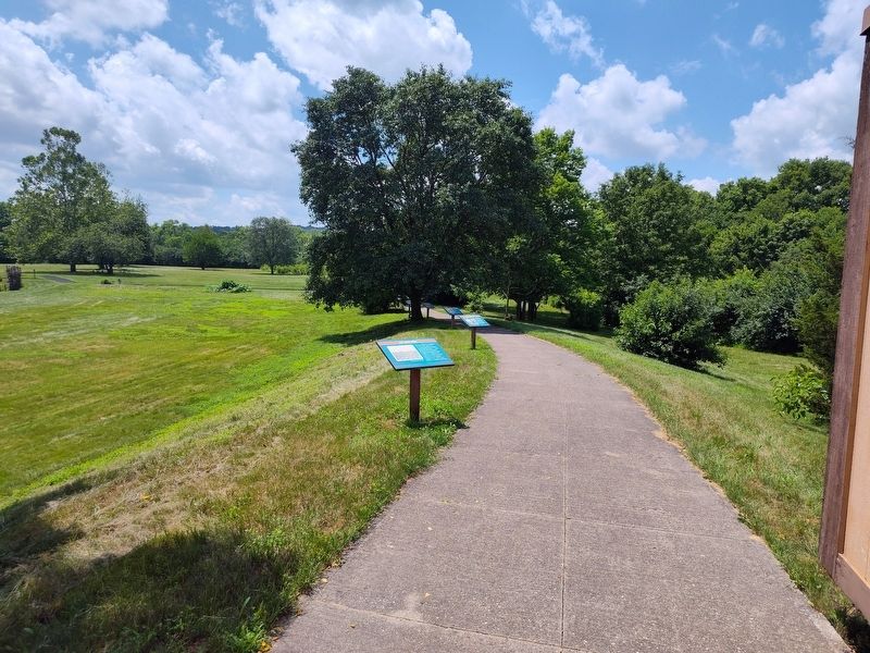
2. SunWatch Indian Village & Archaeological Park
Photographed by Craig Doda, June 28, 2025
3. SunWatch Indian Village & Archaeological Park
Credits. This page was last revised on July 9, 2025. It was originally submitted on July 3, 2025, by Craig Doda of Napoleon, Ohio. This page has been viewed 99 times since then and 12 times this year. Photos: 1, 2, 3. submitted on July 3, 2025, by Craig Doda of Napoleon, Ohio. • Andrew Ruppenstein was the editor who published this page.
