Webster Station in Dayton in Montgomery County, Ohio — The American Midwest (Great Lakes)
Patterson Commons, 2000s: Open Space Development
| — | Patterson Boulevard Canal Parkway | — |

Photographed by Craig Doda, June 28, 2025
1. Patterson Commons, 2000s: Open Space Development Marker
Claiming Patterson Commons as a public space in Dayton, a visualization of the plan from the early 1980s.
Topics. This historical marker is listed in these topic lists: Parks & Recreational Areas • Waterways & Vessels.
Location. 39° 45.472′ N, 84° 11.251′ W. Marker is in Dayton, Ohio, in Montgomery County. It is in Webster Station. It is at the intersection of South Patterson Boulevard and North Saint Clair Street, on the right when traveling south on South Patterson Boulevard. Touch for map. Marker is at or near this postal address: 100 N St Clair St, Dayton OH 45402, United States of America. Touch for directions.

Regionally, this marker is in the Miami Valley. It is also in the American Midwest and in the Corn Belt. Globally, it is in North America, the Western Hemisphere, the Western World, and the Anglosphere. Historically, it finds itself in what was once the Haudenosaunee
this page online
Other nearby markers. At least 8 other markers are within walking distance of this marker: Fluid Dynamics (here, next to this marker); Patterson Commons, 1980s-1990s: Claiming Public Space (here, next to this marker); Patterson Commons, 1890s: The Miami Erie Canal Era (here, next to this marker); Patterson Commons, 1970s: Space for Automobiles (here, next to this marker); Patterson Commons, 1930s: Patterson Boulevard Construction (here, next to this marker); Patterson Commons - The Evolution Of An Urban Space (here, next to this marker); Patterson Commons: The 1913 Flood and Aftermath (here, next to this marker); Oregon: Dayton's First Historic District (within shouting distance of this marker). Touch for a list and map of all markers in Dayton.
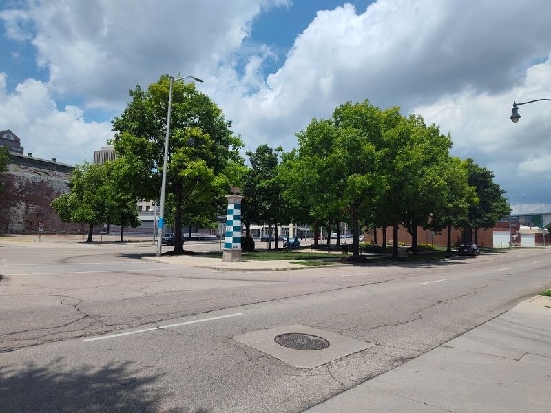
Photographed by Craig Doda, June 28, 2025
2. Patterson Commons, 2000s: Open Space Development Marker
Credits. This page was last revised on July 25, 2025. It was originally submitted on July 4, 2025, by Craig Doda of Napoleon, Ohio. This page has been viewed 92 times since then and 12 times this year. Photos: 1, 2. submitted on July 4, 2025, by Craig Doda of Napoleon, Ohio. • Bill Pfingsten was the editor who published this page.
