
Druid Hills in Atlanta in DeKalb County, Georgia — The American South (South Atlantic)
Deepdene Park
West Entrance
Photographed by Darren Jefferson Clay, June 22, 2025
1. Deepdene Park Marker
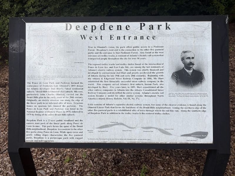
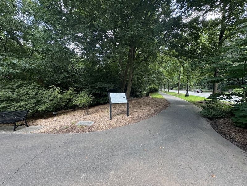
Deepdene Park is a 22-acre public woodland and the eastern most park of the linear park along Ponce de Leon Avenue. This park forms the spine of the Druid Hills neighborhood. Deepdene is a contrast to the other five parks along Ponce de Leon. While open vistas and gently rolling slopes characterize the five pastoral parks, Deepdene is a picturesque park with rugged terrain and lush-vegetation.
True to Olmsted's vision, the park offers public access to a Piedmont Forest. Deepdene's west end is the
this page online
The exposed trolley tracks and trolley shelter found at the intersection of Ponce de Leon Ave. and East Lake Rd., are among the last remnants of Atlanta's electric railway system. This system was chiefly financed and developed by entrepreneur Joel Hurt and greatly accelerated the growth of Atlanta during the late 19th and early 20th centuries. Beginning with the Atlanta & Edgewood Street Railway Company in 1886, Mr. Hurt established the first financially successful street railway company in the world. This company served Atlanta's first suburb, Inman Park, also developed by Hurt. Five years later, in 1891, Hurt consolidated all the other railway companies in Atlanta into the Atlanta Consolidated Street Railway Company and electrified the entire system. Atlanta's electric rail system became a model for other similar systems throughout North America (Atlanta History Bulletin, Vol. IX, No. 37).
Little
Photographed by Darren Jefferson Clay, June 22, 2025
2. Deepdene Park Marker
(caption) Joel Hurt, circa 1004, from an engraving by LG. Williams & Sons, Now Jersey, during his presidency of the American Street Railway Association (Courtesy the Atlanta History Bulletin Vol. IX, No. 377)
Topics. This historical marker is listed in these topic lists: Parks & Recreational Areas • Railroads & Streetcars. A significant historical year for this entry is 1893.
Location. 33° 46.31′ N, 84° 19.471′ W. Marker is in Atlanta, Georgia, in DeKalb County. It is in Druid Hills. It can be reached from the intersection of Ponce De Leon Ave NE (U.S. 278) and North Ponce De Leon Ave NE, on the right when traveling west. Touch for map. Marker is in this post office area: Atlanta GA 30307, United States of America. Touch for directions.

Regionally, this marker is in Georgia’s Piedmont. It is also in the American South and specifically in the Deep South. Globally, it is in North America, the Western Hemisphere, the Western World, and the Anglosphere. Historically, it finds itself in what was once the territory of the Mississippian Culture, one of the original Thirteen Colonies, one of the Confederate States of America, and the Antebellum South.
Other nearby markers. At least 8 other markers are within 2 miles of this marker, measured as the crow flies: Georgia Railway and Power Company Trolley Waiting Station (approx. 0.2 miles away); Lophorhothon atopus (approx. ¼ mile away); a different marker also named Deepdene Park (approx. 0.4 miles away); Sweeny's Division Encamped (approx. 0.9 miles away); Lynching in America / The Lynching of Porter Turner (approx. one mile away); Alpha Delta Pi (approx. one mile away); The Swanton House (approx. 1.1 miles away); Mary Gay House (approx. 1.1 miles away). Touch for a list and map of all markers in Atlanta.
Credits. This page was last revised on July 7, 2025. It was originally submitted on July 5, 2025, by Darren Jefferson Clay of Duluth, Georgia. This page has been viewed 185 times since then and 32 times this year. Photos: 1, 2. submitted on July 5, 2025, by Darren Jefferson Clay of Duluth, Georgia. • Bernard Fisher was the editor who published this page.
