Ogallala in Keith County, Nebraska — The American Midwest (Upper Plains)
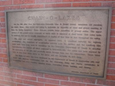
Chain-O-Lakes

Photographed by Susan Van Den Bosch, February 24, 2025
1. Chain-O-Lakes Marker
For the 215 miles from the Nebraska-Colorado Line to Grand Island. Interstate 80 parallels the Platte River. This broad flat valley is underlain by deposits of sand and gravel washing in from the Rock Mountains. These deposits contain large quantities of ground water. The upper surface of this ground water reservoir or water table is exposed at river level. This water table is relatively flat and is usually encountered at depths of less than 10 feet throughout the valley.
The sand and gravel aggregate, as exposed here is excellent material for highway construction. The abundance of construction material near the surface and the relatively high water table have been used to advantage by the Nebraska Department of Roads in creating approximately 100 borrow pit lakes adjacent to Interstate 80. The water has been exposed by the excavation of the pits and gradually moves through them and the subsurface. These lakes vary in size from three acres to 50 acres and are normally 15 feet deep.
The Chain–O–Lakes has been developed by the Department of Roads in conjunction with rest areas and highway landscaping and by the Nebraska
this page online
Erected by Nebraska Department of Roads.
Topics. This historical marker is listed in these topic lists: Roads & Vehicles • Waterways & Vessels.
Location. 41° 5.959′ N, 101° 46.784′ W. Marker is in Ogallala, Nebraska, in Keith County. It can be reached from Interstate 80 west of Big Mac Road (State Highway 61), on the right when traveling east. This marker is located at the Ogallala Rest Stop on Interstate 80. The rest stop is on the south side of the highway while heading east. Touch for map. Marker is in this post office area: Ogallala NE 69153, United States of America. Touch for directions.

Regionally, this marker is in Central Nebraska. It is also in the American Midwest, in the Corn Belt, on the prairies, on the Great Plains, and specifically on the High Plains. Globally, it is in North America, the Western Hemisphere, the Western World, and the Anglosphere. Historically, it finds itself in what was once the Louisiana Purchase.
Other nearby markers. At
Photographed by Barry Swackhamer, December 12, 2011
2. Chain – O – Lakes Marker
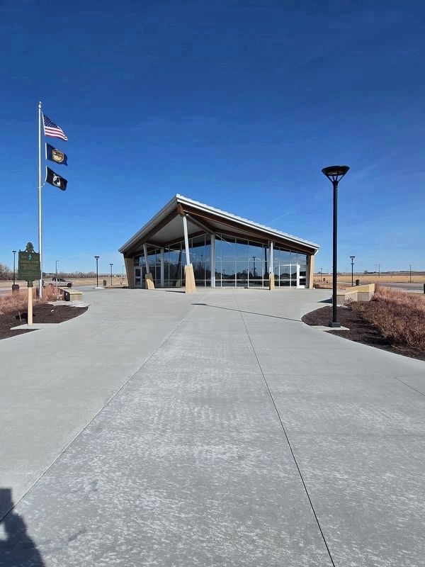
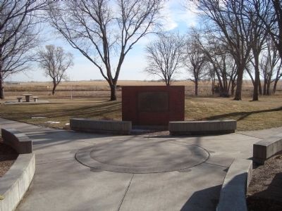
More about this marker. This marker was previously located at 41° 6.411′ N, 101° 45.398′ W. The old Ogallala Eastbound Rest Area was replaced by the new Ogallala Welcome Center Purple Heart Eastbound Rest Area at Mile Marker 124.
Photographed by Susan Van Den Bosch, February 24, 2025
3. Chain-O-Lakes Marker
The marker is on the right in this photo. It is mounted on the concrete platform just behind the light post.
Photographed by Barry Swackhamer, December 12, 2011
4. Chain – O – Lakes Marker
Credits. This page was last revised on July 12, 2025. It was originally submitted on January 2, 2012, by Barry Swackhamer of Brentwood, California. This page has been viewed 1,115 times since then and 82 times this year. Last updated on July 6, 2025, by Susan Van Den Bosch of Almond, Wisconsin. Photos: 1. submitted on July 9, 2025, by Susan Van Den Bosch of Almond, Wisconsin. 2. submitted on January 2, 2012, by Barry Swackhamer of Brentwood, California. 3. submitted on July 9, 2025, by Susan Van Den Bosch of Almond, Wisconsin. 4. submitted on January 2, 2012, by Barry Swackhamer of Brentwood, California. • Devry Becker Jones was the editor who published this page.
