
Ogden in Weber County, Utah — The American Mountains (Southwest)
Oldest Neighborhood
⎯⎯⎯
Bingham Fort
⎯⎯⎯
History in Plain Sight
Photographed by Jeremy Snow, June 21, 2025
1. Oldest Neighborhood Marker
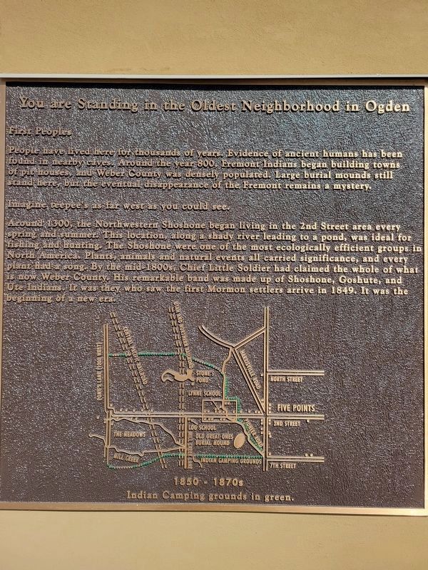
You are Standing in the Oldest Neighborhood in Ogden
First Peoples
People have lived here for thousands of years. Evidence of ancient humans has been found in nearby caves. Around the year 800, Fremont Indians began building towns of pit houses, and Weber County was densely populated. Large burial mounds still stand here, but the eventual disappearance of the Fremont remains a mystery.
Imagine, teepee's as far west as you could see.
Around 1300, the Northwestern Shoshone began living in the 2nd Street area every spring and summer. This location, along a shady river leading to a pond, was ideal for fishing and hunting. The Shoshone were one of the most ecologically efficient groups in North America. Plants, animals and natural events all carried significance, and every plant had a song. By the mid-1800s, Chief Little Soldier had claimed the whole of what now Weber County. His remarkable band was made up of Shoshone, Goshute, and Ute Indians. It was they who saw the first Mormon settlers arrive in 1849. It was the beginning of a new era.
Bingham Fort
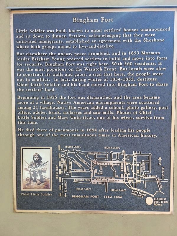
Little Soldier was bold, known to enter settlers' houses unannounced
this page online
But elsewhere the uneasy peace crumbled, and in 1853 Mormon leader Brigham Young ordered settlers to build and move into forts for security. Bingham Fort was right here. With 560 residents, it was the most populous on the Wasatch Front. But locals were slow to construct its walls and gates; a sign that here, the people were not in conflict. In fact, during winter of 1854-1855, destitute Chief Little Soldier and his band moved into Bingham Fort to share the settlers' food.
Beginning in 1855 the fort was dismantled, and the area became more of a village. Native American encampments were scattered among 21 farmhouses. The years added a school, photo gallery, post office, adobe, brick, molasses and saw mills. Photos of Chief Little Soldier and Mary Unin-tivoo, one of his wives, survive from this time.
He died there of pneumonia in 1884 after leading his people through one of the most tumultuous times in American history.
History in Plain Sight
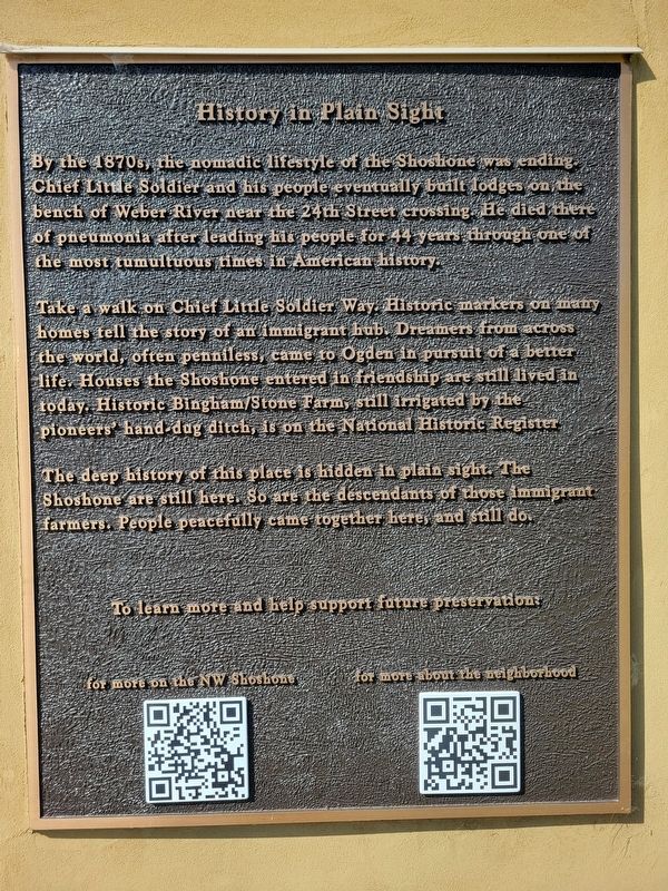
By the 1870s,
Photographed by Jeremy Snow, June 21, 2025
2. Bingham Fort Marker
Take a walk on Chief Little Soldier Way. Historic markers on many homes tell the story of an immigrant hub. Dreamers from across the world, often penniless, came to Ogden in pursuit of a better life. Houses the Shoshone entered in friendship are still lived in today. Historic Bingham/Stone Farm, still irrigated by the pioneers' hand-dug ditch, is on the National Historic Register.
The deep history of this place is hidden in plain sight. The Shoshone are still here. So are the descendants of those immigrant farmers. People peacefully came together here, and still do.
Topics. This historical marker is listed in these topic lists: Forts and Castles • Immigration • Indigenous Peoples and Communities • Settlements & Settlers. A significant historical year for this entry is 1300.
Location. 41° 15.568′ N, 111° 58.688′ W. Marker
Photographed by Jeremy Snow, June 21, 2025
3. History in Plain Sight Marker

Regionally, this marker is in the Wasatch Front and in Greater Salt Lake. It is also in the American Mountain West and on the Colorado Plateau. Globally, it is in North America, the Rocky Mountains, the Western Hemisphere, the Western World, and the Anglosphere. Historically, it finds itself in what was once New Spain and also Mexico’s Alta California.
Other nearby markers. At least 8 other markers are within 2 miles of this marker, measured as the crow flies: Settlement of Lynne (approx. ¼ mile away); Bingham's Fort (approx. 0.3 miles away); Levi & Josephine Taylor House (approx. 1.4 miles away); Chief Terikee (approx. 1½ miles away); Defense Depot Ogden (approx. 1.7 miles away); J. Willard Marriott Birthplace (approx. 1.7 miles away); Marriott School (approx. 1.9 miles away); Martin Henderson Harris (approx. 1.9 miles away). Touch for a list and map of
Photographed by Jeremy Snow, June 21, 2025
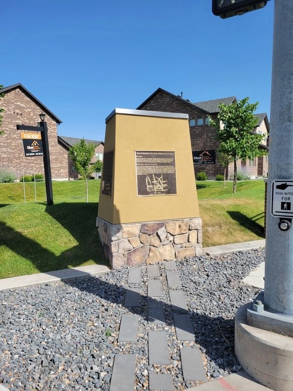
4. Oldest Neighborhood / Bingham Fort / History in Plain Sight Marker
Credits. This page was last revised on July 7, 2025. It was originally submitted on July 6, 2025, by Jeremy Snow of Cedar City, Utah. This page has been viewed 125 times since then and 21 times this year. Photos: 1, 2, 3, 4. submitted on July 6, 2025, by Jeremy Snow of Cedar City, Utah. • Andrew Ruppenstein was the editor who published this page.
