Mille Lacs Kathio State Park near Onamia in Mille Lacs County, Minnesota — The American Midwest (Upper Plains)
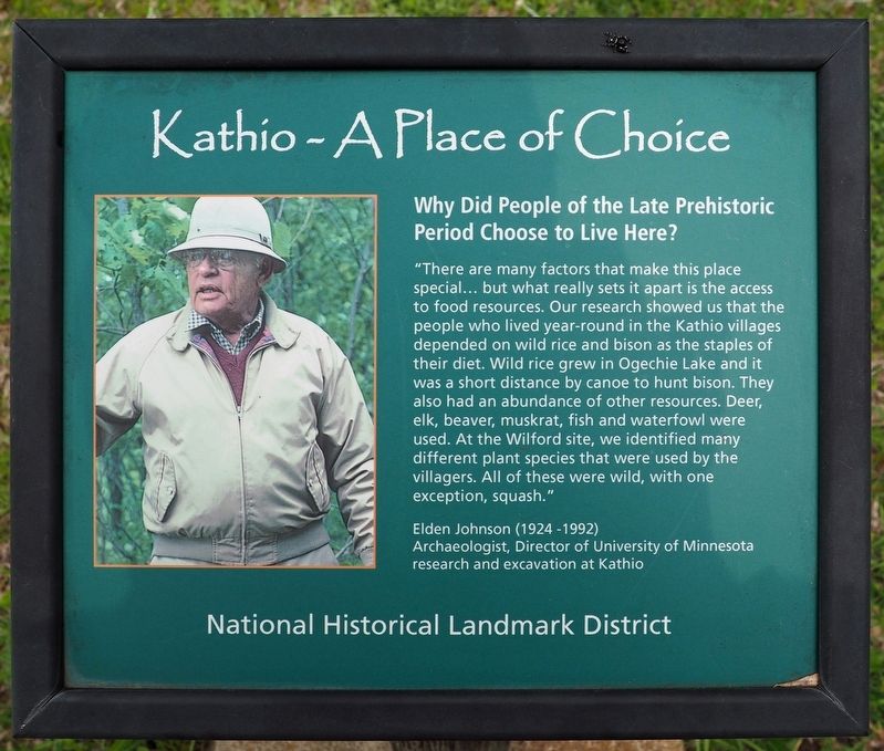
Why Did People of the Late Prehistoric Period Choose to Live Here?
Kathio – A Place of Choice
| — | National Historical Landmark District | — |
Photographed by McGhiever, May 29, 2025
1. Why Did People of the Late Prehistoric Period Choose to Live Here? Marker
"There are many factors that make this place special… but what really sets it apart is the access to food resources. Our research showed us that the people who lived year-round in the Kathio villages depended on wild rice and bison as the staples of their diet. Wild rice grew in Ogechie Lake and it was a short distance by canoe to hunt bison. They also had an abundance of other resources. Deer, elk, beaver, muskrat, fish and waterfowl were used. At the Wilford site, we identified many different plant species that were used by the villagers. All of these were wild, with one exception, squash."
Elden Johnson (1924-1992)
Archaeologist, Director of University of Minnesota research and excavation at Kathio
Erected by Minnesota Department of Natural Resources.
Topics. This historical marker is listed in these topic lists: Anthropology & Archaeology • Indigenous Peoples and Communities. A significant historical year for this entry is 1600.
Location. 46° 9.012′ N, 93° 46.102′ W. Marker is near Onamia, Minnesota, in Mille Lacs County. It is in Mille Lacs Kathio State Park. It can be reached from the road to Ogechie
this page online

Regionally, this marker is in Central Minnesota. It is also in the American Midwest and in the Corn Belt. Globally, it is in North America, the Western Hemisphere, the Western World, and the Anglosphere. Historically, it finds itself in what was once Rupert’s Land, the territory of the Mississippian Culture, and the Northwest Territory.
Other nearby markers. At least 8 other markers are within walking distance of this marker: The Kathio Villages (here, next to this marker); The Wilford Site (a few steps from this marker); Looking Beyond the Objects (a few steps from this marker); Early Homestead (within shouting distance of this marker); a different marker also named The Wilford Site (within shouting distance of this marker); Reading the Cultural Landscape (about 300 feet away, measured in a direct line); Family Homesteads (about 300 feet away); The Forest through Time (about 500 feet away). Touch for a list and map of
Photographed by McGhiever, May 29, 2025
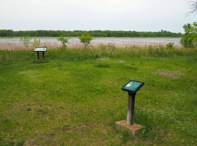
2. This marker and The Kathio Villages marker near the shore of Ogechie Lake
Credits. This page was last revised on July 9, 2025. It was originally submitted on July 9, 2025, by McGhiever of Minneapolis, Minnesota. This page has been viewed 169 times since then and 25 times this year. Photos: 1, 2. submitted on July 9, 2025, by McGhiever of Minneapolis, Minnesota.
