New York Botanical Garden in the Bronx in Bronx County, New York — The American Northeast (Mid-Atlantic)
Thain Family Forest
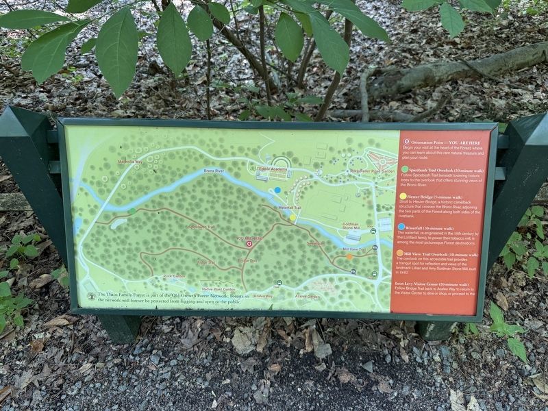
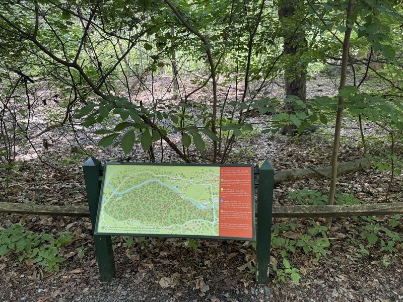
The Thain Family Forest is part of the Old-Growth Forest Network. Forests in the network will forever be protected from logging and open to the public.
⚪ Orientation Point—You are here
Begin your visit at the heart of the Forest, where you can learn about this rare natural treasure and plan your route.
🟢 Spicebush Trail Overlook (10-minute walk)
Follow Spicebush Trail beneath towering historic trees to the overlook that offers stunning views of the Bronx River.
🟡 Hester Bridge (5-minute walk)
Stroll to Hester Bridge, a historic camelback structure that crosses the Bronx River, adjoining the two parts of the Forest along both sides of the riverbank.
🔵 Waterfall (10-minute walk)
The waterall, re-engineered in the 19th century by the Lorillard family to power their tobacco mill, is among the most picturesque Forest destinations.
🟠 Mill View Trail Overlook (10-minute walk)
The overlook on this new, accessible trail provides a tranquil spot for reflection and views the landmark Lillian and Amy Goldman Stone Mill, built in 1840.
Leon Levy Visitor Center (10-minute walk)
Follow
this page online
Erected by New York Botanical Garden.
Topics. This historical marker is listed in these topic lists: Horticulture & Forestry • Industry & Commerce • Parks & Recreational Areas • Waterways & Vessels. A significant historical year for this entry is 1840.
Location. 40° 51.748′ N, 73° 52.598′ W. Marker is in Bronx, New York, in Bronx County. It is in New York Botanical Garden. It is at the intersection of Spicebush Trail and Bridge Trail, on the right when traveling north on Spicebush Trail. Touch for map. Marker is at or near this postal address: 81 Spicebush Trail, Bronx NY 10458, United States of America. Touch for directions.

Regionally, this marker is in New York City. It is also in the American Northeast, in the Mid-Atlantic, and on the Eastern Seaboard. Globally, it is in the North Atlantic Region, North America, the Western Hemisphere, the Western World, and the Anglosphere. Historically, it finds itself in what was once New Netherland and also one of the original Thirteen Colonies.
Other nearby markers. At
Credits. This page was last revised on July 10, 2025. It was originally submitted on July 10, 2025, by Devry Becker Jones of Washington, District of Columbia. This page has been viewed 92 times since then and 22 times this year. Photos: 1, 2. submitted on July 10, 2025, by Devry Becker Jones of Washington, District of Columbia.
