Manistique in Schoolcraft County, Michigan — The American Midwest (Great Lakes)
Near-Shore Sawdust and Wood Chip Deposits
A Legacy of the Past
Photographed by Mark Parker, June 25, 2025
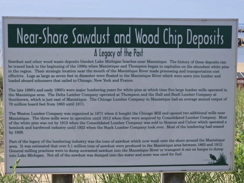
1. Near-Shore Sawdust and Wood Chip Deposits Marker
Sawdust and other wood waste deposits blanket Lake Michigan beaches near Manistique. The history of these deposits can be traced back to the beginning of the 1890s when Manistique and Thompson began to capitalize on the abundant white pine in the region. Their strategic location near the mouth of the Manistique River made processing and transportation cost effective. Logs as large as seven feet in diameter were floated in the Manistique River which were sawn into lumber and loaded aboard schooners that sailed to Chicago, New York and France.
The late 1800's and early 1900's were major lumbering years for white pine at which time five large lumber mills operated in the Manistique area. The Delta Lumber Company operated at Thompson and the Hall and Buell Lumber Company at Southtown, which is just east of Manistique. The Chicago Lumber Company in Manistique had an average annual output of 70 million board feet from 1863 until 1871.
The Weston Lumber Company was organized in 1871 when it bought the Chicago Mill and opened two additional mills near Manistique. The three mills were in operation until 1912 when they
this page online
Part of the legacy of the lumbering industry was the tons of sawdust which now wash onto the shore around the Manistique area. It was estimated that over 5.1 million tons of sawdust were produced in the Manistique area between 1863 and 1912. General milling practices were to dump unwanted sawdust into the Manistique River or transport it out on barges to dump into Lake Michigan. Not all of the sawdust was dumped into the water and some was used for fuel.
Topics. This historical marker is listed in these topic lists: Environment • Horticulture & Forestry • Waterways & Vessels. A significant historical year for this entry is 1863.
Location. 45° 56.932′ N, 86° 14.578′ W. Marker is in Manistique, Michigan, in Schoolcraft County. It is on West Lakeshore Drive. Touch for map. Marker is at or near this postal address: 1254 W Lakeshore Dr,
Photographed by Mark Parker, June 25, 2025
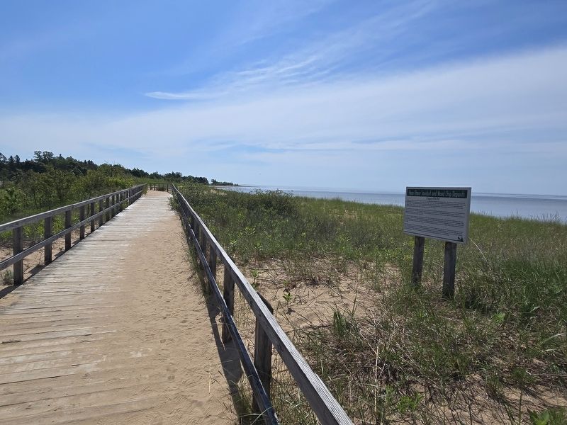
2. Near-Shore Sawdust and Wood Chip Deposits Marker along the boardwalk at Lakeside Park

Regionally, this marker is on Michigan’s Upper Peninsula. It is also in the American Midwest. Globally, it is in North America, in the Great North Woods, on the Great Lakes, in the Western Hemisphere, in the Western World, and in the Anglosphere. Historically, it finds itself in what was once the Northwest Territory.
Other nearby markers. At least 8 other markers are within walking distance of this marker: The Manistique Lighthouse (within shouting distance of this marker); Manistique Boardwalk (approx. 0.3 miles away); Carl D. Bradley (approx. 0.4 miles away); Living Memorial to the Soldiers and Sailors (approx. 0.6 miles away); Schoolcraft County World War Honor Roll (approx. 0.6 miles away); Schoolcraft County Veterans Memorial (approx. 0.6 miles away); Manistique Water Tower (approx. 0.7 miles away); a different marker also named Manistique Boardwalk (approx. 0.9 miles away). Touch for a list and map of all markers in Manistique.
Credits. This page was last revised on July 11, 2025. It was originally submitted on July 11, 2025, by Mark Parker of Hickory, North Carolina. This page has been viewed 228 times since then and 89 times this year. Photos: 1, 2. submitted on July 11, 2025, by Mark Parker of Hickory, North Carolina. • J. Makali Bruton was the editor who published this page.
