Chester in Chesterfield County, Virginia — The American South (Mid-Atlantic)
Ill-Fated Friendship
Captain John Smith Chesapeake National Historic Trail
| — | National Park Service, U.S. Department of the Interior | — |
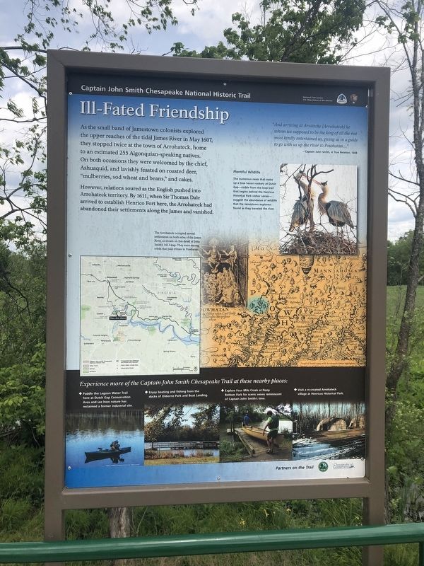
As the small band of Jamestown colonists explored the upper reaches of the tidal James River in May 1607, they stopped twice at the town of Arrohateck, home to an estimated 255 Algonquian-speaking natives. On both occasions they were welcomed by the chief, Ashuaquid, and lavishly feasted on roasted deer, "mulberries, sod wheat and beans," and cakes.
However, relations soured as the English pushed into Arrohateck territory. By 1611, when Sir Thomas Dale arrived to established Henrico Fort there, the Arrohateck had abandoned their settlements along the James and vanished.
"And arriving at Arsatecke [Arrohateck] he whom we supposed to be the king of all the rest most kindly entertained us, giving us in a guide to go with us up the river to Powhatan...."
— Captain John Smith, A True Relation, 1608
[Captions:]
Plentiful Wildlife
The numerous nests that make up a blue heron rookery at Dutch Gap—visible from the loop trail that begins behind the Henricus Historical Park visitor center—suggest the abundance of wildlife that the Jamestown explorers found as they traveled the river.
The Arrohateck occupied several settlements on both sides of the James River, as shown on this detail of John Smith's 1612 map. They were among the tribes that paid tribute to Powhatan.
Erected by National
this page online
Topics and series. This historical marker is listed in these topic lists: Colonial Era • Exploration • Indigenous Peoples and Communities • Settlements & Settlers. In addition, it is included in the Captain John Smith Chesapeake National Historic Trail series list. A significant historical month for this entry is May 1607.
Location. 37° 22.452′ N, 77° 21.955′ W. Marker is in Chester, Virginia, in Chesterfield County. It is on Henricus Park Road 1.4 miles east of Coxendale Road, on the left when traveling east. Touch for map. Marker is at or near this postal address: 421 Coxendale Rd, Chester VA 23836, United States of America. Touch for directions.

Regionally, this marker is in the Piedmont, in Central Virginia, and in the Richmond Metropolitan Area. It is also in the American South, specifically in the Upper South, and on the Eastern Seaboard. Globally, it is in the North Atlantic Region, North America, the Western Hemisphere, the Western World, and the Anglosphere. Historically, it finds itself in what was once the territory of the Mississippian Culture, one of
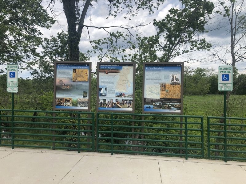
Other nearby markers. At least 8 other markers are within walking distance of this marker: Join the Adventure (here, next to this marker); John Smith Explores the Chesapeake (here, next to this marker); John N. Pastore, D.D.S. (approx. 0.2 miles away); Citie of Henricus (approx. 0.2 miles away); Farrar's Island (approx. 0.2 miles away); 1622 Indian Attack (approx. 0.2 miles away); The Bermuda Hundred Campaign (approx. 0.2 miles away); a different marker also named The Bermuda Hundred Campaign (approx. 0.2 miles away). Touch for a list and map of all markers in Chester.
Credits. This page was last revised on July 16, 2025. It was originally submitted on May 9, 2020, by Devry Becker Jones of Washington, District of Columbia. This page has been viewed 484 times since then and 19 times this year. Last updated on July 14, 2025, by Evan Dwyer of Richmond, Virginia. Photos: 1, 2. submitted on May 9, 2020, by Devry Becker Jones of Washington, District of Columbia.
