Crow Wing State Park in Crow Wing County, Minnesota — The American Midwest (Upper Plains)
Welcome to Main Street, Crow Wing

Photographed by McGhiever, June 28, 2025
1. Welcome to Main Street, Crow Wing Marker
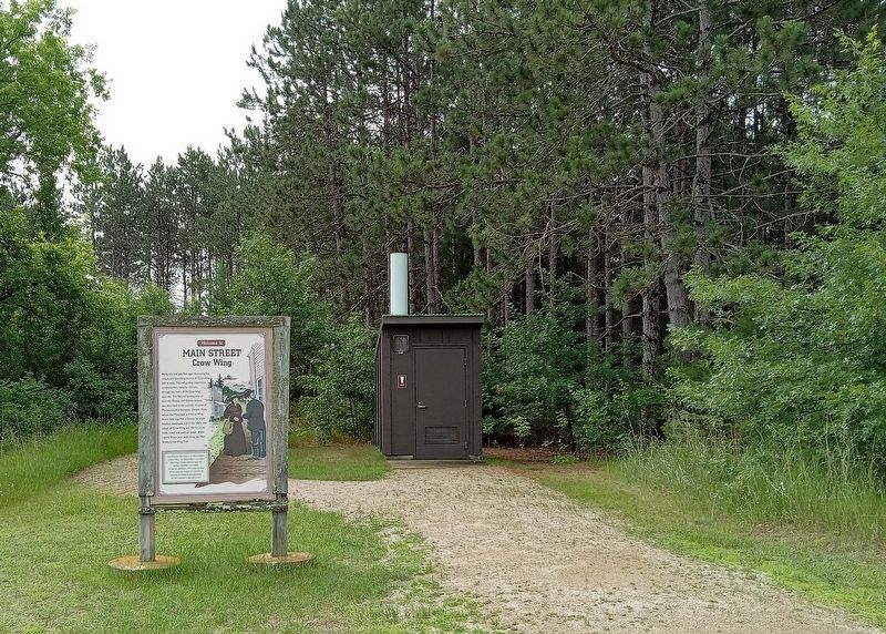
Along this trail you find signs illustrating the unique and fascinating history of Crow Wing and its area. This self-guiding experience continues from here for 1/3 mile, through the heart of Old Crow Wing town site. This favored hunting area of both the Dakota and Ojibwe nations was described in the journals of some of Minnesota's first European visitors. Here, where the Mississippi and Crow Wing Rivers flow together, a famous fur trade location developed, and in the 1860s, the village of Crow Wing was the foremost trade, travel and political center of the region. Enjoy your walk along the Main Street, Crow Wing Trail!
Crow Wing State Park is listed on the National Register of Historic Places. The National Register is the nation's official listing of locations preserved due to their significant contribution to our heritage. The park was established in 1959, through the efforts of local citizens who recognized the importance of preserving this heritage for future generations. This trail is dedicated to those park founders.
Erected by Minnesota Department of Natural Resources.
Topics. This historical marker is listed in these topic lists: Indigenous Peoples and Communities • Industry & Commerce • Parks & Recreational Areas • Settlements & Settlers. A significant historical year for this entry is 1860.
Location. 46° 16.697′ N, 94° 20.29′ W. Marker is in Crow Wing, Minnesota, in Crow Wing County. It is in Crow Wing State Park. It is on the road to the north picnic area. The marker is on the south side of the parking lot at the north picnic area. Touch for map. Marker is at or near this postal address: 3124 State Park Road, Brainerd MN 56401, United States of America. Touch for directions.

Regionally, this marker is in Minnesota’s Northland. It is also in the American Midwest, in
this page online
Other nearby markers. At least 8 other markers are within walking distance of this marker: Bailey House (within shouting distance of this marker); Crow Wing, A Cultural Landscape (within shouting distance of this marker); The Clement H. Beaulieu Mansion (about 300 feet away, measured in a direct line); The Beaulieu House: Removal, Return, Research, Restoration (about 300 feet away); The Clement Beaulieu House (about 300 feet away); Red River Oxcart Trail (about 300 feet away); Commercial District (about 500 feet away); Warehouse (about 500 feet away). Touch for a list and map of all markers in Crow Wing.
Photographed by McGhiever, June 28, 2025
2. Welcome to Main Street, Crow Wing Marker at the north end of the town site trail
Credits. This page was last revised on July 16, 2025. It was originally submitted on July 16, 2025, by McGhiever of Minneapolis, Minnesota. This page has been viewed 89 times since then and 13 times this year. Photos: 1, 2. submitted on July 16, 2025, by McGhiever of Minneapolis, Minnesota.
