Grayling Township in Crawford County, Michigan — The American Midwest (Great Lakes)
Fire and the Forest
| — | Forest Heritage Trail | — |
Photographed by Joel Seewald, July 4, 2025
1. Fire and the Forest Marker
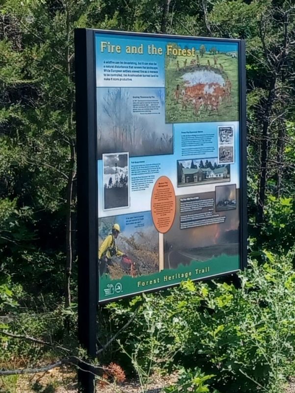
A wildfire can be devastating, but it can also be a natural disturbance that renews the landscape. While European settlers viewed fire as a menace to be controlled, the Anishnaabek burned land to make it more productive.
Grayling Threatened by Fire
In 1917, Grayling barely escaped destruction when a fire raged so close that the village was engulfed in smoke for days....[A]n army of 700 men, including 500 from the nearby national guards' camp, was mobilized along a fire line that stretched seven miles long.
Thomas D. Yutzy, Michigan Conservation, 1938
Full Suppression
Government policy once viewed all wildfires as bad. In 1935, the U.S. Forest Service mandated that all wildfires were to be extinguished by 10 A.M. the day after first report, calling for "fast, energetic, and thorough suppression of all fires in all locations."
During the Great Depression, the Civilian Conservation Corps built lookout towers to spot fires and put them out quickly. This rapid suppression of fire allowed dead wood and natural fuels to accumulate, causing wildfires to become more severe.
Forest Fire Experiment Station
In 1929,
this page online
Types of suppression equipment that have been developed there include fire-line plows and engines with offroad capability. In 2023, the station continued to assist wildfire mitigation efforts across the United States with research and innovation.
Modern Fire Management
Fire science and forestry practices have evolved. In the late 1970s, land managers started to use fire as a tool to help ecosystems thrive through prescribed burning.
Low intensity fires are purposefully set to refresh grasslands and forests, clearing undergrowth and cycling minerals back into the soil. This encourages new plant growth, producing food and cover for wildlife.
Prescribed burns also decrease the threat of catastrophic wildfires by removing dead fuel on the forest floor.
The Four Mile Fire of 2008
There were flames right up to the road with embers shooting onto the road. There was so much smoke you could hardly see the road. It was just like going into heavy fog. The flame was right up to the edge of the freeway, 150-200 yards of fire back off the road and a cloud of smoke that you could see forever.
Morley
Photographed by Joel Seewald, July 4, 2025
2. Fire and the Forest Marker
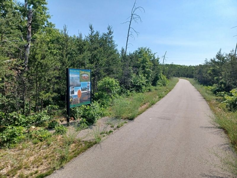
Look around. Do you see evidence of a fire? In April of 2008, a locomotive without a spark arrester started the "Four Mile Fire." The fire burned over 1,300 acres of forest and threatened the city of Grayling.
The dense smoke and flame closed I-75 and M-72, causing evacuations and power outages. The railroad paid over $290,000 to the state in restitution and $3.3 million to the Grayling Game Club, which lost several structures and over 500 acres of their property in the fire. Lower left image caption: If we don't burn it when we can control it, it will burn when we can't.
Rick Anderson National Park Service
Erected 2023 by Michigan History Center and Michigan Department of Natural Resources.
Topics. This historical marker is listed in these topic lists: Disasters • Environment • Horticulture & Forestry • Indigenous Peoples and Communities. A significant historical month for this entry is April 2008.
Location. 44° 37.644′ N, 84° 42.163′ W. Marker is near Grayling, Michigan, in Crawford County. It is in Grayling Township. It can be reached from Industrial Street. Marker is along the Forest Heritage Trail, about 1.75 miles north of the trailhead at Kirtland Community College (4800 West 4 Mile Road at Interstate 75). Touch for map. Marker is in this post office area: Grayling MI 49738, United States of America. Touch for directions.

Regionally, this marker is in Northern Michigan Lower Peninsula. It is also in the American Midwest. Globally, it is in North America, the Great North Woods, the Western Hemisphere, the Western World, and the Anglosphere. Historically, it finds itself in what was once the Northwest Territory.
Other nearby markers. At least 8 other markers are within 3 miles of this marker, measured as the crow flies: The Return of Kirtland's Warbler (approx. one mile away); Charles W. Garfield (approx. 1.6 miles away); Forest Resources (approx. 1.6 miles away); Forest Heritage Trail (approx. 1.6 miles away); Outdoor Recreation (approx. 1.6 miles away); The Railroad (approx. 1.6 miles away); M60 Tank (approx. 2.2 miles away); The 75 MM Pack Howitzer (approx. 2.2 miles away). Touch for a list and map of all markers in Grayling.
Credits. This page was last revised on July 17, 2025. It was originally submitted on July 17, 2025, by Joel Seewald of Madison Heights, Michigan. This page has been viewed 197 times since then and 60 times this year. Photos: 1, 2. submitted on July 17, 2025, by Joel Seewald of Madison Heights, Michigan.
Editor’s want-list for this marker. Better photo of the marker itself. • Can you help?
