
Fort Erie in Niagara Region, Ontario — Central Canada (North America)
The First Fort Erie
Photographed by Kevin Westell, July 18, 2025
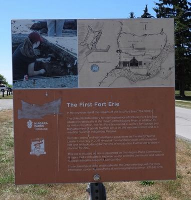
1. The First Fort Erie - Marker
The oldest British military fort in the province of Ontario, Fort Erie was situated strategically at the mouth of the Niagara River. In addition to its military function, the first Fort Erie served as a place for storage and transshipment of goods to other posts on the western frontier, and as a meeting place for Indigenous Peoples.
Remote sensing and archaeological excavation on the site by Wilfrid Laurier University in 2019 revealed the founding walls of the original fort and artifacts dating to the time of occupation. Further excavation is planned for 2021.
This site is situated on lands stewarded by the Niagara Parks Commission. Niagara Parks' mandate is to preserve and promote the natural and cultural heritage along the Niagara River corridor.
The archaeological site is protected under the Ontario Heritage Act. For more information, contact Niagara Parks at [email protected] or 1.877.642.7275.
Erected by Niagara Parks Heritage.
Topics. This historical marker is listed in these topic lists: Anthropology & Archaeology
this page online
Location. 42° 53.598′ N, 78° 55.345′ W. Marker is in Fort Erie, Ontario, in Niagara Region. It is on Lakeshore Road, on the right when traveling north. Touch for map. Marker is at or near this postal address: 394 Lakeshore Road, Fort Erie ON L2A 1B3, Canada. Touch for directions.

Regionally, this marker is on Ontario’s Golden Horseshoe and in Niagara Canada. It is also in Central Canada. Globally, it is in North America, on the Great Lakes, in the Western Hemisphere, in the Western World, and in the Anglosphere. Historically, it finds itself in what was once a British colony, the Viceroyalty of New France, the Haudenosaunee (Iroquois) Confederacy, and Rupert’s Land.
Other nearby markers. At least 8 other markers are within 2 kilometers of this marker, measured as the crow flies: Capture of the "Ohio" and "Somers" (about 90 meters away, measured in a direct line); Fort Erie (about 120 meters away); Fort Erie, Pro Patria Mori Cairn (about 120 meters away); Niagara's Freedom Trail - The Crossing (approx. one kilometer
Photographed by Kevin Westell, July 18, 2025
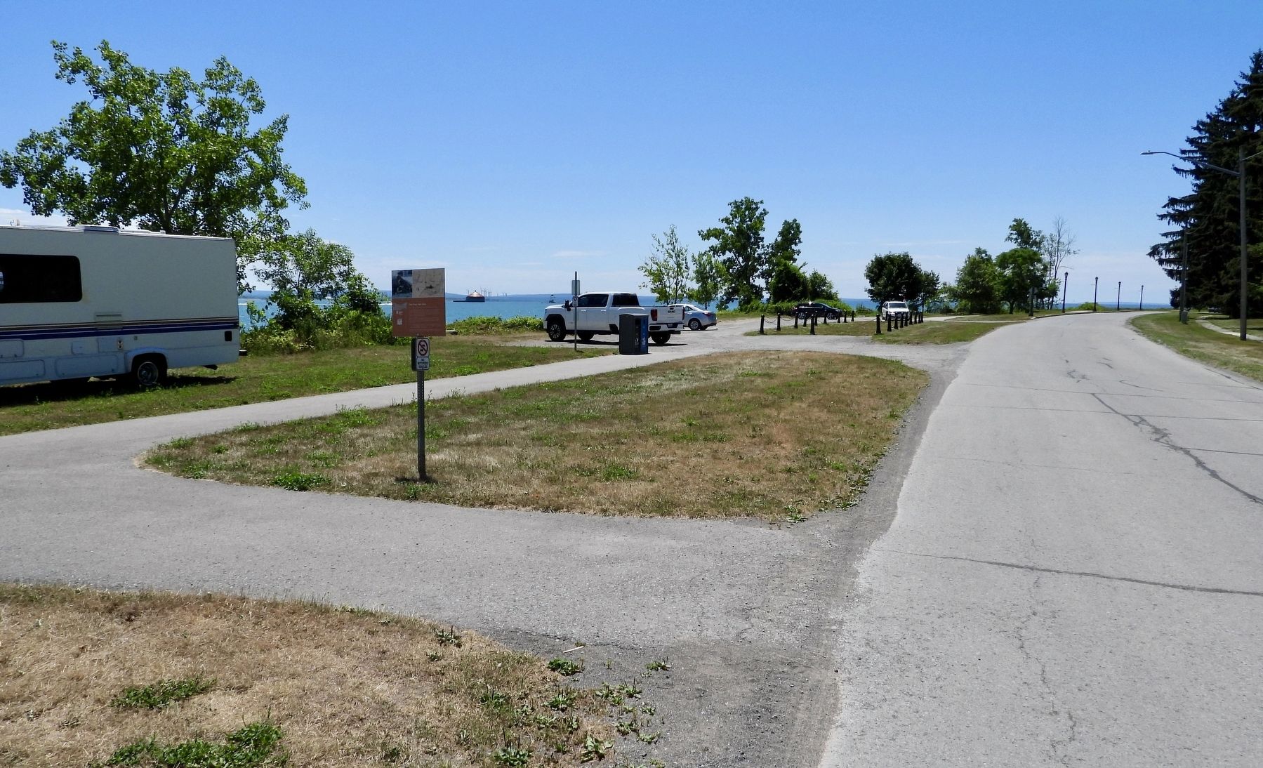
2. The First Fort Erie - Marker in context
Credits. This page was last revised on July 21, 2025. It was originally submitted on July 19, 2025, by Kevin Westell of St. Catharines, Ontario. This page has been viewed 94 times since then and 17 times this year. Photos: 1, 2. submitted on July 19, 2025, by Kevin Westell of St. Catharines, Ontario. • Andrew Ruppenstein was the editor who published this page.
