Fort Erie in Niagara Region, Ontario — Central Canada (North America)
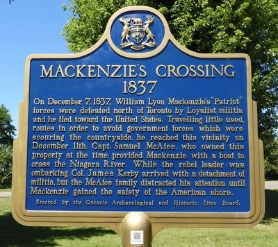
Mackenzie's Crossing 1837
Photographed by Kevin Westell, July 18, 2025
1. Mackenzie's Crossing 1837 - Marker
Erected by The Ontario Archaeological and Historic Sites Board.
Topics and series. This historical marker is listed in these topic lists: Colonial Era • Wars, US Indian. In addition, it is included in the Canada, Ontario Heritage Trust series list. A significant historical date for this entry is December 11, 1837.
Location. 42° 56.929′ N, 78° 56.706′ W. Marker is in Fort Erie, Ontario, in Niagara Region. It is at the intersection of Thompson Road and Niagara River Parkway on Thompson Road. Touch for map. Marker is
this page online

Regionally, this marker is on the Golden Horseshoe and in Niagara Canada. It is also in Central Canada. Globally, it is in North America, on the Great Lakes, in the Western Hemisphere, in the Western World, and in the Anglosphere. Historically, it finds itself in what was once a British colony, the Viceroyalty of New France, the Haudenosaunee (Iroquois) Confederacy, and Rupert’s Land.
Other nearby markers. At least 8 other markers are within walking distance of this marker: McAffee Cemetery (about 180 meters away, measured in a direct line); Millstone from Joseph Well's Grist Mill (1870's - 1890's) (about 210 meters away); Island Life (approx. 1.3 kilometers away in the U.S.); Strawberry Island (approx. 1.3 kilometers away in the U.S.); Did You Ever Wonder What It Takes to Restore an Island? (approx. 1.3 kilometers away in the U.S.); a different marker also named Strawberry Island (approx. 1.3 kilometers away in the U.S.); Recovery (approx. 1.3 kilometers away in the U.S.); Management (approx. 1.3 kilometers away in the U.S.). Touch for a list and map
Photographed by Kevin Westell, July 18, 2025
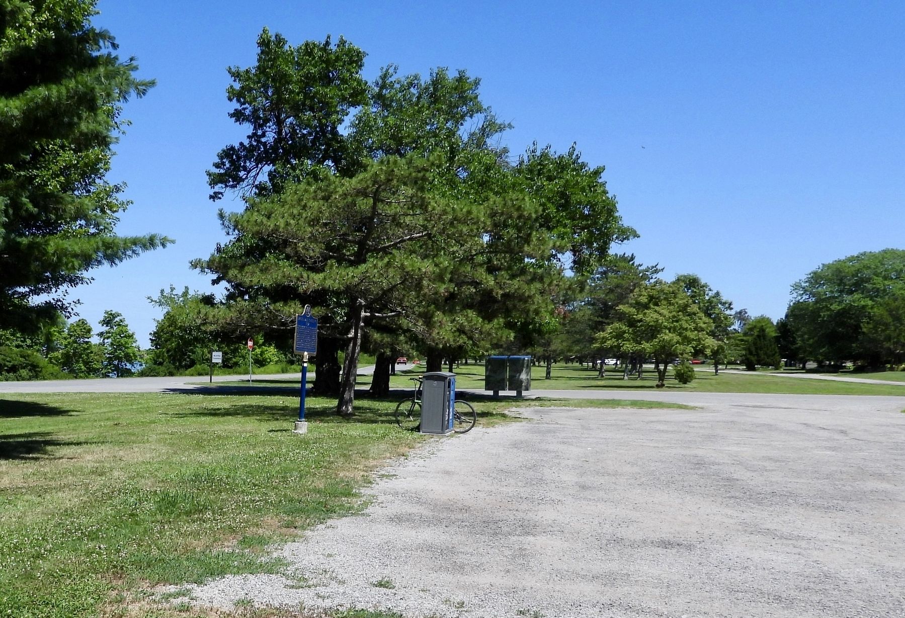
2. Mackenzie's Crossing 1837 - Marker in context
Photo faces east. The marker is a plaque on a post, adjacent to a parking lot, but visible from the Niagara River Parkway (left) and the Trans Canada trail (distant right).
Credits. This page was last revised on July 21, 2025. It was originally submitted on July 19, 2025, by Kevin Westell of St. Catharines, Ontario. This page has been viewed 107 times since then and 29 times this year. Photos: 1, 2. submitted on July 19, 2025, by Kevin Westell of St. Catharines, Ontario. • Andrew Ruppenstein was the editor who published this page.
