Wawatam Township in Mackinaw City in Cheboygan County, Michigan — The American Midwest (Great Lakes)
From Montreal to Michilimackinac
Photographed by Bill Coughlin, July 13, 2025
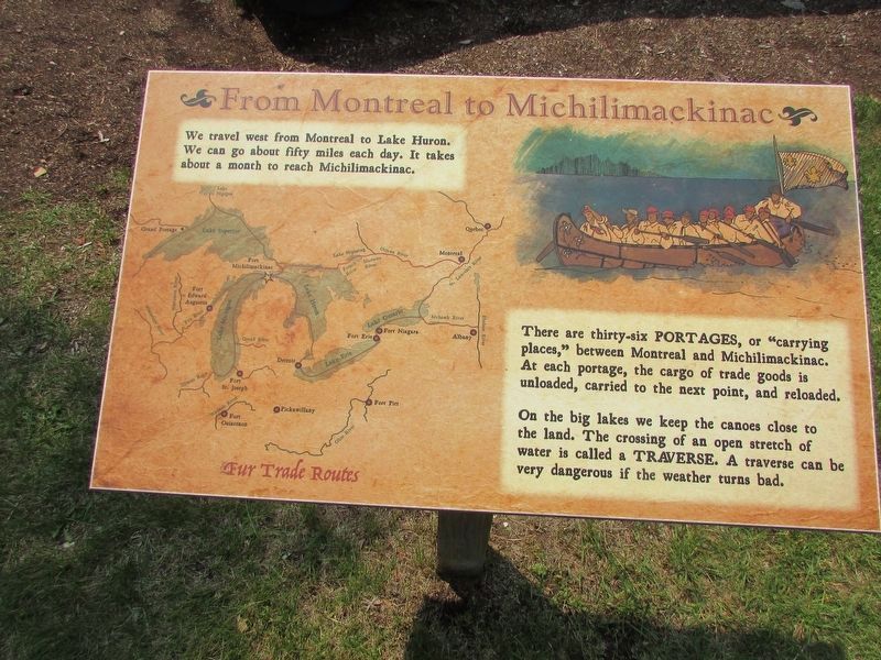
1. From Montreal to Michilimackinac Marker
We (the Voyageurs) travel west from Montreal to Lake Huron. We can go about fifty miles each day. It takes about a month to reach Michilimackinac.
There are thirty-six PORTAGES or “carrying places,” between Montreal and Michilimackinac. At each portage, the cargo of trade goods is unloaded, carried to the next point, and reloaded.
On the big lakes we keep the canoes close to the land. The crossing of an open stretch of water is called a TRAVERSE. A traverse can be very dangerous if the weather turns bad.
Topics. This historical marker is listed in these topic lists: Colonial Era • Waterways & Vessels.
Location. 45° 47.228′ N, 84° 44.023′ W. Marker is in Mackinaw City, Michigan, in Cheboygan County. It is in Wawatam Township. It can be reached from Straits Avenue. Touch for map. Marker is at or near this postal address: 101 W Straits Avenue, Mackinaw City MI 49701, United States of America. Touch for directions.

Regionally, this marker is in Northern Michigan Lower Peninsula, on the Straits of Mackinac, and in one of the Lake Huron Shore counties. It is also in the
this page online
Other nearby markers. At least 8 other markers are within walking distance of this marker: Canoes (here, next to this marker); Fur Trade Routes (a few steps from this marker); The Community Outside the Walls: Suburbs of Michilimackinac (within shouting distance of this marker); Major Arent Schuyler DePeyster - 1736-1822 (about 300 feet away, measured in a direct line); Revolutionary Times (about 400 feet away); Michigan's First Jewish Settler (about 400 feet away); Crossroads of the Fur Trade (about 400 feet away); Flags of Michilimackinac (about 400 feet away). Touch for a list and map of all markers in Mackinaw City.
More about this marker. The upper right of the marker contains a picture of some Voyageurs in a canoe.
The left side of the marker includes a map of the Great Lakes region showing various Fur Trade Routes.
Regarding From Montreal to Michilimackinac. Marker is
Photographed by Bill Coughlin, July 13, 2025
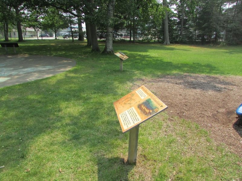
2. From Montreal to Michilimackinac Marker
Photographed by Bill Coughlin, July 13, 2025
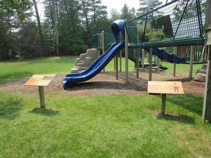
3. Markers at Colonial Michilimackinac
There are several markers at this location. The From Montreal to Michilimackinac marker is seen here on the left.

Photographed by Bill Coughlin, July 13, 2025
4. The Voyageur Marker
This marker is nearby.
Credits. This page was last revised on July 19, 2025. It was originally submitted on July 19, 2025, by Bill Coughlin of Woodland Park, New Jersey. This page has been viewed 114 times since then and 26 times this year. Photos: 1, 2, 3, 4. submitted on July 19, 2025, by Bill Coughlin of Woodland Park, New Jersey.
