Mackinaw City in Cheboygan County, Michigan — The American Midwest (Great Lakes)
Canoes
Photographed by Bill Coughlin, July 13, 2025
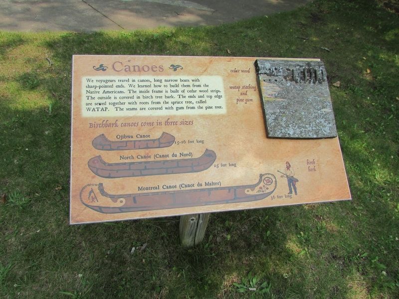
1. Canoes Marker
We voyageurs travel in canoes, long narrow boats with sharp-pointed ends. We learned how to build them from the Native Americans. The inside frame is built of cedar wood strips. The outside is covered in birch tree bark. The ends and top edge are sewed together with roots from the spruce tree, called WATAP. The seams are covered with gum from the pine tree.
Birchbark canoes come in three sizes: Ojibwa Canoe, 15-16 feet long; North Canoe (Canot du Nord), 25 feet long; and Montreal Canoe (Canot du Maitre), 36 feet long.
Topics. This historical marker is listed in these topic lists: Colonial Era • Waterways & Vessels.
Location. 45° 47.225′ N, 84° 44.021′ W. Marker is in Mackinaw City, Michigan, in Cheboygan County. It can be reached from Straits Avenue. Marker is located in a playground near Fort Michilimackinac. Touch for map. Marker is at or near this postal address: 101 W Straits Avenue, Mackinaw City MI 49701, United States of America. Touch for directions.

Regionally, this marker is in Northern Michigan Lower Peninsula, on the Straits of Mackinac, and in one of
this page online
Other nearby markers. At least 8 other markers are within walking distance of this marker: From Montreal to Michilimackinac (here, next to this marker); Fur Trade Routes (here, next to this marker); The Community Outside the Walls: Suburbs of Michilimackinac (within shouting distance of this marker); Major Arent Schuyler DePeyster - 1736-1822 (about 300 feet away, measured in a direct line); Revolutionary Times (about 400 feet away); Michigan's First Jewish Settler (about 400 feet away); Crossroads of the Fur Trade (about 400 feet away); Flags of Michilimackinac (about 400 feet away). Touch for a list and map of all markers in Mackinaw City.
More about this marker. Illustrations of the various types of canoes appear on the lower left of the marker.
Samples of cedar wood, watap stitching, pine gum, and birch bark are on the upper right
Photographed by Bill Coughlin, July 13, 2025
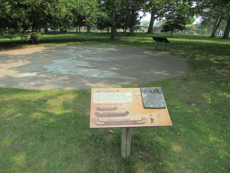
2. Canoes Marker
A map of the Great Lakes region, where the Vouageurs traveled, is pained on the ground in front of te marker.
Photographed by Bill Coughlin, July 13, 2024
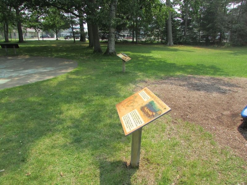
3. Canoes Marker
Several markers are at this location. The Canoes marker is further away in the photo.
Photographed by Bill Coughlin, July 13, 2025
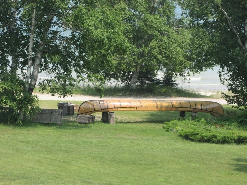
4. A North Canoe
An example of a North Canoe can be seen near the marker.
Credits. This page was last revised on July 19, 2025. It was originally submitted on July 19, 2025, by Bill Coughlin of Woodland Park, New Jersey. This page has been viewed 119 times since then and 36 times this year. Photos: 1, 2, 3, 4. submitted on July 19, 2025, by Bill Coughlin of Woodland Park, New Jersey.
