Harvard Square on the Cambridge Common in Middlesex County, Massachusetts — The American Northeast (New England)
John Bridge 1578–1665
Photographed by R.J. O’Hara, July 3, 2025
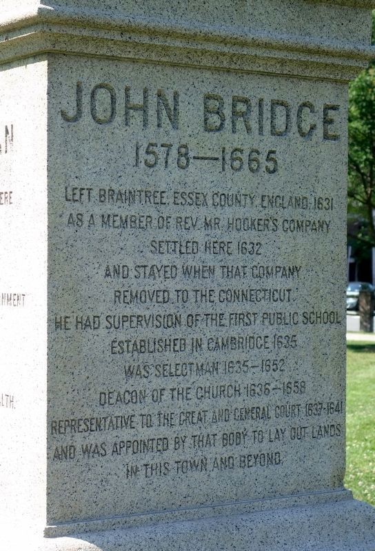
1. John Bridge Monument
1578–1665
Left Braintree, Essex County, England, 1631
as a member of Rev. Mr. Hooker's company.
Settled here 1632
and stayed when that company
removed to the Connecticut.
He had supervision of the first public school
established in Cambridge 1635,
was Selectman 1635–1652,
Deacon of the Church 1636–1658,
Representative to the Great and General Court 1637–1641,
and was appointed by that body to lay out lands
in this town and beyond.
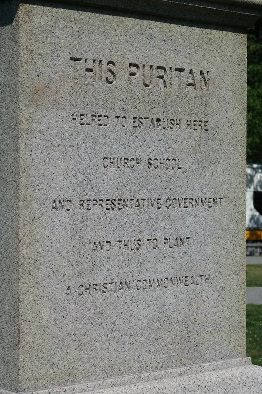
helped to establish here
church, school
and representative government
and thus to plant
a Christian Commonwealth.
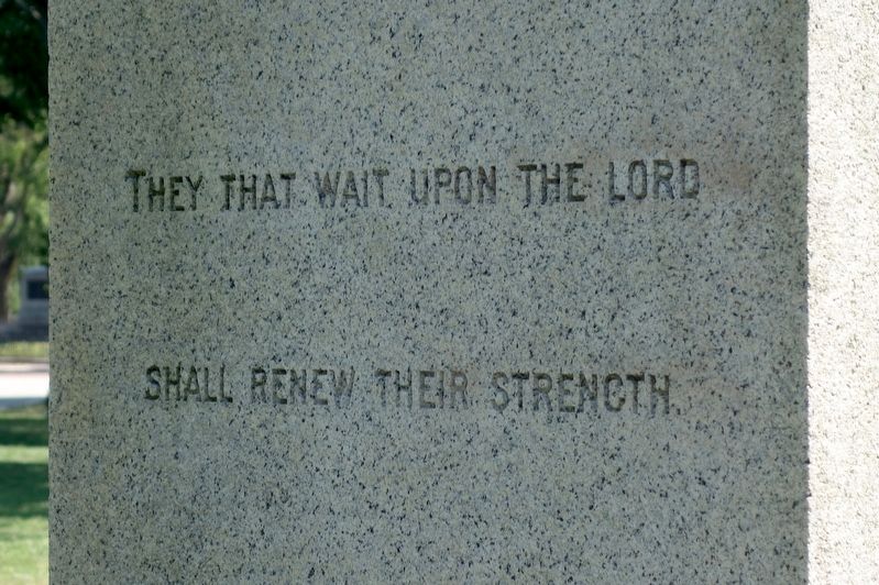
Shall renew their strength.
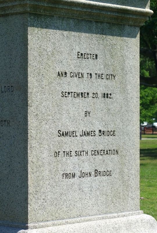
and given to the City
September 20, 1882
by
Samuel James Bridge
of the sixth generation
from John Bridge.
Erected 1882 by Samuel James Bridge.
Topics. This historical marker is listed in these topic lists: Colonial Era • Settlements & Settlers. A significant historical year for this entry is 1665.
Location. 42° 22.65′ N, 71° 7.234′ W. Marker is in Cambridge, Massachusetts, in Middlesex County. It is in Harvard Square on the Cambridge Common. It is at the intersection of Massachusetts Avenue and Waterhouse Street, on the left when traveling north on Massachusetts Avenue. Touch for map. Marker is in this post office area: Cambridge MA 02138, United States of America. Touch for directions.

Regionally, this marker is in Greater Boston. It is also in the American Northeast, in New England, and on the Eastern Seaboard. Globally, it is in the North Atlantic Region, North America, the Western Hemisphere, the Western World, and the Anglosphere. Historically, it finds itself in what was once one of the original Thirteen Colonies.
Other nearby markers. At least 8 other markers are within walking distance of this marker: Ancient Oak (about
this page online
Additional keywords. Puritans, Massachusetts, Massachusetts Bay Colony
Photographed by R.J. O’Hara, July 3, 2025
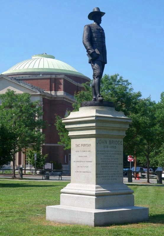
2. John Bridge Monument
Photographed on the 250th anniversary of George Washington taking command of the American army here on the Cambridge Common, 3 July 1775.
Photographed by R.J. O’Hara, July 3, 2025
3. John Bridge Monument
Photographed by R.J. O’Hara, July 3, 2025
4. John Bridge Monument
Photographed by R.J. O’Hara, July 3, 2025
5. John Bridge Monument
Credits. This page was last revised on July 31, 2025. It was originally submitted on July 23, 2025, by R.J. O’Hara of Fitchburg, Massachusetts. This page has been viewed 152 times since then and 45 times this year. Photos: 1, 2, 3, 4, 5. submitted on July 23, 2025, by R.J. O’Hara of Fitchburg, Massachusetts. • Michael Herrick was the editor who published this page.
