Belle View near Alexandria in Fairfax County, Virginia — The American South (Mid-Atlantic)
Desegregation of Community Clubs
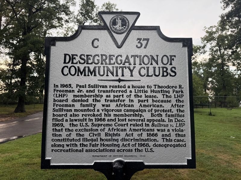
Erected 2025 by Department of Historic Resources. (Marker Number C-37.)
Topics and series. This historical marker is listed in these topic lists: African Americans • Civil Rights • Parks & Recreational Areas. In addition, it is included in the Virginia Department of Historic Resources (DHR) series list. A significant historical month for this entry is December 1969.
Location. 38° 45.975′ N, 77° 4.344′ W. Marker is near Alexandria, Virginia,
this page online

Regionally, this marker is in the Washington Metropolitan Area and in Northern Virginia. It is also in the American South, specifically in the Upper South, in the Mid-Atlantic, and on the Eastern Seaboard. Globally, it is in the North Atlantic Region, North America, the Western Hemisphere, the Western World, and the Anglosphere. Historically, it finds itself in what was once the territory of the Mississippian Culture, one of the original Thirteen Colonies, one of the Confederate States of America, and the Antebellum South.
Other nearby markers. At least 8 other markers are within 2 miles of this marker, measured as the crow flies: Beacon Field Airport (approx. 0.6 miles away); Defenses of Washington (approx. 1.1 miles away); Huntley (approx. 1.2 miles away); Unfolding Views, Hidden Stories (approx. 1.2 miles away); a different marker also named Defenses of Washington
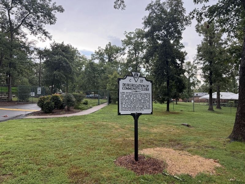
Photographed by Devry Becker Jones (CC0), July 25, 2025
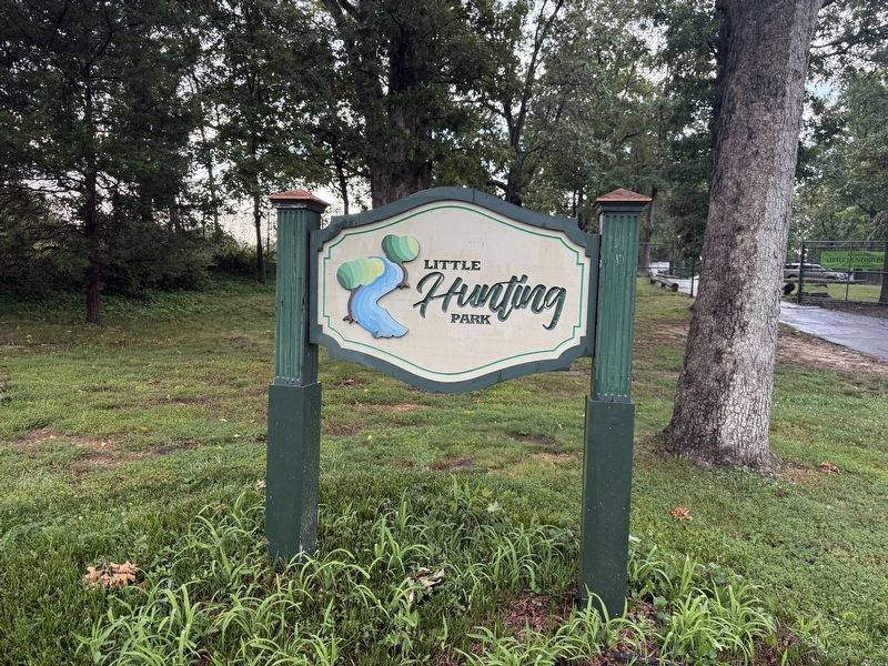
2. Desegregation of Community Clubs Marker at the entrance to Little Hunting Park
More about this marker. Marker was cast in 2023, erected in 2025.
Credits. This page was last revised on August 4, 2025. It was originally submitted on July 25, 2025, by Devry Becker Jones of Washington, District of Columbia. This page has been viewed 152 times since then and 43 times this year. Photos: 1, 2, 3. submitted on July 25, 2025, by Devry Becker Jones of Washington, District of Columbia.
