Old Silk Stocking in Norman in Cleveland County, Oklahoma — The American South (West South Central)
The End of the Century and the Beginning of Legacy Trail
The 2000s
| — | Norman Legacy Trail | — |
Photographed by Duane and Tracy Marsteller, June 20, 2025
1. The End of the Century and the Beginning of Legacy Trail Marker
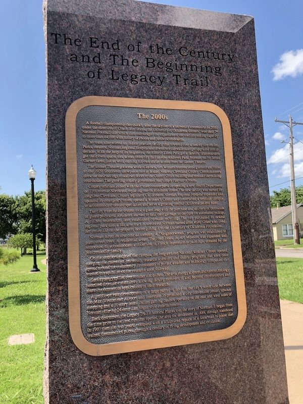
The team also scored an indoor practice facility that towered over a nearby fire station. Parks, theaters, Norman Regional Hospital and downtown sidewalks also got upgraded in mid-decade. With the help of its neighbors, the historic Lions Park got a facelift. Skateboarders got their own space, too, across from City Hall at Abe Andrews Park. Norman native James garner fared just as well, earning his own statue across from the Sooner Theatre.
The Sooner Theatre also got some work of its own, too. Workers restored some glamour and luster to the 1929 Southwest show piece movie house. Nearby, Cleveland County Commissioners drew on their savings to add two floors to the county office building and remodel the existing courthouse. The growing county government had simply run out of room.
County
this page online
The city's sanitation system took a giant leap with the purchase and delivery of thousands of green polycarts. Residents learned to haul their garbage to the curb for automated pickup. A citizen referendum later established curbside recycling. The city purchased its newest regional park site, a 148-acre tract in northwest Norman named after Ruby Grant who lived her entire life on the property before gifting it to the University of Oklahoma Foundation.
Norman hired its first official forester. A “Neighborwoods” program was established to plant street trees in residential areas. The Fred Jones, Jr. Art Museum was expanded and remodeled to accommodate a collection of French impressionist paintings donated by
Photographed by Duane and Tracy Marsteller, June 20, 2025
2. The End of the Century and the Beginning of Legacy Trail Marker
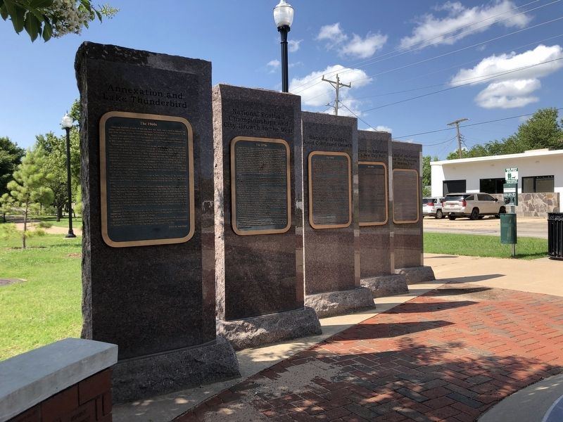
Featured marker is on the far right.
On the southern edge of the campus, the long-awaited National Weather Center opened, merging the talents of university research scientists and federal program that were once spread around the community. Investments of private weather and technology companies that wanted to capitalize on the research soon followed.
Such synergy spilled over to other disciplines. The arts, energy sciences and nanotechnology benefitted from new state laws allowing faculty members to also become entrepreneurs and share commercial applications of their research.
A public-private development of a large parcel of land on the city's north side between the Max Westheimer Airport and Interstate 35 promised a city convention center, upscale shopping and a 10-story hotel. Indian gaming casinos operated on the east and west sides of Norman offering 24-hour Las Vegas-style entertainment.
Back downtown, the Legacy Trail historical plazas told the story of Norman. It began from the time prior to the land run that opened the area for settlement in 1889, through statehood in 1907 then the war years, complete with a sculptured replica of a Stearman bi-plane that trained thousands of pilots through a century of flying development and evolution.
Topics. This historical marker is listed in these topic lists: Education • Parks & Recreational Areas • Science & Medicine • Sports. A significant historical year for this entry is 2000.
Location. 35° 13.382′ N, 97° 26.686′ W. Marker is in Norman, Oklahoma, in Cleveland County. It is in Old Silk Stocking. It is on North Jones Avenue north of East Tonhawa Street, on the left when traveling north. Marker is on the Norman Legacy Trail between Jones Avenue and the railroad tracks to the west. Touch for map. Marker is in this post office area: Norman OK 73069, United States of America. Touch for directions.

Regionally, this marker is in Central Oklahoma—Frontier Country and in Greater Oklahoma City. It is also in the American South, specifically on the prairies, and on the Southern Plains. Globally, it is in North America, the Western Hemisphere, the Western World, and the Anglosphere. Historically, it finds itself in what was once the territory of the Mississippian Culture and also the Louisiana Purchase.
Other nearby markers. At least 8 other markers are within walking distance of this marker: Excellence in Education and a New City Hall (here, next to this marker); Bank Troubles Amid Continued Growth (here, next to this marker); National Football Championships and City Growth to the West (here, next to this marker); Annexation and Lake Thunderbird (here, next to this marker); The Legacy Years (a few steps from this marker); United States Post Office (about 700 feet away, measured in a direct line); Norman and Oklahoma's Centennial (approx. 0.2 miles away); Sooner Theater (approx. 0.2 miles away). Touch for a list and map of all markers in Norman.
Related markers. Click here for a list of markers that are related to this marker.
Credits. This page was last revised on July 27, 2025. It was originally submitted on July 27, 2025, by Duane and Tracy Marsteller of Murfreesboro, Tennessee. This page has been viewed 94 times since then and 17 times this year. Photos: 1, 2. submitted on July 27, 2025, by Duane and Tracy Marsteller of Murfreesboro, Tennessee.
