Near Globe in Gila County, Arizona — The American Mountains (Southwest)
El Capitan Pass
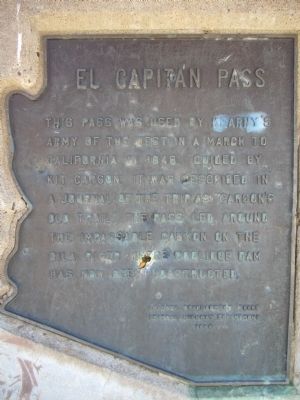
Photographed by Bill Kirchner, February 25, 2010
1. El Capitan Pass Marker
Erected 1964 by Arizona Development Board and Arizona Highway Department.
Topics. This historical marker is listed in these topic lists: Roads & Vehicles • War, Mexican-American • Waterways & Vessels. A significant historical year for this entry is 1846.
Location. 33° 15.796′ N, 110° 46.307′ W. Marker is near Globe, Arizona, in Gila County. It is on Arizona Route 77 at milepost 162, on the right when traveling north. Touch for map. Marker is in this post office area: Globe AZ 85501, United States of America. Touch for directions.

Regionally, this marker is on the Mogollon Rim, in the San Carlos Apache Nation, and specifically in the White Mountain Apache Nation. It is also in the American Southwest. Globally, it is in North America, the Western Hemisphere, the Western World, and the Anglosphere. Historically, it finds itself
this page online
Other nearby markers. At least 8 other markers are within 10 miles of this marker, measured as the crow flies: Site of Sheriff Thompson's Home (approx. 9.1 miles away); Amster Building (approx. 9.2 miles away); Hon. George W. P. Hunt (approx. 9.2 miles away); In Honor of John W. Wentworth (approx. 9.2 miles away); St. John's Espiscopal Church (approx. 9.2 miles away); City of Globe (approx. 9.2 miles away); Cobre Valley Center for the Arts (approx. 9.2 miles away); From Globe to Governor (approx. 9.4 miles away). Touch for a list and map of all markers in Globe.
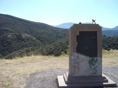
Photographed by Bill Kirchner, February 25, 2010
2. El Capitan Pass Marker
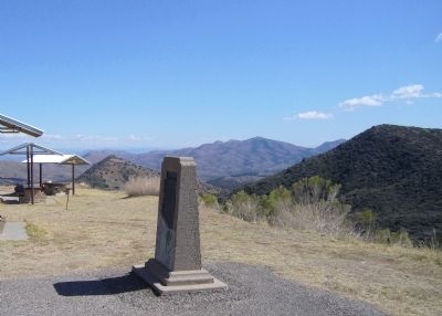
Photographed by Bill Kirchner, February 25, 2010
3. El Capitan Pass Marker
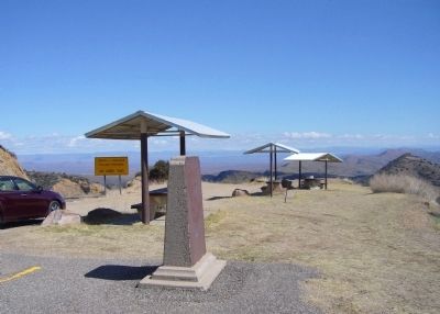
Photographed by Bill Kirchner, February 25, 2010
4. El Capitan Pass Marker
Credits. This page was last revised on November 2, 2019. It was originally submitted on February 28, 2010, by Bill Kirchner of Tucson, Arizona. This page has been viewed 3,192 times since then and 121 times this year. Photos: 1, 2, 3, 4. submitted on February 28, 2010, by Bill Kirchner of Tucson, Arizona. • Syd Whittle was the editor who published this page.
