Near Winchester in Frederick County, Virginia — The American South (Mid-Atlantic)
Fort Collier
"I never saw such a sight"
Photographed by Bradley Owen, July 23, 2025
1. Fort Collier Marker
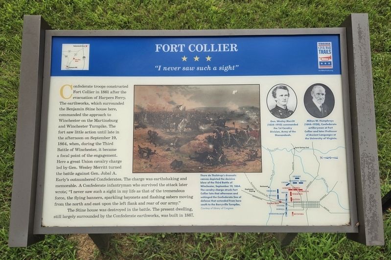
Confederate troops constructed Fort Collier in 1861 after the evacuation of Harpers Ferry. The earthworks, which surrounded the Benjamin Stine house here, commanded the approach to Winchester on the Martinsburg and Winchester Turnpike. The fort saw little action until late in the afternoon on September 19, 1864, when, during the Third Battle of Winchester, it became a focal point of the engagement. Here a great Union cavalry charge led by Gen. Wesley Merritt turned the battle against Gen. Jubal A. Early’s outnumbered Confederates. The charge was earthshaking and memorable. A Confederate infantryman who survived the attack later wrote, “I never saw such a sight in my life as that of the tremendous force, the flying banners, sparkling bayonets and flashing sabers moving from the north and east upon the left flank and rear of our army.”
The Stine house was destroyed in the battle. The present day dwelling, still largely surrounded by the Confederate earthworks, was built in 1867.
(Captions):
Thure de Thulstrup’s dramatic canvas depicted the decisive blow of the Third Battle of Winchester, September 19, 1864. The cavalry charge struck Fort Collier late that afternoon and unhinged the Confederate line of defense that extended from here, south to the Berryville Turnpike.
Courtesy Library of Congress
Gen. Wesley Merritt (1834–1910) commanded the 1st Cavalry Division, Army of the Shenandoah.
Milton W. Humphreys (1844–1928), Confederate artilleryman at Fort Collier and later Professor of Ancient Languages at the University of Virginia.
Erected by Virginia
this page online
Topics. This historical marker is listed in this topic list: War, US Civil. A significant historical date for this entry is September 19, 1864.
Location. 39° 12.093′ N, 78° 9.279′ W. Marker is near Winchester, Virginia, in Frederick County. It is on Brooke Road east of Martinsburg Pike (U.S. 11), on the left when traveling east. Touch for map. Marker is at or near this postal address: 16 Brooke Road, Winchester VA 22603, United States of America. Touch for directions.

Regionally, this marker is in the Shenandoah Valley. It is also in the American South, specifically in the Upper South, and in the Mid-Atlantic. Globally, it is in North America, the Western Hemisphere, the Western World, and the Anglosphere. Historically, it finds itself in what was once the territory of the Mississippian Culture, one of the original Thirteen Colonies, one of the Confederate States of America, and the Antebellum South.
Other nearby markers. At least 8 other markers are within walking distance of this marker: A different marker also named Fort Collier (within shouting distance of this marker); George Washington in Winchester (within
Photographed by Bradley Owen, July 23, 2025
2. Fort Collier Marker
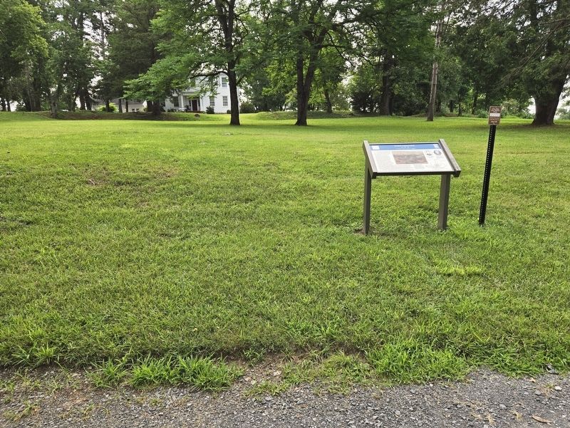
The Stine House is the white building in the distance.
Another marker is no longer nearby. Fort Collier (was a few steps from this marker but has been replaced with another marker now near it).
Related marker. Click here for another marker that is related to this marker. This marker has replaced another at this location.
Photographed by Bradley Owen, July 23, 2025
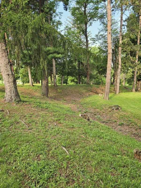
3. A Portion of the Earthworks at Fort Collier
Credits. This page was last revised on August 3, 2025. It was originally submitted on August 3, 2025, by Bradley Owen of Morgantown, West Virginia. This page has been viewed 108 times since then and 30 times this year. Photos: 1, 2, 3. submitted on August 3, 2025, by Bradley Owen of Morgantown, West Virginia.
