
Old Lyme in Lower Connecticut River Valley Region, Connecticut — The American Northeast (New England)
Witness Stones Old Lyme
Honoring the Lives of Enslaved Persons
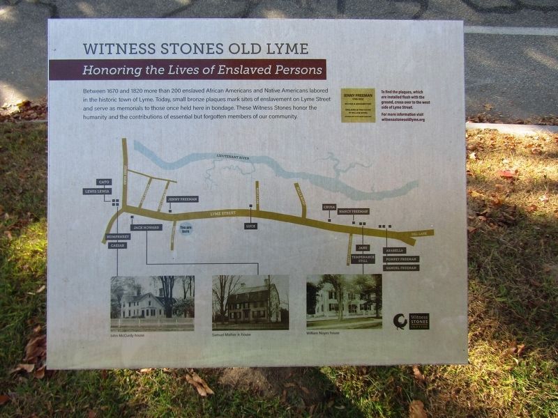
Photographed by Conrad Ward, October 19, 2024
1. Witness Stones Old Lyme Marker
Between 1670 and 1820 more than 200 enslaved African Americans and Native Americans labored in the historic town of Lyme. Today, small bronze plaques mark sites of enslavement on Lyme Street and serve as memorials to those once held here in bondage. These Witness Stones honor the humanity and the contributions of essential but forgotten members of our community.
Erected 2021.
Topics. This historical marker is listed in these topic lists: African Americans • Civil Rights • Indigenous Peoples and Communities.
Location. 41° 18.973′ N, 72° 19.781′ W. Marker is in Old Lyme in Lower Connecticut River Valley Region, Connecticut. It is at the intersection of Lyme Street and Library Lane, on the right when traveling north on Lyme Street. Located in front of the Old Lyme Phoebe Griffin Noyes Library. Touch for map. Marker is at or near this postal address: 2 Library Lane, Old Lyme CT 06371, United States of America. Touch for directions.

Regionally, this marker is on the Connecticut Shoreline, in Greater New London, in Mystic and the Eastern Shore, and in the
this page online
Other nearby markers. At least 8 other markers are within walking distance of this marker: Moses (here, next to this marker); Prince Freeman (about 300 feet away, measured in a direct line); Jenny Freeman (about 300 feet away); Old Lyme Veterans Memorial (about 400 feet away); Old Lyme (about 500 feet away); Samuel Holden Parsons (about 700 feet away); Boxwood (approx. 0.2 miles away); Jack Howard (approx. 0.2 miles away). Touch for a list and map of all markers in Old Lyme.
Also see . . .
1. Witness Stones Old Lyme. (Submitted on March 15, 2025.)
2. ‘Witness Stones’ Celebration Highlighted Installation of Plaques.
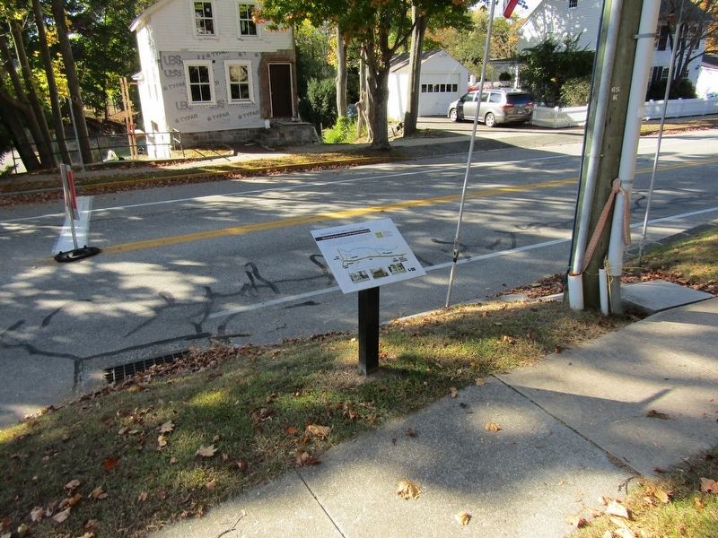
Old Lyme – The Old Lyme Witness Stones Partnership held an installation ceremony last Friday, June 4, celebrating the town’s newly installed Witness Stones—historical(Submitted on March 15, 2025.)plaques commemorating the lives of 14 individuals, who were once enslaved on Lyme Street.Photographed by Conrad Ward, October 19, 20242. Witness Stones Old Lyme Marker
Credits. This page was last revised on May 19, 2026. It was originally submitted on March 15, 2025, by Conrad Ward of Guilford, Connecticut. This page has been viewed 113 times since then and 14 times this year. Last updated on August 3, 2025, by Conrad Ward of Guilford, Connecticut. Photos: 1, 2. submitted on March 15, 2025, by Conrad Ward of Guilford, Connecticut. • Devry Becker Jones was the editor who published this page.
