Salvo in Dare County, North Carolina — The American South (South Atlantic)
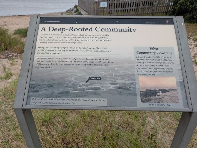
A Deep-Rooted Community
| — | Cape Hatteras National Seashore | — |
Photographed by Mark P Brock-Cancellieri, August 2, 2025
1. A Deep-Rooted Community Marker
During the Civil War, a passing Union boat fired a "salvo" towards Clarksville, and noted the location on their map with the word "Salvo," forever changing the name of this small island community.
For decades, life in Salvo was isolated. Trips to the mainland required taking single track sand roads, ferries, and boats. The completion of the bridge over Oregon Inlet in 1863 brought well-needed connections, but also development and tourism to the community.
(sidebar)
Salvo Community Cemetery
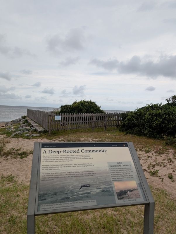
In front of you lies the Salvo Community Cemetery, first established in 1872. The cemetery is the final resting place of over 40 individuals, many of which were members of the Midgett family. We ask that you show respect and do not enter the family cemetery.
(captions)
Salvo Cemetery 1952
1970 aerial view of the Salvo Cemetery
this page online
Erected by National Park Service, U.S. Department of the Interior.
Topics. This historical marker is listed in these topic lists: Cemeteries & Burial Sites • Settlements & Settlers • War, US Civil. A significant historical year for this entry is 1863.
Location. 35° 32.057′ N, 75° 28.517′ W. Marker is in Salvo, North Carolina, in Dare County. It can be reached from Campground Road west of North Carolina Route 12, on the left when traveling north. Located on the sound side of the Salvo Day Area Outer Banks. Touch for map. Marker is at or near this postal address: 38000 North Carolina Hwy 12, Rodanthe NC 27968, United States of America. Touch for directions.

Regionally, this marker is in the Coastal Plain and on the Outer Banks. It is also in the American South, specifically in the Upper South, in the Tidewater, and on the Eastern Seaboard. Globally, it is in the North Atlantic Region, North America, the Western Hemisphere, the Western World, and the Anglosphere. Historically, it finds itself in what was once the territory of the
Photographed by Mark P Brock-Cancellieri, August 2, 2025
2. A Deep-Rooted Community Marker and cemetery
Other nearby markers. At least 8 other markers are within 13 miles of this marker, measured as the crow flies: Welcome to Salvo… (approx. 0.8 miles away); Welcome to Waves… (approx. 2½ miles away); "Mirlo" Rescue (approx. 4.3 miles away); The Chicamacomico Races / Exodus from Chicamacomico (approx. 4.3 miles away); Welcome to Rodanthe... (approx. 4.3 miles away); Chicamacomico Life-Saving Station (approx. 4.3 miles away); a different marker also named Mirlo Rescue (approx. 4.8 miles away); Charles Kuralt Trail (approx. 12.6 miles away). Touch for a list and map of all markers in Salvo.
Another marker is no longer nearby. The Fanny (was within shouting distance of this marker but has been confirmed missing).
Credits. This page was last revised on August 15, 2025. It was originally submitted on August 15, 2025, by Mark P. Brock-Cancellieri of Baltimore, Maryland. This page has been viewed 120 times since then and 30 times this year. Photos: 1, 2. submitted on August 15, 2025, by Mark P. Brock-Cancellieri of Baltimore, Maryland. • Bernard Fisher was the editor who published this page.
