Ballyconboy in County Roscommon, Connacht, Ireland — Irish West ((Éire) North Atlantic Ocean)
Cruachan
⎯⎯⎯
Cruachain (Rathmore)
Photographed by William Fischer, Jr., September 23, 2009
1. Cruachan / Cruachain (Rathmore) Marker
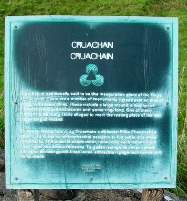
Cruachan is traditionally said to be the inauguration place of the Kings of Connacht. There are a number of monuments spread over an area of about two square miles. These include a large mound, a number of differently-shaped enclosures and some ring-forts. One of these contains a standing stone alleged to mark the resting place of the last pagan king of Ireland.
De réir an tseanchais is ag Cruachain a dhéantaí Ríthe Chonnacht a ghairm. Tá roinnt séadchomharthaí scaipthe ar fud achar dhá mhíle chearnacha. Orthu seo tá tulach mhór, roinnt clós nach ionann cruth dóibh agus líon áirithe ráthanna. Tá gallán laistigh de cheann díobh seo agus deirtear gurbh é seo ionad adhlachta rí págánach deireanach ne hÉireann.
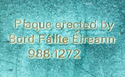
Erected by Bord Fáilte Éireann. (Marker Number 988:1272.)
Topics. This historical marker is listed in these topic lists: Anthropology & Archaeology • Forts and Castles • Man-Made Features • Settlements & Settlers.
Location. 53° 48.584′ N, 8° 18.639′ W. Marker is in Ballyconboy, Connacht, in County Roscommon. It is on the Tulsk-Bellanagare Road (National
this page online

Regionally, this marker is in the Hidden Heartlands. Globally, it is on the Atlantic Ocean, in the North Atlantic Region, on the Atlantic Arc, in Europe, on the Island of Ireland, on the Celtic Fringe, in the European Union, in Atlantic Europe, on one of the British Isles, in the Western World, and in the Anglosphere.
Other nearby markers. At least 2 other markers are within 6 kilometers of this marker, measured as the crow flies: Percy French (approx. 3.5 kilometers away); Rathmoyle Cemetery (approx. 5.6 kilometers away).
Photographed by William Fischer, Jr., September 23, 2009
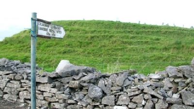
2. Cruachan / Cruachain (Rathmore) Marker
Photographed by William Fischer, Jr., September 23, 2009
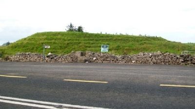
3. Cruachan / Cruachain (Rathmore) and Marker
Looking north across the N5.
Photographed by William Fischer, Jr., September 23, 2009
4. Cruachan / Cruachain (Rathmore) Marker
Photographed by William Fischer, Jr., September 23, 2009
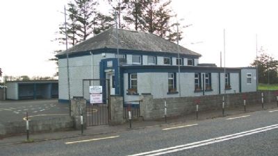
5. National School Across N5 from Cruachan
Credits. This page was last revised on July 12, 2019. It was originally submitted on March 4, 2010, by William Fischer, Jr. of Reynoldsburg, Ohio. This page has been viewed 1,395 times since then and 11 times this year. Photos: 1, 2, 3, 4, 5. submitted on March 5, 2010, by William Fischer, Jr. of Reynoldsburg, Ohio.
