
Ridgeway in Fort Erie in Niagara Region, Ontario — Central Canada (North America)
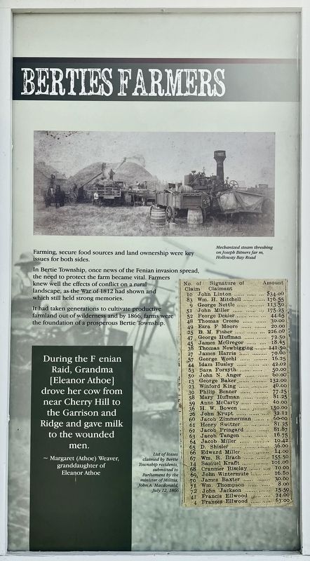
Berties Farmers
Photographed by Tim Boyd, April 23, 2025
1. Berties Farmers Marker
Farming, secure food sources and land ownership were key issues for both sides. In Bertie Township, once news of the Fenian invasion spread, the need to protect the farm became vital. Farmers knew well the effects of conflict on a rural landscape, as the War of 1812 had shown and which still held strong memories.
It had taken generations to cultivate productive farmland out of wilderness and by 1866, farms were the foundation of a prosperous Bertie Township.
Topics. This historical marker is listed in these topic lists: Agriculture • Wars, Non-US. A significant historical year for this entry is 1812.
Location. 42° 54.277′ N, 79° 2.472′ W. Marker is in Fort Erie, Ontario, in Niagara Region. It is in Ridgeway. It can be reached from Garrison Road east of Ridge Road North, on the right when traveling west. The marker is on the grounds of the Ridgeway Battlefield National Historic Site. Touch for map. Marker is at or near this postal address: 3388 Garrison Rd, Fort Erie ON L0S 1N0, Canada. Touch for directions.

Regionally, this marker is on Ontario’s Golden Horseshoe and in Niagara Canada. It is also in Central Canada. Globally, it is in North America, on the Great Lakes, in the Western Hemisphere, in the Western World, and in the Anglosphere. Historically, it finds itself in what was once a British colony, the Viceroyalty of New France, the Haudenosaunee (Iroquois) Confederacy, and Rupert’s Land.
Other nearby markers. At least 8 other markers are within walking distance of this marker: One Farm Family’s Fight (here, next to this marker); Buildings on the Battlefield (here, next to this marker); Irelands Farmers (a few steps from this marker); Farm Innovations (a few steps from this marker); In the Line of Fire (a few steps from this marker); Map and Timeline of Events - Fenian Invasion, 1866
this page online
Photographed by Tim Boyd, April 23, 2025
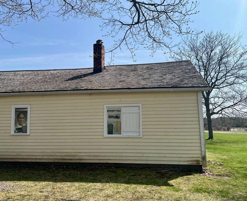
2. Berties Farmers Marker
On the north side of the Teal House
Photographed by Tim Boyd, April 23, 2025
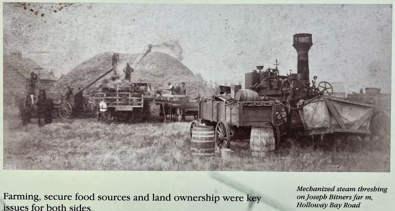
3. Berties Farmers marker photo and caption detail
Photographed by Tim Boyd, April 23, 2024
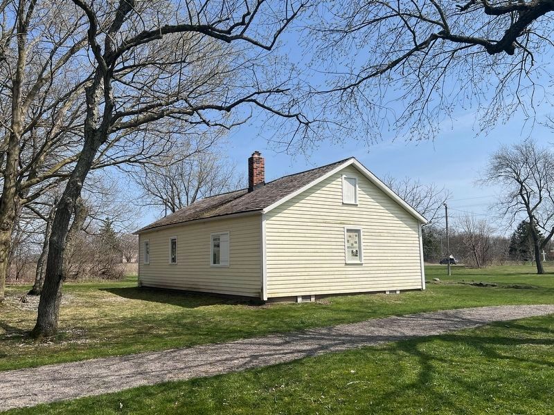
4. The Teal House, looking north-east
Credits. This page was last revised on August 18, 2025. It was originally submitted on April 30, 2025, by Tim Boyd of Hamilton, Ontario. This page has been viewed 108 times since then and 14 times this year. Last updated on August 16, 2025, by Kevin Westell of St. Catharines, Ontario. Photos: 1, 2, 3, 4. submitted on April 30, 2025, by Tim Boyd of Hamilton, Ontario. • Devry Becker Jones was the editor who published this page.
