Old Road Town in Saint Thomas Middle Island, Saint Kitts, Saint Kitts and Nevis — Caribbean Region of the Americas (Lesser Antilles in the West Indies)
Saman Tree
(Albizia Saman)
| — | Caribelle Batik | — |
Photographed by Jason Fountain, August 21, 2025
1. Saman Tree Marker
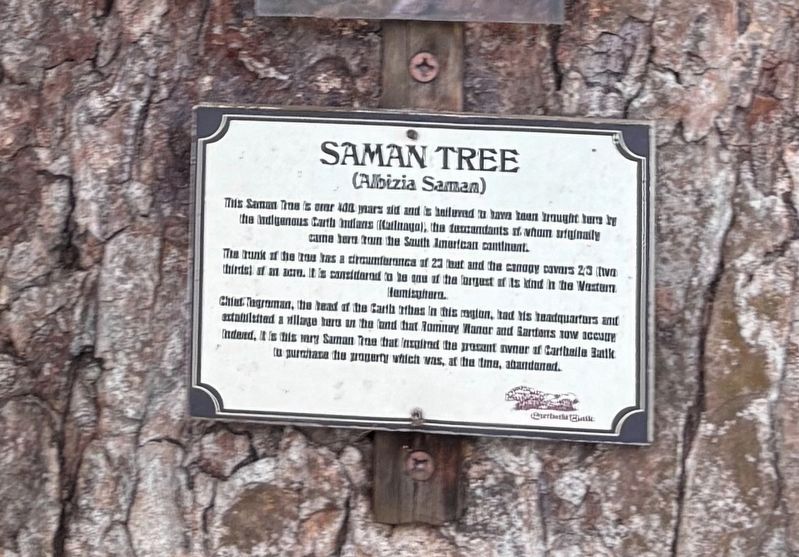
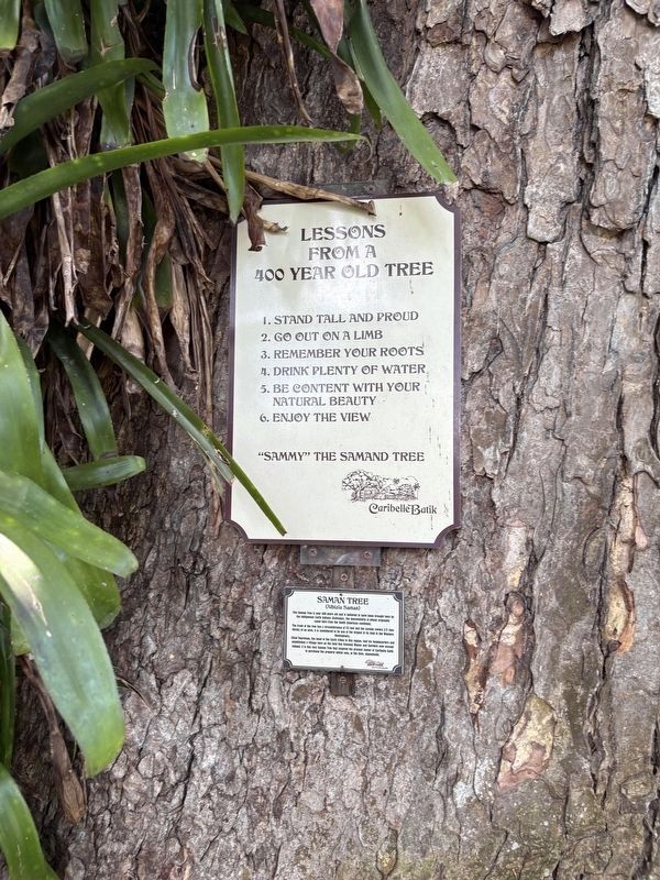
This Saman Tree is over 400 years old and is believed to have been brought here by the Indigenous Carib Indians (Kailnago), the descendants of whom originally came here from the South American continent.
The trunk of the tree has a circumference of 23 feet and the canopy covers 2/3 (two thirds) of an acre. It is considered to be one of the largest of its kind in the Western Hemisphere.
Chief Tegreman, the head of the Carib tribes in this region, had his headquarters and established a village here on the land that Romney manor and Gardens now occupy. Indeed, it is this very Saman Tree that inspired the present owner of Caribelle Batik to purchase the property which was, at the time, abandoned.
Erected by Caribelle Batik.
Topics. This historical marker is listed in these topic lists: Colonial Era • Horticulture & Forestry • Indigenous Peoples and Communities • Settlements & Settlers.
Location. 17° 19.526′ N, 62° 48.061′ W. Marker is in Old Road Town, Saint Kitts, in Saint Thomas Middle Island. It is on no nearby street. Touch for map. Touch for directions.

Regionally,
this page online
Other nearby markers. At least 8 other markers are within 10 kilometers of this marker, measured as the crow flies: Romney Manor (1626) Home of Caribelle Batik (a few steps from this marker); The Tree (a few steps from this marker); Bell Tower (a few steps from this marker); Viewing Gallery (within shouting distance of this marker); Brimstone Hill Fortress National Park (approx. 4.5 kilometers away); Fort George (approx. 4.5 kilometers away); The Berkley Memorial (approx. 8.9 kilometers away); Independence Square (approx. 8.9 kilometers away). Touch for a list and map of all markers in Old Road Town.
Photographed by Jason Fountain, August 21, 2025
2. Saman Tree Marker
Credits. This page was last revised on May 28, 2026. It was originally submitted on August 21, 2025, by Jason Fountain of Arlington, Virginia. This page has been viewed 89 times since then and 22 times this year. Photos: 1, 2. submitted on August 21, 2025, by Jason Fountain of Arlington, Virginia. • Devry Becker Jones was the editor who published this page.
