Hatteras in Dare County, North Carolina — The American South (South Atlantic)
Burnside's Expedition Crossing Hatteras Bar/The Burnside Expedition at Hatteras Inlet
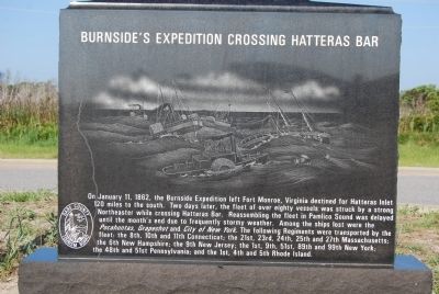
Photographed by Mike Wintermantel, August 16, 2011
1. Burnside's Expedition Crossing Hatteras Bar Marker
Side A:
Side B:
this page online
Erected by Dare County Tourism Board.
Topics. This historical marker is listed in these topic lists: War, US Civil • Waterways & Vessels. A significant historical date for this entry is January 11, 1862.
Location. 35° 12.364′ N, 75° 42.343′ W. Marker is in Hatteras, North Carolina, in Dare County. It can be reached from Museum Drive 0.2 miles west of Coast Guard Road. Located at the Graveyard of the Atlantic Shipwreck Museum. Part of the Hatteras Village Guided Tour. Touch for map. Marker is in this post office area: Hatteras NC 27943, United States of America. Touch for directions.

Regionally, this marker is in the Coastal Plain and on the Outer Banks. It is also in the American South, specifically in the Upper South, in the
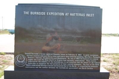
Photographed by Mike Wintermantel, August 16, 2011
2. The Burnside Expedition at Hatteras Inlet Marker
Other nearby markers. At least 8 other markers are within 2 miles of this marker, measured as the crow flies: Fort Clark / The Bombardment of Fort Hatteras (a few steps from this marker); Maritime Casualties of the American Civil War/Loss of the USS Monitor (about 300 feet away, measured in a direct line); Flagship USS Minnesota/Hotel de Afrique (about 300 feet away); U-boats Off North Carolina's Coast (about 500 feet away); Propeller From USS Dionysus (approx. 0.2 miles away); Welcome to captivating Hatteras Island… (approx. 0.2 miles away); Confederate Forts (approx. ¼ mile away); Storm Watch (approx. 1.3 miles away). Touch for a list and map of all markers in Hatteras.
Photographed by Mike Wintermantel, August 16, 2011
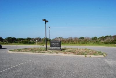
3. Burnside's Expedition Crossing Hatteras Bar Marker
Photographed by Mike Wintermantel, August 16, 2011
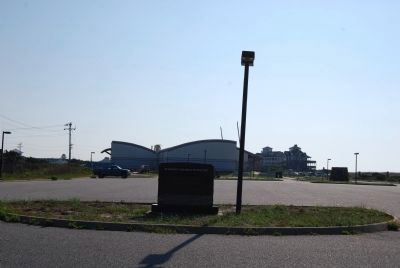
4. The Burnside Expedition at Hatteras Inlet Marker
Internet Archive
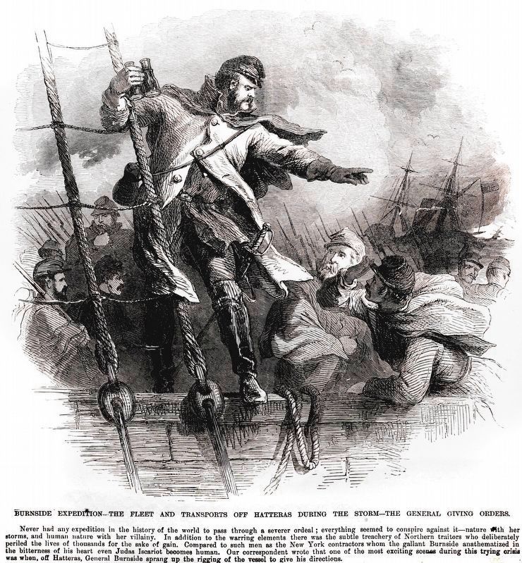
5. Burnside Expedition
The Fleet and Transports off Hatteras During the Storm
The Fleet and Transports off Hatteras During the Storm
Credits. This page was last revised on August 23, 2025. It was originally submitted on August 16, 2011, by Mike Wintermantel of Pittsburgh, Pennsylvania. This page has been viewed 1,495 times since then and 72 times this year. Last updated on August 22, 2025, by Mark P. Brock-Cancellieri of Baltimore, Maryland. Photos: 1. submitted on August 17, 2011, by Mike Wintermantel of Pittsburgh, Pennsylvania. 2. submitted on August 21, 2011, by Mike Wintermantel of Pittsburgh, Pennsylvania. 3. submitted on August 17, 2011, by Mike Wintermantel of Pittsburgh, Pennsylvania. 4. submitted on August 21, 2011, by Mike Wintermantel of Pittsburgh, Pennsylvania. 5. submitted on March 12, 2021, by Allen C. Browne of Silver Spring, Maryland. • Bernard Fisher was the editor who published this page.
