Farmington in St. Francois County, Missouri — The American Midwest (Upper Plains)
Cherokee Trail Roadside Park
Photographed by Jason Voigt, August 18, 2025
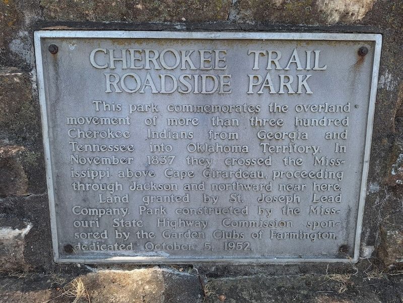
1. Cherokee Trail Roadside Park Marker
This park commemorates the overland movement of more than three hundred Cherokee Indians from Georgia and Tennessee into Oklahoma Territory. In November 1837 they crossed the Mississippi above Cape Girardeau, proceeding through Jackson and northward near here.
Land granted by St. Joseph Lead Company Park constructed by the Missouri State Highway Commission sponsored by the Garden Clubs of Farmington, dedicated October 5, 1952.
Erected 1952.
Topics and series. This historical marker is listed in these topic lists: Indigenous Peoples and Communities • Parks & Recreational Areas. In addition, it is included in the Trail of Tears series list. A significant historical date for this entry is October 5, 1952.
Location. 37° 46.739′ N, 90° 24.928′ W. Marker is in Farmington, Missouri, in St. Francois County. It is at the intersection of Sainte Genevieve Avenue and South Long Avenue, on the right when traveling east on Sainte Genevieve Avenue. Touch for map. Marker is at or near this postal address: 512 Sainte Genevieve Ave, Farmington MO 63640, United States of America. Touch for directions.

Regionally, this marker is in Southeast
this page online
Other nearby markers. At least 8 other markers are within walking distance of this marker: Long Tannery (within shouting distance of this marker); The Long House (within shouting distance of this marker); Original Site of Farmington Municipal Pool (about 300 feet away, measured in a direct line); Oldest Brick Building in Downtown Farmington (approx. 0.3 miles away); Sarah Barton Murphy (approx. 0.3 miles away); St. Francois County Courthouse (approx. 0.3 miles away); St. Francois County War Memorial (approx. 0.3 miles away); In Memory of Reginald David Cleve (approx. 0.3 miles away). Touch for a list and map of all markers in Farmington.
Also see . . . Trail of Tears National Historic Trail (National Park Service). (Submitted on August 23, 2025, by Jason Voigt of Glen Carbon, Illinois.)
Photographed by Jason Voigt, August 18, 2025
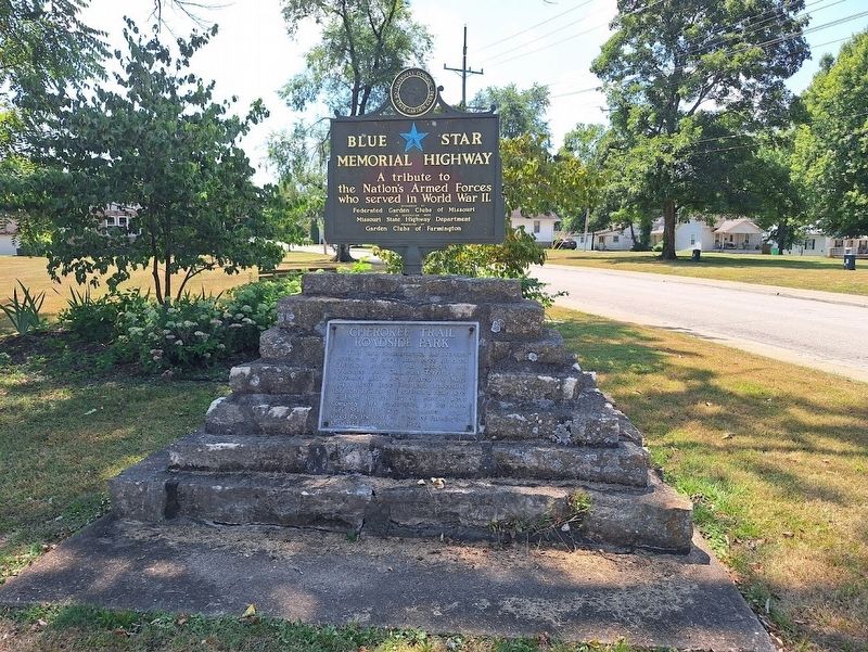
2. Cherokee Trail Roadside Park Marker
Photographed by Jason Voigt, August 18, 2025
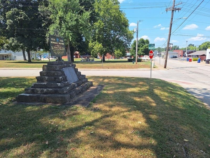
3. Cherokee Trail Roadside Park Marker
Looking west on Sainte Genevieve Avenue
Credits. This page was last revised on August 23, 2025. It was originally submitted on August 23, 2025, by Jason Voigt of Glen Carbon, Illinois. This page has been viewed 148 times since then and 40 times this year. Photos: 1, 2, 3. submitted on August 23, 2025, by Jason Voigt of Glen Carbon, Illinois.
