Goderich in Huron County, Ontario — Central Canada (North America)
The Original Lighthouse
| — | Goderich Marine Heritage Walkway | — |
Photographed by Tim Boyd, August 22, 2025
1. The Original Lighthouse Marker
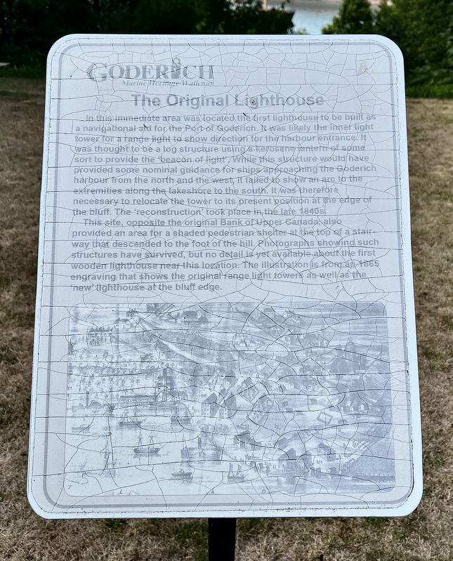
This site, opposite the original Bank of Upper Canada, also provided an area for a shaded pedestrian shelter at the top of a stair way that descended to the foot of the hill. Photographs showing such structures have survived, but no detail is yet available about the first wooden lighthouse near this location. The illustration is from an 1865 engraving that shows the original range light towers as well as the new lighthouse at the bluff edge.
Topics and series.
this page online
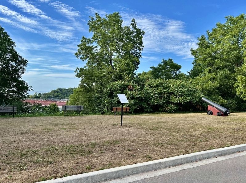
Location. 43° 44.564′ N, 81° 43.281′ W. Marker is in Goderich, Ontario, in Huron County. It is at the intersection of Cobourg Street and Wellesley Street, on the right when traveling west on Cobourg Street. Touch for map. Marker is at or near this postal address: 215 Cobourg Street, Goderich ON N7A N7A, Canada. Touch for directions.

Regionally, this marker is in the Huron-Perth-Waterloo-Wellington Area and in Southwestern Ontario. It is also in Central Canada. Globally, it is in North America, on the Great Lakes, in the Western Hemisphere, in the Western World, and in the Anglosphere. Historically, it finds itself in what was once a British colony, the Viceroyalty of New France, the Haudenosaunee (Iroquois) Confederacy, and Rupert’s Land.
Other nearby markers. At least 8 other markers are within walking distance of this marker: Salt Brine Plants (within shouting distance of this marker); The Great Storm of 1913
Photographed by Tim Boyd, August 22, 2025
2. The Original Lighthouse Marker
Credits. This page was last revised on August 27, 2025. It was originally submitted on August 25, 2025, by Tim Boyd of Hamilton, Ontario. This page has been viewed 84 times since then and 28 times this year. Photos: 1, 2. submitted on August 25, 2025, by Tim Boyd of Hamilton, Ontario. • Andrew Ruppenstein was the editor who published this page.
