Ridgway in Ouray County, Colorado — The American Mountains (Southwest)
History of Ridgway
⎯⎯⎯
Gateway to the San Juans
Photographed by Cosmos Mariner, July 18, 2025
1. History of Ridgway Marker (south side)
History of Ridgway
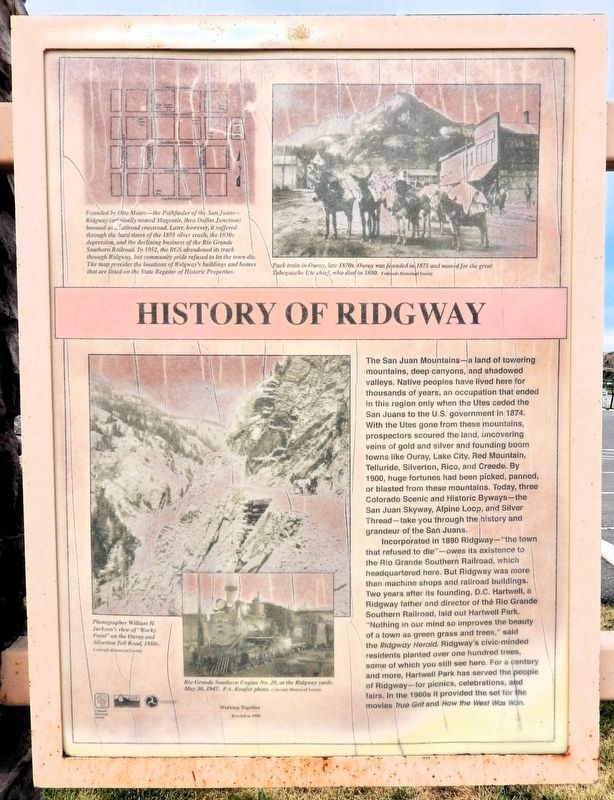
The San Juan Mountains — a land of towering mountains, deep canyons, and shadowed valleys. Native peoples have lived here for thousands of years, an occupation that ended in this region only when the Utes ceded the San Juans to the U.S. government in 1874. With the Utes gone from these mountains, prospectors scoured the land, uncovering veins of gold and silver and founding boom towns like Ouray, Lake City, Red Mountain, Telluride, Silverton, Rico, and Creede. By 1900, huge fortunes had been picked, panned, or blasted from these mountains. Today, three Colorado Scenic and Historic Byways — the San Juan Skyway, Alpine Loop, and Silver Thread — take you through the history and grandeur of the San Juans.
Incorporated in 1890 Ridgway — “the town that refused to die” — owes its existence to the Rio Grande Southern Railroad, which headquartered here. But Ridgway was more than machine shops and railroad buildings. Two years after its founding, D.C. Hartwell, a Ridgway father and director of the Rio Grande Southern Railroad, laid out Hartwell Park. “Nothing in our mind so improves the beauty of a town as green
this page online
[photo captions]
• Founded by Otto Mears — the Pathfinder of the San Juans — Ridgway (originally named Magentie, then Dallas Junction) boomed as a railroad crossroad. Later, however, it suffered through the hard times of the 1893 silver crash, the 1930s depression, and the declining business of the Rio Grande Southern Railroad. In 1952, the RGS abandoned its track through Ridgway, but community pride refused to let the town die. The map provides the locations of Ridgway's buildings and homes that are listed on the State Register of Historic Properties.
• Pack train in Ouray, late 1870s. Ouray was founded in 1875 and named for the great Tabeguache Ute chief, who died in 1880.
• Photographer William H. Jackson’s view of “Rocky Point” on the Ouray and Silverton Toll Road, 1880s.
• Rio Grande Southern Engine
Photographed by Cosmos Mariner, July 18, 2025
2. Gateway to the San Juans Marker
(north side)
(north side)
Gateway to the San Juans
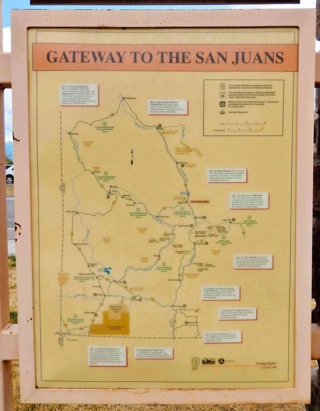
The Unaweep Tabeguache is a remarkable tour through western Colorado’s canyon country. The Hanging Flume, built in the 1890s, once carried water to a gold mine. Uravan, a former company mine and town, supplied uranium in the top-secret atomic bomb project of World War II.
Black Canyon of the Gunnison National Park. This deep, narrow canyon, cut by the Gunnison River, remains a barrier to human travel except for the most adventurous hikers.
Ute Indian Museum. This Colorado Historical Society museum interprets the history of the Utes, as well as Chief Ouray and his wife Chipeta, who lived and farmed on this site.
The high country Alpine Loop offers plenty of mining history on backcountry dirt and gravel roads, passable only in the summer. To travel the entire route you need a four-wheel drive vehicle with high clearance.
The Silver Thread departs from Lake City and heads east through the San Juans to Creede and South Fork. The breathtaking vistas and abundant wildlife are a treat for travelers.
The Durango and Silverton Narrow Gauge Railroad, a restored
Photographed by Cosmos Mariner, July 18, 2025
3. History of Ridgway Marker (south side)
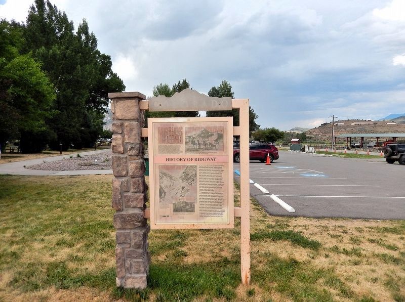
Looking north; the Hartwell Park parking lot is in the background.
The Southern Ute Cultural Center is a gallery and museum in Ignacio featuring the history, art, and culture of the Southern Ute people.
The San Juan Skyway tours the magnificent San Juan Mountains, the scene of a bustling silver rush that began in the 1870s.
Ute Mountain Ute Tribal Park. Accompanied by Ute Mountain Ute guides, visitors can take one or several day tours to Anasazi sites within this park.
The Trail of the Ancients runs through land once inhabited by the ancient Anasazi who left mysterious clues preserved today in Mesa Verde National Park, Hovenweep National Monument, Ute Mountain Ute Tribal Park, and the Anasazi Heritage Center in Dolores.
Erected 1996 by Colorado Historical Society and Colorado Department of Transportation.
Topics and series. This historical marker is listed in these topic lists: Indigenous Peoples and Communities • Parks & Recreational Areas • Railroads & Streetcars • Settlements & Settlers. In addition, it is included in the History Colorado series list. A significant historical year for this entry is 1890.
Location. 38° 9.093′ N,
Photographed by Cosmos Mariner, July 18, 2025
4. Gateway to the San Juans Marker (north side)
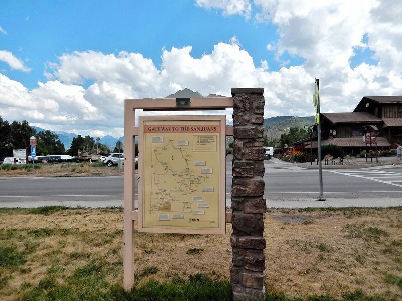
Looking south; Sherman Street crosses in the background.

Regionally, this marker is in the Western Slope. It is also in the American Mountain West. Globally, it is in North America, the Rocky Mountains, the Western Hemisphere, the Western World, and the Anglosphere.
Other nearby markers. At least 8 other markers are within walking distance of this marker: True Grit Landmark #2 (within shouting distance of this marker); True Grit Jail Wagon (within shouting distance of this marker); True Grit Landmark #1 (about 300 feet away, measured in a direct line); Ridgway Depot Outbuilding (about 300 feet away); True Grit Landmark #7 (about 400 feet away); True Grit Landmark #6 (about 400 feet away); RGS Coach 252 Restoration (about 400 feet away); True Grit Landmark #3 (about 400 feet away). Touch for a list and map of all markers in Ridgway.
Credits. This page was last revised on August 30, 2025. It was originally submitted on August 26, 2025, by Cosmos Mariner of Cape Canaveral, Florida. This page has been viewed 173 times since then and 59 times this year. Photos: 1, 2, 3, 4. submitted on August 29, 2025, by Cosmos Mariner of Cape Canaveral, Florida.
