Dorchester in Boston in Suffolk County, Massachusetts — The American Northeast (New England)
Natural Shoreline
Photographed by Conrad Ward, March 2, 2025
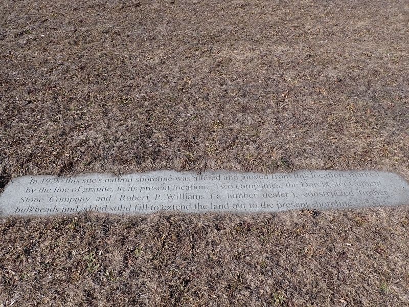
1. Natural Shoreline Marker
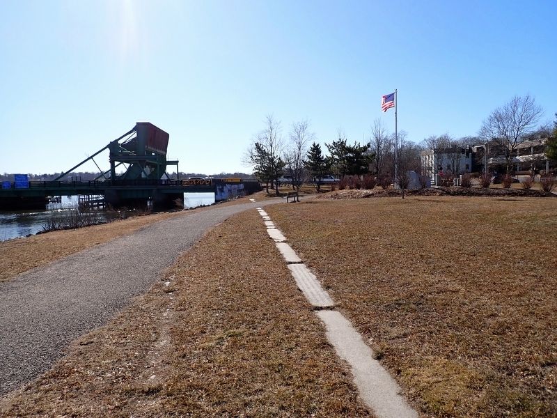
In 1928 this site's natural shoreline was altered and moved from this location marked by the line of granite, to its present location. Two companies, the Dorchester Cement Stone Company and Robert P. Williams (a lumber dealer), constructed timber bulkheads and added solid fill to extend the land out to the present shoreline.
Topics. This historical marker is listed in these topic lists: Environment • Industry & Commerce • Waterways & Vessels. A significant historical year for this entry is 1928.
Location. 42° 16.686′ N, 71° 3.171′ W. Marker is in Boston, Massachusetts, in Suffolk County. It is in Dorchester. It can be reached from the intersection of Granite Avenue and Hill Top Street, on the right when traveling north. Located in Neponset Park. Touch for map. Marker is in this post office area: Dorchester Center MA 02124, United States of America. Touch for directions.

Regionally, this marker is in Historic Boston. It is also in the American Northeast, in New England, and on the Eastern Seaboard. Globally, it is in the North Atlantic Region, North America, the Western Hemisphere, the Western World, and
this page online
Other nearby markers. At least 8 other markers are within 2 miles of this marker, measured as the crow flies: Mark S. Charbonnier & Richard T. Dever Memorial (within shouting distance of this marker); Historic Shoreline (within shouting distance of this marker); A. Michael Mullane (approx. 0.4 miles away); Maloney Circle (approx. ¾ mile away); Bridge and Grist Mill (approx. 0.9 miles away); Birthplace of George Herbert Walker Bush (approx. 1.1 miles away); Indian Trail (approx. 1.1 miles away); Milton Cemetery (approx. 1.7 miles away). Touch for a list and map of all markers in Boston.
Photographed by Conrad Ward, March 2, 2025
2. Natural Shoreline Marker
Credits. This page was last revised on September 1, 2025. It was originally submitted on August 28, 2025, by Conrad Ward of Guilford, Connecticut. This page has been viewed 80 times since then and 23 times this year. Photos: 1, 2. submitted on August 28, 2025, by Conrad Ward of Guilford, Connecticut. • Michael Herrick was the editor who published this page.
