
Niagara Falls in Niagara Region, Ontario — Central Canada (North America)
Niagara Portage Road
Photographed by Dale K. Benington, June 10, 2012
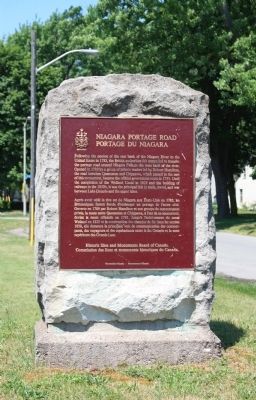
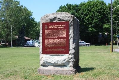
1. Niagara Portage Road Marker

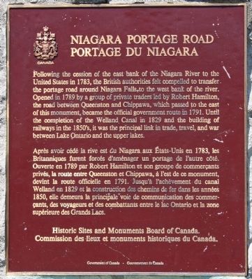
Following the cession of the east bank of the Niagara River to the United States in 1783, the British authorities felt compelled to transfer the portage road around Niagara Falls to the west bank of the river. Opened in 1789 by a group of private traders led by Robert Hamilton, the road between Queenston and Chippawa, which passed to the east of this monument, became the official government route in 1791. Until the completion of the Welland Canal in 1829 and the building of railways in the 1850's, it was the principal link in trade, travel, and war between Lake Ontario and the upper lakes.
Erected by Historic Sites and Monuments Board of Canada.
Topics and series. This historical marker is listed in these topic lists: Industry & Commerce • Roads & Vehicles • Waterways & Vessels. In addition, it is included in the Canada, Historic Sites and Monuments Board, and the The Welland Canals series lists. A significant historical year for this entry is 1783.
Location. 43° 7.538′ N, 79° 5.954′ W. Marker is in Niagara Falls, Ontario, in Niagara Region. It is at the intersection of Portage Road and Stamford Green Drive, on the left when traveling north on Portage Road. This historical marker is located
this page online

Regionally, this marker is on Ontario’s Golden Horseshoe and in Niagara Canada. It is also in Central Canada. Globally, it is in North America, on the Great Lakes, in the Western Hemisphere, in the Western World, and in the Anglosphere. Historically, it finds itself in what was once a British colony, the Viceroyalty of New France, the Haudenosaunee (Iroquois) Confederacy, and Rupert’s Land.
Other nearby markers. At least 8 other markers are within walking distance of this marker: Alexander Robinson Cody House circa 1821 (about 90 meters away, measured in a direct line); 1784 In Memorium 1984 (about 210 meters away); Church of St. John the Evangelist (about 210 meters away); Russell Cottage circa 1830 (about 240 meters away); Mitchell Cottage 1805 (approx. 0.3 kilometers away); 3357 St Patrick 1805 (approx. 0.3 kilometers away); Stamford Presbyterian Cemetery History (approx. 0.3
Photographed by Dale K. Benington, June 10, 2012
2. Niagara Portage Road Marker
Close-up view of the text on the historical marker.
Photographed by Dale K. Benington, June 10, 2012
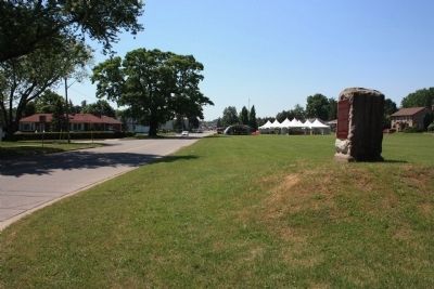
3. Niagara Portage Road Marker
View of the historical marker looking south along Portage Road.
Photographed by Dale K. Benington, June 10, 2012
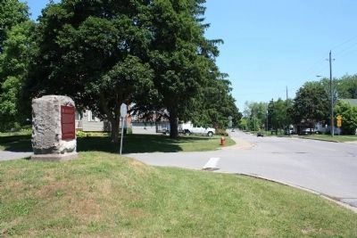
4. Niagara Portage Road Marker
View of the historical marker looking north along Portage Road.
Photographed by Dale K. Benington, June 10, 2012
5. Niagara Portage Road Marker
Credits. This page was last revised on October 24, 2025. It was originally submitted on June 19, 2013, by Dale K. Benington of Toledo, Ohio. This page has been viewed 925 times since then and 23 times this year. Last updated on August 30, 2025, by Kevin Westell of St. Catharines, Ontario. Photos: 1, 2, 3, 4, 5. submitted on June 19, 2013, by Dale K. Benington of Toledo, Ohio. • Devry Becker Jones was the editor who published this page.
