
Highland Park in Saint Paul in Ramsey County, Minnesota — The American Midwest (Upper Plains)
Prairies
Photographed by McGhiever, August 23, 2025
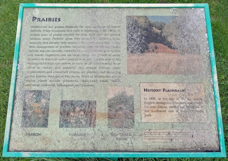
1. Prairies Marker
Wildflowers and grasses dominate the open landscape of prairie habitats. When Europeans first came to Minnesota in the 1800s, 18 million acres of prairie covered the state. Less than one percent remains today. Periodic grass fires caused by lightning occur naturally and actually help maintain the prairie ecosystem. Long-term management of prairies, including Crosby's planted prairie habitat, requires periodic, controlled burning or mowing to remove old, woody vegetation and encourage fresh new growth to occur. Incentive to maintain native prairies is strong. Just one acre of this endangered habitat can contain as many as 200 plant species. In an effort to restore and conserve this unique habitat, many organizations and concerned citizens are planting and managing native prairies throughout Minnesota. Some of Minnesota's native prairie plants include goldenrod, black-eyed susan, clover, sunflower, milkweed, Indiangrass and bluestem.
Yarrow • Fleabane • Red-tailed hawk
History Flashback!
In 1858, at the age of 28, the young English immigrant, Thomas Crosby, with his wife Emma, staked out 160 acres in the southwestend of today's Crosby park.
Click or scan to see
this page online
Funding for this project approved by the Minnesota Legislature, Ml. 1997, Chapter 216, Sec. 15, Subd. 13k, as recommended by the Legislative Commission on Minnesota Resources from the Minnesota Environmental and Natural Resources Trust Fund. Prepared by Saint Paul Parks and Recreation.
Erected by Saint Paul Parks and Recreation.
Topics. This historical marker is listed in these topic lists: Agriculture • Environment. A significant historical year for this entry is 1858.
Location. 44° 53.899′ N, 93° 9.789′ W. Marker is in Saint Paul, Minnesota, in Ramsey County. It is in Highland Park. It can be reached from Crosby Farm Road. The marker is in Crosby Farm Regional Park, halfway between the south parking lot and Upper Crosby Lake. Touch for map. Marker is in this post office area: Saint Paul MN 55116, United States of America. Touch for directions.

Regionally, this marker is in the Twin Cities Metropolitan Area. It is also in the American Midwest, in the Corn Belt, and in the Great River Road Region. Globally, it is in North America, the Western Hemisphere, the Western World, and the Anglosphere.
Photographed by McGhiever, August 23, 2025
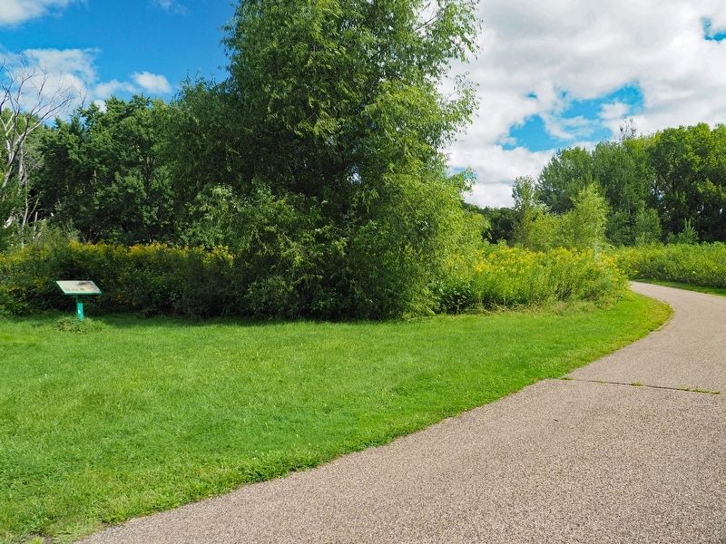
2. Prairies Marker along the trail in Crosby Farm Regional Park
Other nearby markers. At least 8 other markers are within walking distance of this marker: Wetlands (about 500 feet away, measured in a direct line); Explore Your Mississippi (about 500 feet away); Crosby Farm (about 700 feet away); Floodplain Forests (about 700 feet away); Dakotan Daily Life in the 1700s (approx. 0.6 miles away); Native American Peoples and Clues to the Past (approx. 0.7 miles away); Henry Sibley and Old Mendota (approx. 0.7 miles away); The First Stone House (approx. ¾ mile away). Touch for a list and map of all markers in Saint Paul.
Credits. This page was last revised on August 30, 2025. It was originally submitted on August 30, 2025, by McGhiever of Minneapolis, Minnesota. This page has been viewed 86 times since then and 18 times this year. Photos: 1, 2. submitted on August 30, 2025, by McGhiever of Minneapolis, Minnesota.
