North Loop in Minneapolis in Hennepin County, Minnesota — The American Midwest (Upper Plains)
Carriages to Cars
Built: 1897
| — | Historic North Loop | — |
Photographed by McGhiever, May 12, 2024
1. Carriages to Cars Marker
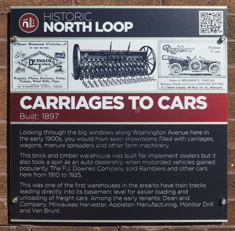
Looking through the big windows along Washington Avenue here in the early 1900s, you would have seen showrooms filled with carriages, wagons, manure spreaders and other farm machinery.
This brick and timber warehouse was built for implement dealers but it also took a spin as an auto dealership when motorized vehicles gained popularity. The P.J. Downes Company sold Ramblers and other cars here from 1910 to 1925.
This was one of the first warehouses in the area to have train tracks leading directly into its basement level for easier loading and unloading of freight cars. Among the early tenants: Dean and Company, Milwaukee Harvester, Appleton Manufacturing, Monitor Drill and Van Brunt.
Erected by North Loop Neighborhood Association.
Topics. This historical marker is listed in these topic lists: Agriculture • Industry & Commerce • Railroads & Streetcars • Roads & Vehicles. A significant historical year for this entry is 1897.
Location. 44° 59.094′ N, 93° 16.33′ W. Marker is in Minneapolis, Minnesota, in Hennepin County. It is in North Loop. It is at the intersection of N. 3rd Avenue and Washington
this page online

Regionally, this marker is in the Twin Cities Metropolitan Area. It is also in the American Midwest, in the Corn Belt, and in the Great River Road Region. Globally, it is in North America, the Western Hemisphere, the Western World, and the Anglosphere. Historically, it finds itself in what was once Rupert’s Land, the territory of the Mississippian Culture, and the Louisiana Purchase.
Other nearby markers. At least 8 other markers are within walking distance of this marker: Streetcars, Groceries & Booze (within shouting distance of this marker); Carriages, Crackers & Color TVs (about 400 feet away, measured in a direct line); Windmills, Wagons and More (about 500 feet away); Buggy Assembly Plant (about 600 feet away); Lutefisk Processing Plant (about 700 feet away); Washers & Tools (approx. 0.2 miles away); Gothic Storage Facility (approx. 0.2 miles away); Pasta Factory

Photographed by McGhiever, May 12, 2024
2. Carriages to Cars Marker (lower right) on the building's N. 3rd Avenue façade
Also see . . . Loop Back: Hewing Hotel (QR code on marker). (Submitted on August 31, 2025, by McGhiever of Minneapolis, Minnesota.)
Credits. This page was last revised on August 31, 2025. It was originally submitted on August 31, 2025, by McGhiever of Minneapolis, Minnesota. This page has been viewed 72 times since then and 18 times this year. Photos: 1, 2. submitted on August 31, 2025, by McGhiever of Minneapolis, Minnesota.
