Shelton in Fairfield County, Connecticut — The American Northeast (New England)
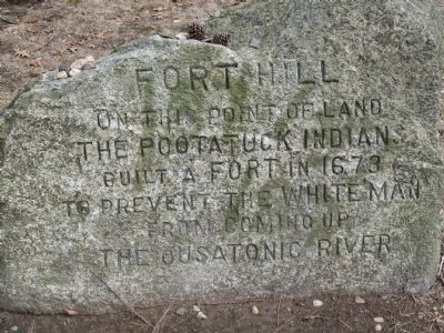
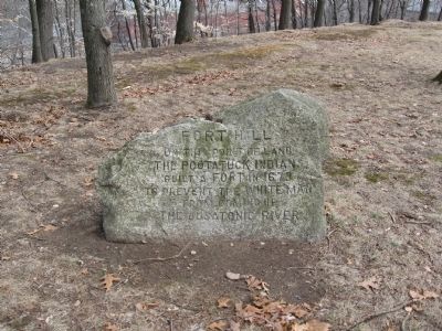
Fort Hill
On This Point Of Land
The Pootatuck Indians
Built A Fort In 1673
To Prevent The White Man
From Coming Up
The Ousatonic River
Topics. This historical marker is listed in these topic lists: Colonial Era • Native Americans. A significant historical year for this entry is 1673.
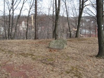
Location. 41° 19.306′ N, 73° 5.922′ W. Marker is in Shelton, Connecticut, in Fairfield County. Marker can be reached from the intersection of Howe Avenue (Connecticut Route 110) and New Street, on the right when traveling north. Located in Riverview Park, on the bluff overlooking the Housatonic River. Touch for map. Marker is in this post office area: Shelton CT 06484, United States of America. Touch for directions.
Other nearby markers. At least 8 other markers are within walking distance of this marker. Shelton Locks (about 300 feet away, measured in a direct line); Constitution Oak (about 400 feet away); To Honor the Men and Women of the City of Shelton (about 600 feet away); Shelton (about 600 feet away); Shelton World War II Memorial (approx. 0.2 miles away); Derby Korea – Vietnam Memorial (approx. half a mile away); Derby Veterans Monument (approx. half a mile away); Derby Firemen’s Memorial (approx. half a mile away). Touch for a list and map of all markers in Shelton.
Credits. This page was last revised on June 16, 2016. It was originally submitted on March 7, 2010, by Michael Herrick of Southbury, Connecticut. This page has been viewed 1,440 times since then and 44 times this year. Photos: 1, 2, 3. submitted on March 7, 2010, by Michael Herrick of Southbury, Connecticut.


