Near Bowling Green in Wood County, Ohio — The American Midwest (Great Lakes)
General Hull's Trail
Ohio Revolutionary Memorial Trail

Image courtesy of the Historical Marker Database
1. General Hull's Trail Marker
Through the forest to the east may still be seen the original trail of Hull’s army in June 1812, enroute to Detroit. Some of the corduroy timbers are still buried along the route.
Erected 1930 by Ohio Revolutionary Memorial Commission. (Marker Number C.)
Topics and series. This historical marker is listed in these topic lists: Indigenous Peoples and Communities • Roads & Vehicles • War of 1812. In addition, it is included in the Ohio Revolutionary Memorial Commission series list. A significant historical month for this entry is June 1812.
Location. Marker has been permanently removed. It was located near 41° 27.522′ N, 83° 39.028′ W. Marker was near Bowling Green, Ohio, in Wood County. It was at the intersection of North Dixie Highway (Ohio Route 25) and Middleton Pike ( Route 582), on the right when traveling north on North Dixie Highway. A likely location for this marker is on the northeast corner of the intersection. Touch for map. Marker was at or near this postal address: 20997 North Dixie Highway, Bowling Green OH 43402, United States of America.
We have been informed that this marker is no longer there and will not be replaced. This page is an archival view of what was.
Regionally, this marker was in the Black Swamp, in the Till Plains, and in the Toledo Metropolitan Area. It was also in the American Midwest and in the Corn Belt. Globally, it was in North America, on the Great Lakes, in the Western Hemisphere, in the Western World, and in the Anglosphere. Historically, it found itself in what was once the Haudenosaunee (Iroquois) Confederacy, the territory of the Mississippian Culture, and the Northwest Territory.

Other nearby markers. At least 8 other markers are within 4 miles of this location, measured as the crow flies: Sugar Ridge Veterans Memorial (approx. 2½ miles away);
this page online
Another marker is no longer nearby. to Dudley's Massacre / to Portage Stockade (was approx. 1.9 miles away but has been confirmed missing).
More about this marker. This historical marker is part of the Ohio Revolutionary Memorial Trail series (type C) which was put in place in 1930 to celebrate the 150th anniversary of the Ohio's Revolutionary War era Battle of Piqua, by the Ohio Revolutionary Memorial Commission.
In order to accomplish this, in 1929 the state of Ohio created the Ohio Revolutionary Memorial Commission, and then in 1930 this commission created 22 military trails, throughout western Ohio, between Cincinnati, Ohio on the state's southern border and Toledo, Ohio on the state's northern border. Each of these military trails represented the routes,
Photographed by Dale K. Benington, July 22, 2019
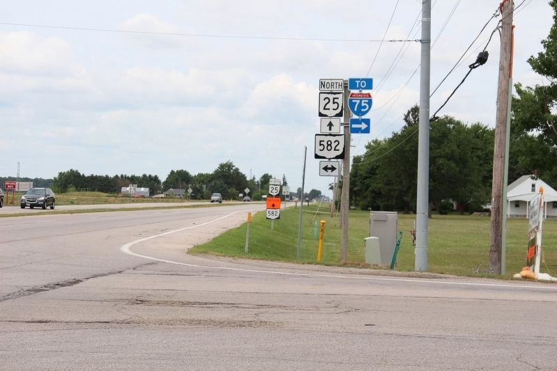
2. General Hull's Trail Marker
View, looking north along State Route 25, of a probable site for this Ohio Revolutionary Memorial Commission, type C marker.
The routes of these military trails were in turn marked by type A and type B Ohio Revolutionary Memorial Commission markers that served as directional (type B) and distance (type A) markers.
Originally, back in 1930, there were erected 70 some of these Ohio Revolutionary Memorial Commission, type C, markers. To date, there are only 20 some of them that have been located and posted on the Historical Marker database. A number of them are presently missing, and presumed to be permanently lost.
In all truthfulness, this Ohio Revolutionary Memorial Commission, type C marker, could have been located almost anywhere in Ohio's Wood County, along the side of the roadway, that was US 25 back in 1930 when this marker was first erected, but is State Route 25 today. I have chosen this particular location as being a very likely spot, with
Photographed by Dale K. Benington, July 22, 2019
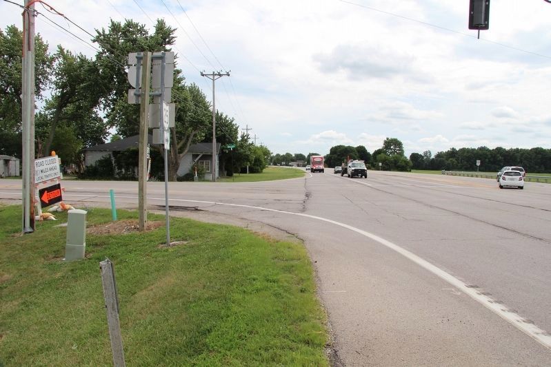
3. General Hull's Trail Marker
View, looking south along State Route 25, of a probable site for this Ohio Revolutionary Memorial Commission, type C marker.
Also see . . . Ohio Revolutionary Memorial Trail System. A description of the Revolutionary Memorial Trail System developed by the state of Ohio in 1929 - 1930. (Submitted on August 1, 2019, by Dale K. Benington of Toledo, Ohio.)
Photographed by Dale K. Benington, July 22, 2019
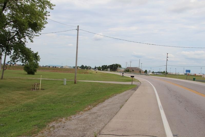
4. General Hull's Trail Marker
View looking east, from the site of the marker, towards the area where the woods mentioned in the 1930 era marker, would have been located, along with the remnants of General Hull's Trail.
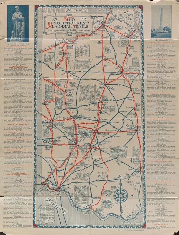
Image courtesy of the MidPointe Library System (www.MidPointeLibrary.org)
5. Ohio Revolutionary Memorial Trail Map
A view of an original Ohio Revolutionary Memorial Trail Map, from 1930. For a better view double click on this picture.
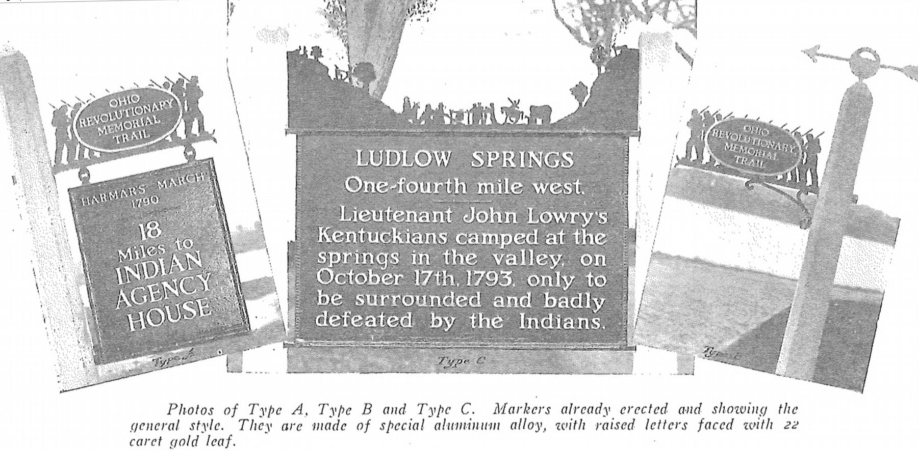
Image provided by Ohio Revolutionary Memorial Commission publication, dated 1931., June 26, 2019
6. Ohio Revolutionary Memorial Commission Marker Types
View of the three types of markers used by the Ohio Revolutionary Memorial Commission. The marker on the left is a type A marker, the marker in the middle is a type C (just like our featured marker), and the marker on the right is a type B. For a better view double click on this picture.
Credits. This page was last revised on September 19, 2025. It was originally submitted on July 31, 2019, by Dale K. Benington of Toledo, Ohio. This page has been viewed 990 times since then and 85 times this year. Last updated on September 4, 2025, by Craig Doda of Napoleon, Ohio. Photos: 1, 2, 3, 4, 5, 6. submitted on August 1, 2019, by Dale K. Benington of Toledo, Ohio. • Devry Becker Jones was the editor who published this page.
