
Grimsby in Niagara Region, Ontario — Central Canada (North America)
St. Andrew’s Anglican Church
Photographed by Tim Boyd, September 28, 2023
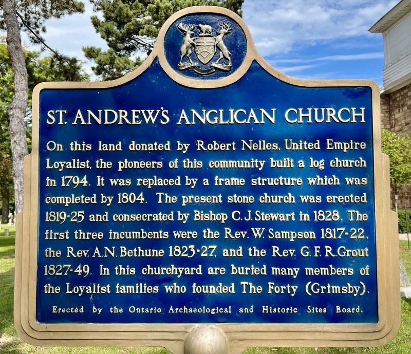
1. St. Andrew’s Anglican Church Marker
On this land donated by Robert Nelles, United Empire Loyalist, the pioneers of this community built a log church in 1794. It was replaced by a frame structure which was completed by 1804. The present stone church was erected 1819-25 and consecrated by Bishop C. J. Stewart in 1828. The first three incumbents were the Rev. W. Sampson 1817-22, the Rev. A.N. Bethune 1823-27, and the Rev. G. F. R.Grout 1827-49. In this churchyard are buried many members of the Loyalist families who founded The Forty (Grimsby).
Erected by Ontario Archaeological and Historic Sites Board.
Topics and series. This historical marker is listed in these topic lists: Colonial Era • Religion & Religious Structures • Settlements & Settlers. In addition, it is included in the Canada, Ontario Heritage Trust series list. A significant historical year for this entry is 1794.
Location. 43° 11.591′ N, 79° 34.236′ W. Marker is in Grimsby, Ontario, in Niagara Region. It is on Main Street West (Regional Road 81) 0.1 kilometers west of St. Andrews Avenue, on the right when traveling west. Touch for map. Marker is at or near this postal address:
this page online

Regionally, this marker is on Ontario’s Golden Horseshoe and in Niagara Canada. It is also in Central Canada. Globally, it is in North America, on the Great Lakes, in the Western Hemisphere, in the Western World, and in the Anglosphere. Historically, it finds itself in what was once a British colony, the Viceroyalty of New France, the Haudenosaunee (Iroquois) Confederacy, and Rupert’s Land.
Other nearby markers. At least 8 other markers are within walking distance of this marker: The White House c. 1830 (within shouting distance of this marker); Colonel Robert Nelles 1761-1842 (approx. 0.3 kilometers away); Nelles Manor 1798 (approx. 0.3 kilometers away); First Town Meeting (approx. 0.3 kilometers away); Nelles Fitch House 1791 (approx. 0.3 kilometers away); April 5th, 1990, 200th Anniversary of the First Municipal Meeting in Upper Canada (approx. 0.3 kilometers away); Grimsby Town Bell (approx. 0.3 kilometers away); Watering trough from Grimsby's Main Street (approx. 0.4 kilometers away). Touch for a list and map of all markers in Grimsby.
Also see . . . St. Andrew’s Grimsby - Our History.
Photographed by Tim Boyd, September 28, 2023
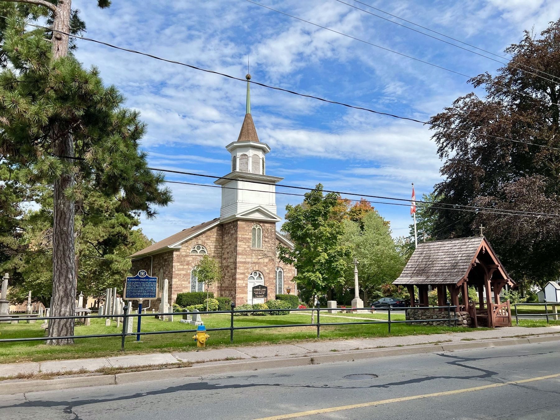
2. St. Andrew’s Anglican Church and Marker
Photographed by Tim Boyd, September 28, 2023
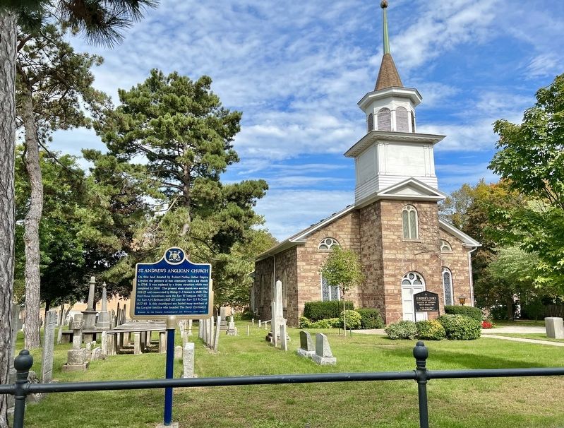
3. St. Andrew’s Anglican Church Marker
Photographed by Tim Boyd, September 28, 2023
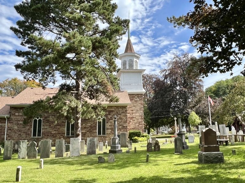
4. St. Andrew’s Anglican Church and cemetery
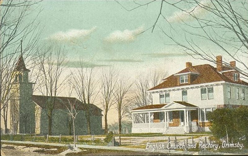
Ca 1910
5. Postcard of St. Andrew’s Anglican Church and Manse
Credits. This page was last revised on September 30, 2025. It was originally submitted on September 30, 2023, by Tim Boyd of Hamilton, Ontario. This page has been viewed 493 times since then and 31 times this year. Last updated on September 8, 2025, by Kevin Westell of St. Catharines, Ontario. Photos: 1, 2, 3, 4, 5. submitted on September 30, 2023, by Tim Boyd of Hamilton, Ontario. • Devry Becker Jones was the editor who published this page.
