
Somerset in Pulaski County, Kentucky — The American South (East South Central)
Battle of Dutton's Hill Monument
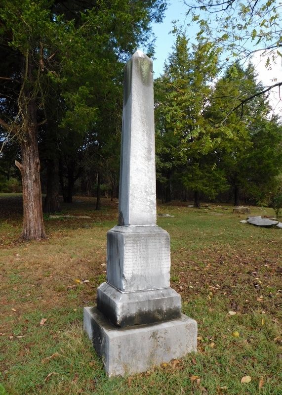
Photographed by Bradley Owen, October 15, 2019
1. Battle of Dutton's Hill Monument
Here, off-duty, 'till the last reveille,
rest the southern soldiers, few in
number, who were slain in this
county during the war of succes-
sion. They fell among strangers,
unknown, unfriended, yet not un-
honored; for strangers' hands have
gathered their ashes here, and
placed this shaft above them; that
constancy, valor, sacrifice of self,
though displayed in a fruitless
enterprise, may not be unremem-
bered.
Erected 1875.
Topics. This monument and memorial is listed in these topic lists: Cemeteries & Burial Sites • War, US Civil.
Location. 37° 7.047′ N, 84° 35.794′ W. Monument is in Somerset, Kentucky, in Pulaski County. It can be reached from U.S. 39 south of Wayne Pierce Street, on the right when traveling south. The monument is located on private property in the Dutton Hill residential development. Touch for map. Monument is in this post office area: Somerset KY 42503, United States of America. Touch for directions.

Regionally, this memorial monument is in Kentucky’s Lake Cumberland Region. It is also in the American South, specifically
this page online
Other nearby markers. At least 8 other markers are within 9 miles of this marker, measured as the crow flies: Dutton's Hill Battle (approx. 0.2 miles away); Home of Governor Morrow (approx. 1½ miles away); Morgan's First Raid (approx. 1.7 miles away); Russell S. Dyche Memorial Highway (approx. 1.8 miles away); Pulaski County 1799 (approx. 2 miles away); Town Spring (approx. 2 miles away); Confederate Defense Line / The Forces Move In / Battle of Mill Springs / Aftermath (approx. 8.4 miles away); A Hard March (approx. 8.4 miles away). Touch for a list and map of all markers in Somerset.
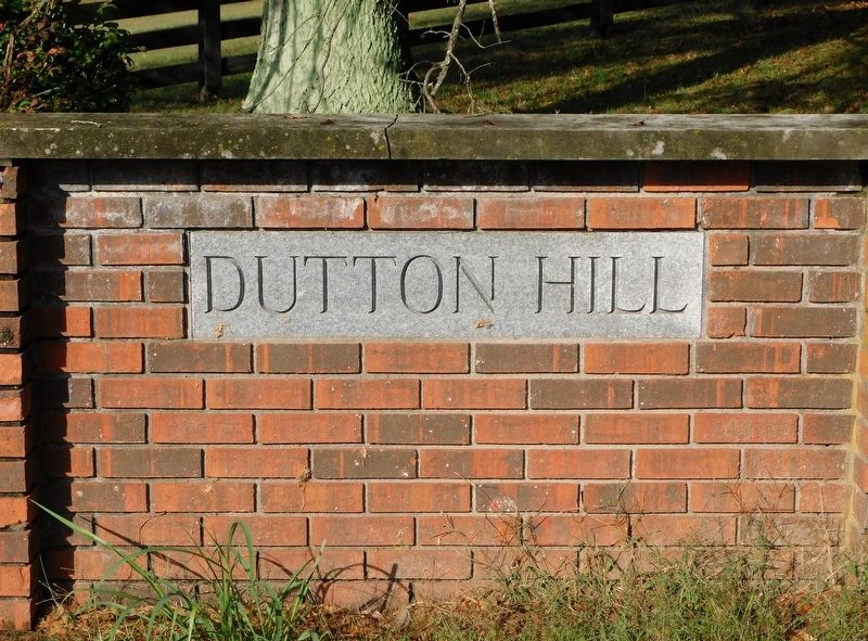
Photographed by Bradley Owen, October 15, 2019
2. Entrance Sign at Dutton's Hill Development
Credits. This page was last revised on September 20, 2025. It was originally submitted on January 17, 2021. This page has been viewed 779 times since then and 66 times this year. Last updated on September 9, 2025. Photos: 1, 2. submitted on January 17, 2021, by Bradley Owen of Morgantown, West Virginia. • James Hulse was the editor who published this page.
