Walpole in Norfolk County, Massachusetts — The American Northeast (New England)
Historic and Cultural Resources
Photographed by Conrad Ward, March 2, 2025
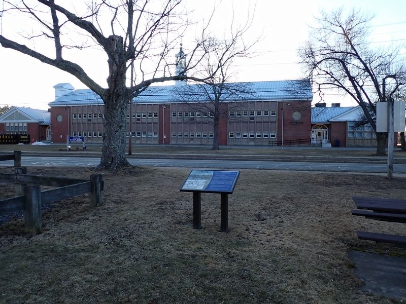
1. Historic and Cultural Resources Marker
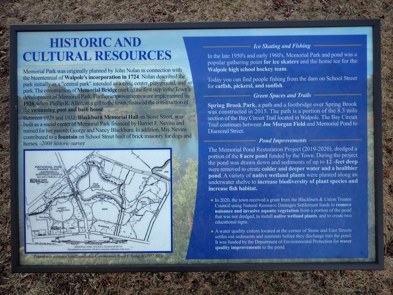
Memorial Park was originally planned by John Nolan in connection with the bicentennial of Walpole's incorporation in 1724. Nolan described the park initially as a "central park" intended as a civic center, playground, and park. The construction of Memorial Bridge marked the first step in the Town's development of Memorial Park, Further improvements were implemented in 1926, when Phillip R. Allen, as a gift to the town, financed the construction of the swimming pool and bath house.
Between 1929 and 1932, Blackburn Memorial Hall on Stone Street, was built as a social center of Memorial Park financed by Harriet F. Nevins and named for her parents George and Nancy Blackburn. In addition, Mrs. Nevins contributed to a fountain on School Street built of brick masonry for dogs and horses. -2008 historic survey
Today you can find people fishing from the dam on School Street for catfish, pickerel, and sunfish.
this page online
In 2020, the town received a grant from the Blackburn & Union Trustee Council using Natural Resource Damages Settlement funds to remove nuisance and invasive aquatic vegetation from a portion of the pond that was not dredged, to install native wetland plants, and to create two educational signs.
A water quality cistern located at the corner of Stone and East Streets settles out sediments and nutrients before they discharge into the pond. It was funded
Photographed by Conrad Ward, March 2, 2025
2. Historic and Cultural Resources Marker
Created with assistance from Conservation Commissioner, Roger F. Turner, Jr. (1932-2021)
(Map caption)
Memorial Park, Walpole, Massachusetts
Plan prepared in connection with the bi-centennial celebration of the town
Topics. This historical marker is listed in these topic lists: Charity & Public Work • Environment • Parks & Recreational Areas • Settlements & Settlers. A significant historical year for this entry is 1724.
Location. 42° 8.737′ N, 71° 14.951′ W. Marker is in Walpole, Massachusetts, in Norfolk County. It is on School Street south of East Street (Massachusetts Route 27), on the left when traveling south. Touch for map. Marker is in this post office area: Walpole MA 02081, United States of America. Touch for directions.

Regionally, this marker is in Greater Boston. It is also in the American Northeast, in New England, and on the Eastern Seaboard. Globally, it is in the North Atlantic Region, North America, the Western Hemisphere, the Western World, and the Anglosphere. Historically, it finds itself in
Photographed by Conrad Ward, March 2, 2025
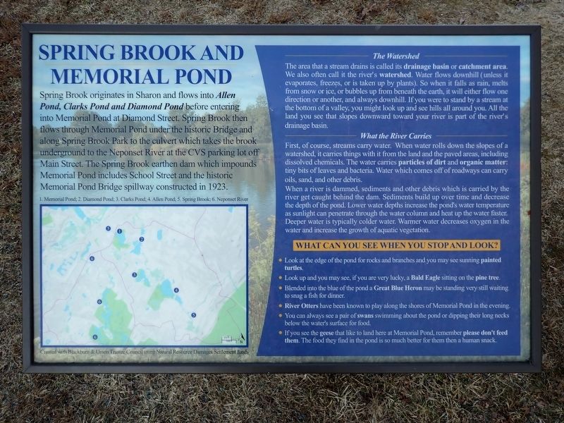
3. Nearby companion marker
Other nearby markers. At least 8 other markers are within walking distance of this marker: This Memorial Bridge (within shouting distance of this marker); Old Walpole Town Hall (approx. 0.2 miles away); Walpole French and Indian War Monument (approx. ¼ mile away); Old Meeting House Common (approx. ¼ mile away); "Rocky" Flagpole (approx. ¼ mile away); Walpole Armed Forces Memorial (approx. ¼ mile away); Desert Shield / Desert Storm Memorial (approx. ¼ mile away); C.S. Bird Fountain (approx. ¼ mile away). Touch for a list and map of all markers in Walpole.
Credits. This page was last revised on September 18, 2025. It was originally submitted on September 11, 2025, by Conrad Ward of Guilford, Connecticut. This page has been viewed 83 times since then and 38 times this year. Photos: 1, 2, 3. submitted on September 11, 2025, by Conrad Ward of Guilford, Connecticut. • Michael Herrick was the editor who published this page.
