
Central in Washington County, Utah — The American Mountains (Southwest)
Execution at the Scene of the Crimes
Photographed by Jeremy Snow, September 11, 2025
1. Execution at the Scene of the Crimes Marker
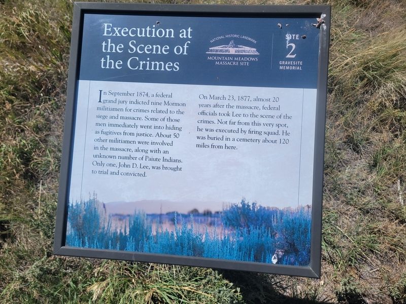
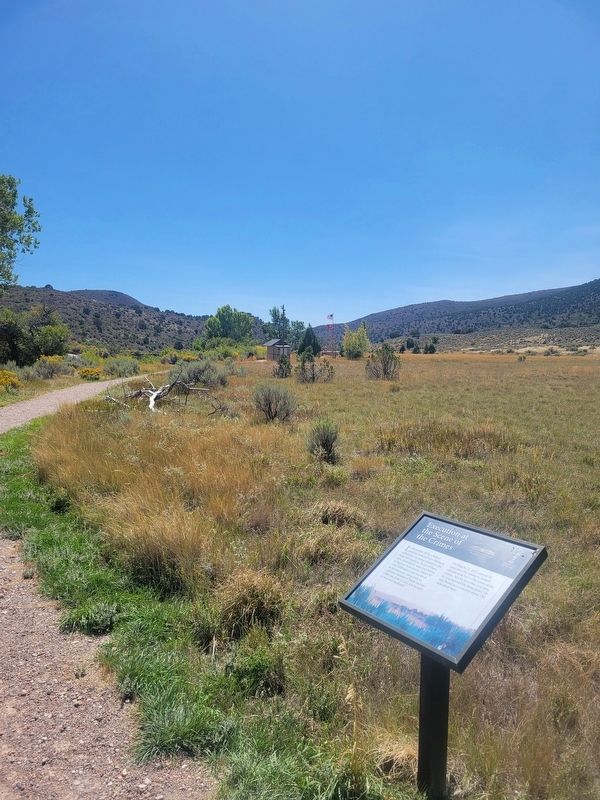
On March 23, 1877, almost 20 years after the massacre, federal officials took Lee to the scene of the crimes. Not far from this very spot, he was executed by firing squad. He was buried in a cemetery about 120 miles from here. (Marker Number 2.)
Topics. This historical marker is listed in these topic lists: Law Enforcement • Notable Events. A significant historical date for this entry is March 23, 1877.
Location. 37° 28.603′ N, 113° 38.582′ W. Marker is in Central, Utah, in Washington County. It can be reached from Mountain Meadow Monument Trail. Located on the west side of the walking path. Touch for map. Marker is at or near this postal address: Mountain Meadow Monument Trail, Veyo UT 84782, United States of America. Touch for directions.

Regionally, this marker is in
this page online
Other nearby markers. At least 8 other markers are within walking distance of this marker: The Mountain Meadows Massacre / Statements from Leaders of the Church of Jesus Christ of Latter-day (about 400 feet away, measured in a direct line); Siege, Murder, and Burials at the Emigrants' Campsite (about 400 feet away); Mountain Meadows Massacre Grave Site Memorial (about 500 feet away); The Burial Sites (approx. 0.6 miles away); The Arkansas Wagon Train (approx. 0.6 miles away); The Old Spanish Trail and The California Road (approx. 0.6 miles away); 1990 Mountain Meadows Monument (approx. 0.6 miles away); Leaders of the Arkansas Wagon Train (approx. 0.6 miles away). Touch for a list and map of all markers in Central.
Photographed by Jeremy Snow, September 11, 2025
2. Execution at the Scene of the Crimes Marker
Credits. This page was last revised on September 14, 2025. It was originally submitted on September 12, 2025, by Jeremy Snow of Cedar City, Utah. This page has been viewed 86 times since then and 24 times this year. Photos: 1, 2. submitted on September 12, 2025, by Jeremy Snow of Cedar City, Utah. • Andrew Ruppenstein was the editor who published this page.
