Near Atoka in Atoka County, Oklahoma — The American South (West South Central)
Chickasaw and Choctaw Nations during the Civil War
Photographed by James Hulse, September 10, 2025
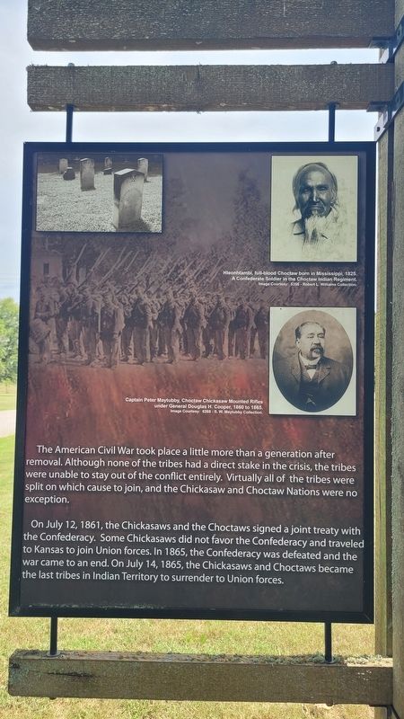
1. Chickasaw and Choctaw Nations during the Civil War Marker
On July 12, 1861, the Chickasaws and the Choctaws signed a joint treaty with the Confederacy. Some Chickasaws did not favor the Confederacy and traveled to Kansas to join Union forces. In 1865, the Confederacy was defeated and the war came to an end. On July 14, 1865, the Chickasaws and Choctaws became the last tribes in Indian Territory to surrender to Union forces.
Captions
(Photo #1) Hleonhtambi, full-blood Choctaw born in Mississippi, 1825. A Confederate Soldier in the Choctaw Indian Regiment. Image Courtesy: 5356 - Robert L. Williams Collection.
(Photo #2) Captain Peter Maytubby, Choctaw Chickasaw Mounted Rifles under General Douglas H. Cooper, 1860 to 1865. Image Courtesy: 6268 - S. W. Maytubby Collection.
Topics. This historical marker is listed in these topic lists: Civil Rights • Indigenous Peoples and Communities. A significant historical date for this entry is July 12, 1861.
Location. 34° 19.197′ N, 96° 18.535′ W. Marker is near Atoka, Oklahoma, in Atoka County. It is on South Park Lane 1½ miles north of W Boggy Depot Rd, on the left when traveling north. The marker is located on grounds of the Historic Boggy Depot State Park. Touch for map. Marker is at or near this postal address: 4684 S Park Ln, Atoka OK 74525, United States of America. Touch for directions.

Regionally, this marker is in the Choctaw Nation and in Southeast Oklahoma—Choctaw Country. It is also in the American South, specifically on the prairies, and on the Southern Plains. Globally, it is in North
this page online
Other nearby markers. At least 8 other markers are within 12 miles of this marker, measured as the crow flies: Boggy Depot (a few steps from this marker); Chief Allen Wright (a few steps from this marker); Prairie Grassland (about 500 feet away, measured in a direct line); a different marker also named Boggy Depot (approx. 3½ miles away); Oklahoma's First Catholic Church (approx. 9.8 miles away); Captain Atoka (approx. 11.3 miles away); Vietnam War Memorial (approx. 11.3 miles away); 45th Infantry Division Memorial Highway (approx. 11.4 miles away). Touch for a list and map of all markers in Atoka.
Photographed by James Hulse, September 10, 2025
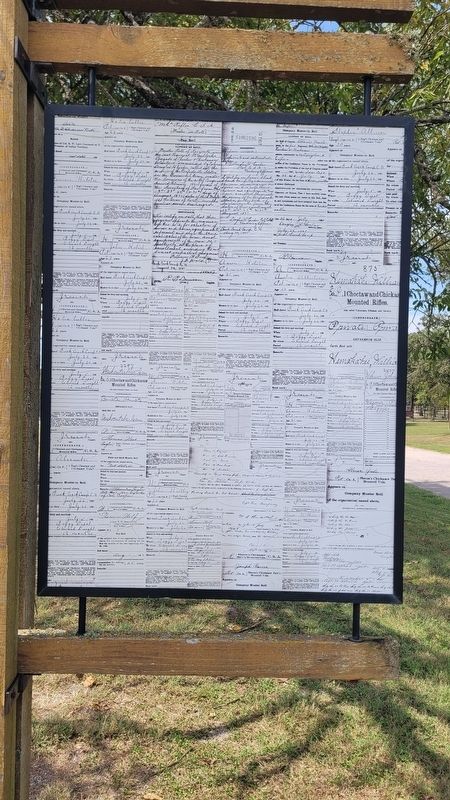
2. Chickasaw and Choctaw Nations during the Civil War Marker - Reverse Side
Photographed by James Hulse, September 10, 2025
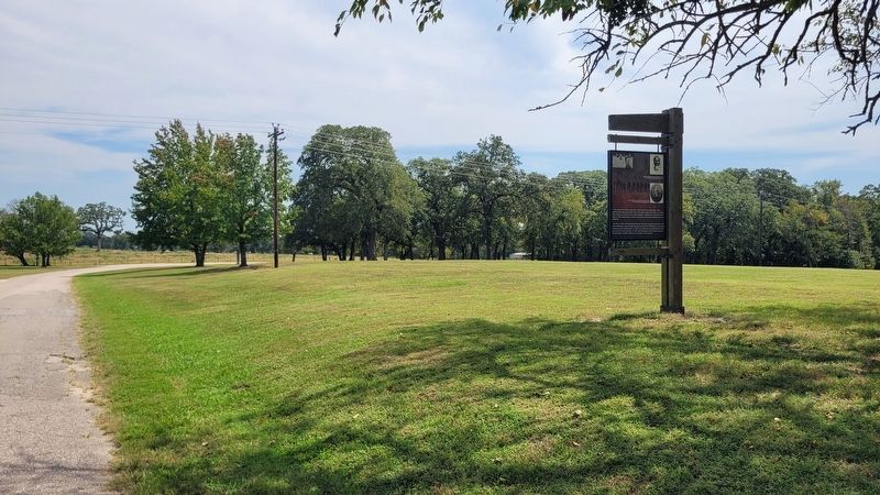
3. The view of the marker along the road
Credits. This page was last revised on September 13, 2025. It was originally submitted on September 12, 2025, by James Hulse of Medina, Texas. This page has been viewed 169 times since then and 53 times this year. Photos: 1, 2, 3. submitted on September 13, 2025, by James Hulse of Medina, Texas.
