Near Wilson in Atoka County, Oklahoma — The American South (West South Central)
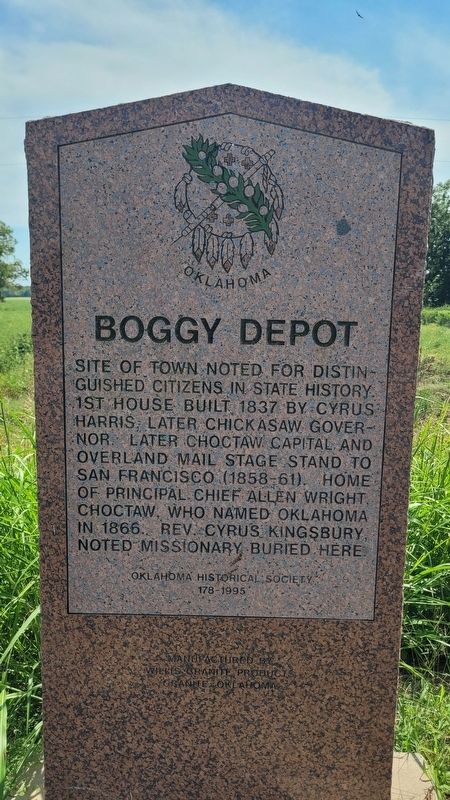
Boggy Depot
Photographed by James Hulse, September 10, 2025
1. Boggy Depot Marker
Erected 1995 by Oklahoma Historical Society and Willis Granite Products. (Marker Number 178.)
Topics. This historical marker is listed in these topic lists: Communications • Indigenous Peoples and Communities • Roads & Vehicles • Settlements & Settlers. A significant historical year for this entry is 1837.
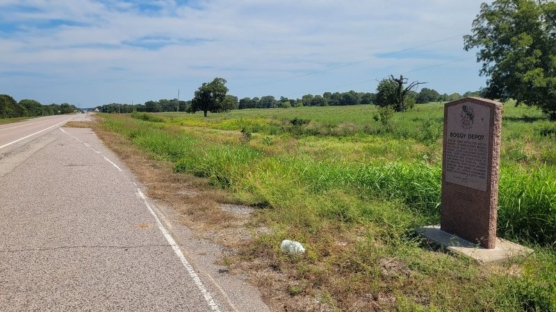
Location. 34° 22.055′ N, 96° 19.67′ W. Marker is near Wilson, Oklahoma, in Atoka County. It is on State Highway 7 0.1 miles west of South Park Road, on the left when traveling west. The marker is located along the highway and west of clear Boggy Creek. Touch for map. Marker is in this post office area: Wapanucka OK 73461, United States of America. Touch for directions.

Regionally, this marker is in the Choctaw Nation and in Southeast Oklahoma—Choctaw Country. It is also in the American South, specifically on the prairies, and on the Southern Plains. Globally, it is in North America, the Western Hemisphere, the Western World, and the Anglosphere. Historically, it finds itself in what was once the territory of the Mississippian Culture and also the Louisiana Purchase.
Other nearby markers. At least 8 other markers are within 12 miles of this marker, measured as the crow flies: Chief Allen Wright (approx. 3½ miles away); a different marker also named Boggy Depot (approx. 3½ miles away); Chickasaw and Choctaw Nations during the Civil War (approx. 3½ miles away); Prairie Grassland (approx. 3½ miles away); Oklahoma's First Catholic Church (approx.
this page online
Photographed by James Hulse, September 10, 2025
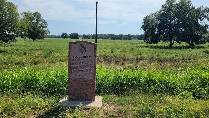
2. Boggy Depot Marker
Photographed by James Hulse, September 10, 2025
3. The view of the Boggy Depot Marker along the street
Credits. This page was last revised on September 13, 2025. It was originally submitted on September 12, 2025, by James Hulse of Medina, Texas. This page has been viewed 83 times since then and 25 times this year. Photos: 1, 2, 3. submitted on September 13, 2025, by James Hulse of Medina, Texas.
