
Brentwood in Williamson County, Tennessee — The American South (East South Central)
Native American Town

Photographed by Darren Jefferson Clay, September 7, 2025
1. Native American Town Marker
Sometime between AD 1250-1450, a highly organized Native American culture built a town on this site. Based upon the numerous houses uncovered during a 1997 archaeological excavation of the area, it is estimated that from 500 to 1000 people may have lived here. At death, adults and older children were buried either in small family clusters within the habitation area, or in more formal cemeteries near the town. Infants were buried inside the houses.
Farmers, Hunters and Traders
The natives in this town were farmers, hunters and traders. Their diet consisted primarily of corn, supplemented with deer and small game. Their drinking water same from the Little Harpeth River and a nearby spring.
The town residents made a variety of pottery vessels, stone and bone tools, statuary and jewelry. Special items were traded with other Native Americans both locally and from as far away as the Gulf of Mexico and the Great Lakes area.
• Mississippian period (AD 900-1450) Towns have been unearthed in several other locations here in Brentwood.
• The Fawkes site, one of the most significant Mississippian towns in this
this page online
• The Brentwood Library site was the location of an earlier archaeological excavation in 1882 sponsored by the Peabody Museum of Archaeology and Ethnology at Harvard University.
The Town Wall
A palisade built of wood poles and clay encircled the town to protect the residents. Bastions, or guard towers, represent an important part of the wall.
A Typical House
Houses were square, with walls made of wood posts interwoven with cane and plastered with clay. These structures had thatch roofs. and central fireplaces.
Effigy Bottle
Pottery vessels, such as this human effigy bottle, were tempered with crushed mussel shell. The opening is at the back of the head.
Erected by City of Brentwood.
Topics. This historical marker is listed in these topic lists: Anthropology & Archaeology • Indigenous Peoples and Communities • Settlements & Settlers.
Location. 35° 59.728′ N, 86° 47.365′ W. Marker is in Brentwood, Tennessee, in Williamson County. It can be reached from Knox
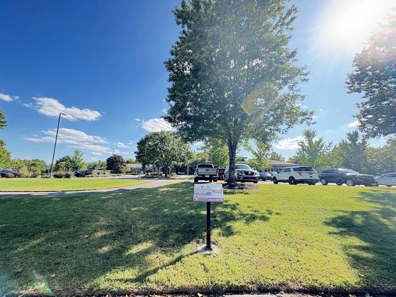
Photographed by Darren Jefferson Clay, September 7, 2025
2. Native American Town Marker

Regionally, this marker is in Middle Tennessee and in Greater Nashville. It is also in the American South and specifically in the Upper South. Globally, it is in North America, the Western Hemisphere, the Western World, and the Anglosphere. Historically, it finds itself in what was once the territory of the Mississippian Culture, one of the Confederate States of America, and the Antebellum South.
Other nearby markers. At least 8 other markers are within walking distance of this marker: A Little Bit of Mount Vernon in Brentwood (within shouting distance of this marker); The WSM Tower (within shouting distance of this marker); Brentwood's Mighty Oak (about 300 feet away, measured in a direct line); Spring House (about 400 feet away); Lipscomb Elementary School (about 800 feet away); WSM Broadcasting Transmitter & Antenna (approx. ¼ mile away); a different marker also named Lipscomb Elementary School (approx. ¼ mile away); a different marker also named The WSM Tower (approx. 0.4 miles away). Touch for a list and map of all markers in Brentwood.
Credits. This page was last revised on September 14, 2025. It was originally submitted on September 13, 2025, by Darren Jefferson Clay of Duluth, Georgia. This page has been viewed 97 times since then and 33 times this year. Photos: 1, 2. submitted on September 13, 2025, by Darren Jefferson Clay of Duluth, Georgia. • James Hulse was the editor who published this page.
