Dover in Kingfisher County, Oklahoma — The American South (West South Central)
Red Fork Station
Site 3 Blocks South
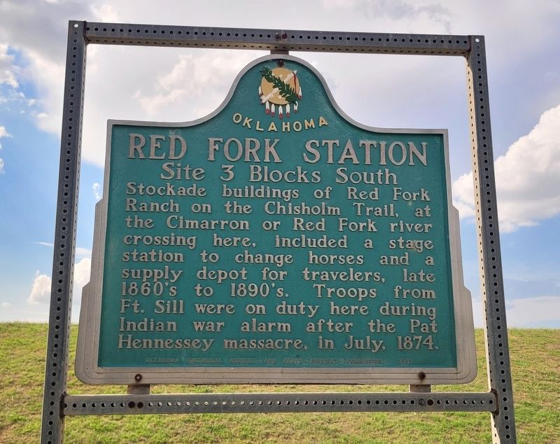
Photographed by James Hulse, September 15, 2025
1. Red Fork Station Marker
Erected 1959 by Oklahoma Historical Society and State Highway Commission.
Topics. This historical marker is listed in these topic lists: Animals • Industry & Commerce • Roads & Vehicles • Wars, US Indian. A significant historical month for this entry is July 1874.
Location. 35° 59.212′ N, 97° 54.527′ W. Marker is in Dover, Oklahoma, in Kingfisher County. It is at the intersection of North Chisholm Trail Drive (U.S. 81) and County Road E710, on the left when traveling south on North Chisholm Trail Drive. The marker is located in the Chisholm Trail Park. Touch for map. Marker is at or near this postal address: 520 N Chisholm Trl Dr, Dover OK 73734, United States of America. Touch for directions.

Regionally, this marker is in Northwest Oklahoma — Red Carpet Country and specifically in Central Oklahoma—Frontier
this page online
Other nearby markers. At least 8 other markers are within 9 miles of this marker, measured as the crow flies: Red Fork Ranch (a few steps from this marker); Baker's Ranch (approx. 4.8 miles away); Rural Electrification (approx. 6½ miles away); Bull Foot Station (approx. 7.9 miles away); Pioneer Telephone Cooperative, Inc. (approx. 8.6 miles away); Kingfisher (approx. 8.6 miles away); First Rural Mail Route (approx. 8.6 miles away); Pat Hennessey (approx. 8.6 miles away).
Also see . . . Red Fork Ranch - The Encyclopedia of Oklahoma History and Culture. Oklahoma Historical Society
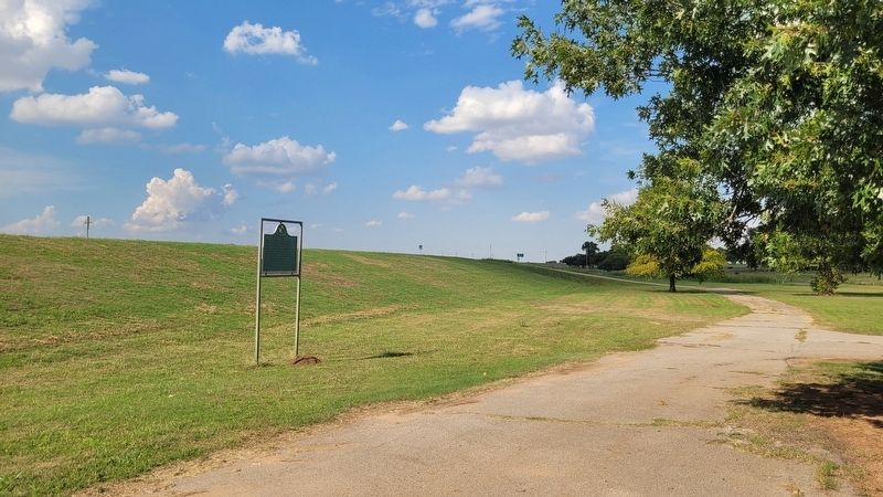
Founded in 1872 at present Dover in Kingfisher County, the Red Fork Ranch was a strategically located trading post situated above the high water mark where the Chisholm Trail intersected the Cimarron River.(Submitted on September 19, 2025, by James Hulse of Medina, Texas.)At the time of its creation trading posts were referred to as "trader's ranches," and the river was known as "the Red Fork of the Arkansas River," thus originating the name Red Fork Trader's Ranch. In 1872 the trading firm of William McDole Lee and Albert E. Reynolds established the ranch. Lee and Reynolds encouraged cattlemen to fatten their herds over the winter on range surrounding the trading post. A semiweekly stage service from Arkansas City, Kansas, to Fort Sill created the need for keeping the ranch open year round.Photographed by James Hulse, September 15, 20252. Red Fork Station MarkerThe marker is located between the highway and the park
Credits. This page was last revised on September 19, 2025. It was originally submitted on September 18, 2025, by James Hulse of Medina, Texas. This page has been viewed 116 times since then and 44 times this year. Photos: 1, 2. submitted on September 19, 2025, by James Hulse of Medina, Texas.
