Mansfield in Richland County, Ohio — The American Midwest (Great Lakes)
Ohio Standard Baseline
Photographed by Craig Doda, September 20, 2025
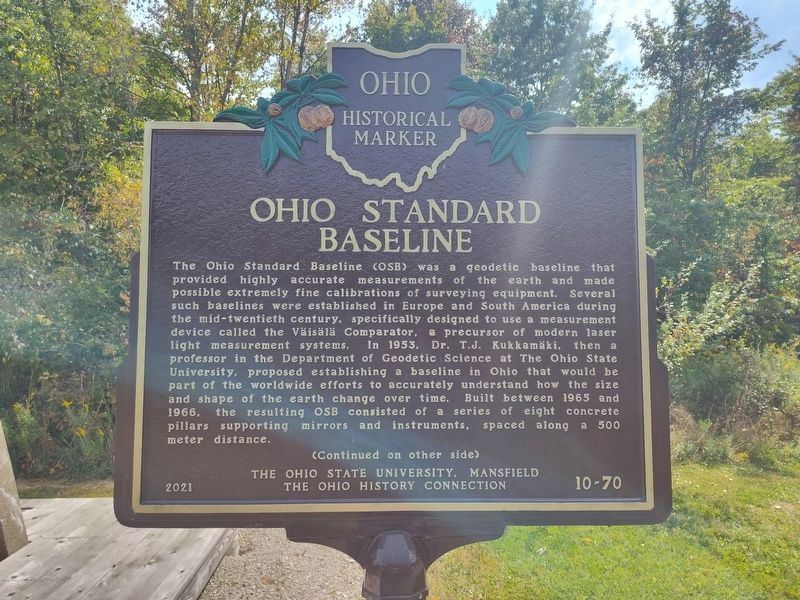
1. Ohio Standard Baseline Marker, Side One
The Ohio Standard Baseline (OSB) was a geodetic baseline that provided highly accurate measurements of the earth and made possible extremely fine calibrations of surveying equipment. Several such baselines were established in Europe and South America during the mid-twentieth century, specifically designed to use a measurement device called the Väisälä Comparator, a precursor of modern laser light measurement systems. In 1953, Dr. T.J. Kukkamäki, then a professor in the Department of Geodetic Science at The Ohio State University, proposed establishing a baseline in Ohio that would be part of the worldwide efforts to accurately understand how the size and shape of the earth change over time. Built between 1965 and 1966, the resulting OSB consisted of a series of eight concrete pillars supporting mirrors and instruments, spaced along a 500 meter distance.
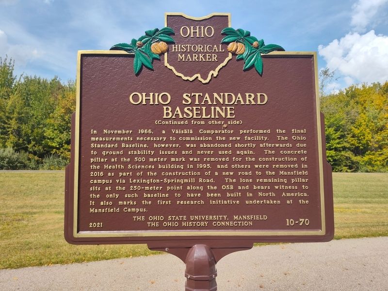
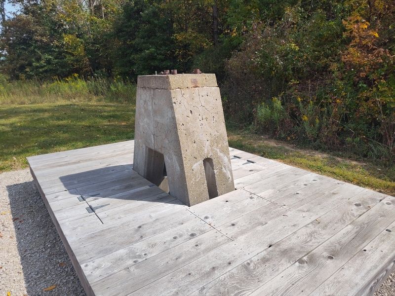
In November 1966, a Väisälä Comparator performed the final measurements necessary to commission the new facility. The Ohio Standard Baseline, however, was abandoned shortly afterwards due to ground stability issues and never used again. The concrete pillar at the 500
this page online
Erected 2021 by The Ohio State University, Mansfield / The Ohio History Connection. (Marker Number 10-70.)
Topics and series. This historical marker is listed in these topic lists: Education • Environment • Science & Medicine. In addition, it is included in the Ohio Historical Society / The Ohio History Connection series list. A significant historical month for this entry is November 1966.
Location. 40° 47.777′ N, 82° 35.218′ W. Marker is in Mansfield, Ohio, in Richland County. It is at the intersection of Kenwood Circle and North Lexington-Springmill Road, on the right when traveling east on Kenwood Circle. Touch for map. Marker is at or near this postal address: 2421 Kenwood Cir, Mansfield OH
Photographed by Craig Doda, September 20, 2025
2. Ohio Standard Baseline Marker, Side Two

Regionally, this marker is in the American Midwest. Globally, it is in North America, the Western Hemisphere, the Western World, and the Anglosphere. Historically, it finds itself in what was once the Haudenosaunee (Iroquois) Confederacy, the territory of the Mississippian Culture, and the Northwest Territory.
Other nearby markers. At least 8 other markers are within 4 miles of this marker, measured as the crow flies: Measuring Distance With Light Waves (here, next to this marker); We Remember The Holocaust And Say... Never Again (approx. 3½ miles away); Mansfield Block House (approx. 3½ miles away); "Johnny Appleseed" Monument (approx. 3.6 miles away); 120th Ohio Volunteer Infantry Memorial (approx. 3.6 miles away); St. Peters Evangelical Lutheran Church Bell (approx. 3.6 miles away); The Sultana Disaster (approx. 3.6 miles away); Eagle Scout Projects at South Park (approx. 3.6 miles away). Touch for a list and map of all markers in Mansfield.
Photographed by Craig Doda, September 20, 2025
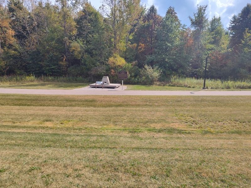
3. Ohio Standard Baseline Marker
Photographed by Craig Doda, September 20, 2025
4. Ohio Standard Baseline Marker
Credits. This page was last revised on September 29, 2025. It was originally submitted on September 21, 2025, by Craig Doda of Napoleon, Ohio. This page has been viewed 45 times since then and 20 times this year. Photos: 1, 2, 3, 4. submitted on September 21, 2025, by Craig Doda of Napoleon, Ohio. • Devry Becker Jones was the editor who published this page.
